31 Rangeley Ave Rangeley, ME 04970
Estimated Value: $429,000 - $720,000
2
Beds
2
Baths
1,500
Sq Ft
$415/Sq Ft
Est. Value
About This Home
This home is located at 31 Rangeley Ave, Rangeley, ME 04970 and is currently estimated at $622,438, approximately $414 per square foot. 31 Rangeley Ave is a home located in Franklin County with nearby schools including Rangeley Lakes Regional School.
Ownership History
Date
Name
Owned For
Owner Type
Purchase Details
Closed on
Feb 9, 2024
Sold by
Cushman Susan L and Alick Michael L
Bought by
Koob Michael R
Current Estimated Value
Home Financials for this Owner
Home Financials are based on the most recent Mortgage that was taken out on this home.
Original Mortgage
$560,000
Outstanding Balance
$550,103
Interest Rate
6.61%
Mortgage Type
Purchase Money Mortgage
Estimated Equity
$72,335
Create a Home Valuation Report for This Property
The Home Valuation Report is an in-depth analysis detailing your home's value as well as a comparison with similar homes in the area
Purchase History
| Date | Buyer | Sale Price | Title Company |
|---|---|---|---|
| Koob Michael R | $670,000 | None Available | |
| Koob Michael R | $670,000 | None Available |
Source: Public Records
Mortgage History
| Date | Status | Borrower | Loan Amount |
|---|---|---|---|
| Open | Koob Michael R | $560,000 | |
| Closed | Koob Michael R | $560,000 |
Source: Public Records
Tax History
| Year | Tax Paid | Tax Assessment Tax Assessment Total Assessment is a certain percentage of the fair market value that is determined by local assessors to be the total taxable value of land and additions on the property. | Land | Improvement |
|---|---|---|---|---|
| 2024 | $4,452 | $364,000 | $64,000 | $300,000 |
| 2023 | $4,452 | $364,000 | $64,000 | $300,000 |
| 2022 | $3,920 | $260,300 | $45,700 | $214,600 |
| 2021 | $3,860 | $260,300 | $45,700 | $214,600 |
| 2020 | $3,603 | $260,300 | $45,700 | $214,600 |
| 2019 | $3,631 | $260,300 | $45,700 | $214,600 |
| 2018 | $3,514 | $260,300 | $45,700 | $214,600 |
| 2017 | $3,298 | $260,300 | $45,700 | $214,600 |
| 2016 | $3,103 | $260,300 | $45,700 | $214,600 |
Source: Public Records
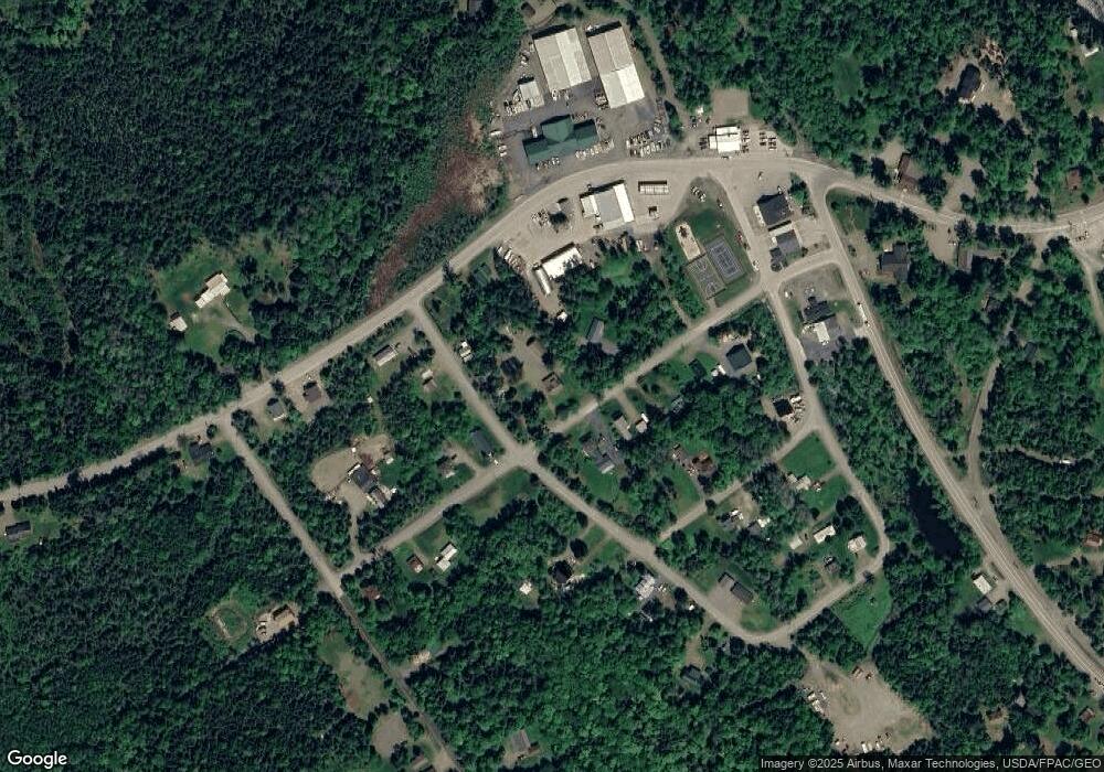
Map
Nearby Homes
- 60 Targett Rd
- 65 Judkins Rd
- 4 Gilbert Cir
- 658 Mingo Loop Rd
- 642 Mingo Loop Rd
- 574 Mingo Loop Rd
- 30 Spotted Fawn Ln
- 62 Hernborg Rd
- 640 Bald Mountain Rd
- 641 Bald Mountain Rd
- Lot 7 Sanctuary Dr
- 378 Mingo Loop Rd
- 163 Bemis Rd
- 166 Bemis Rd
- lot 31,32 Stephens Rd
- 41 Stone Hedge Ln
- Lot 7.4 Pleasant Island Rd
- 117 Pleasant Island Rd
- 0 Pleasant Island Rd Unit 1630785
- Lot 0-3 Pleasant Island Rd
- 28 Oxford St
- 23 Rangeley Rd
- 10 Oxford St
- #8 Rangeley Ave
- 35 Rangeley Ave
- 28 Rangeley Rd
- 28 Rangeley Ave
- 0 Oxford St
- 12-3A Toothaker Island
- 32 Rangeley Rd
- 297 Shelton Memorial Trail
- 0 Route17&herbiewelchtrail Range Unit 998400
- TBD Route 17 Rangeley Plantation
- 20 Rangeley Avenue Oquossoc
- 487 Upper Dam Rd
- 489 Upper Dam Rd
- 24 Rangeley Rd
- 94 Pleasant Island Rd
- Lot C Pleasant Island Rd
- Lot 6 Pleasant Island Dr
Your Personal Tour Guide
Ask me questions while you tour the home.