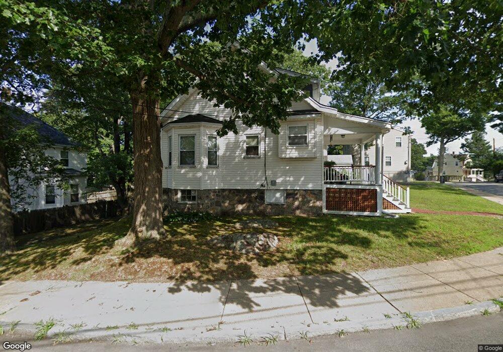
31 Ridlon Rd Mattapan, MA 02126
Hyde Park NeighborhoodEstimated Value: $622,000 - $661,000
3
Beds
1
Bath
1,536
Sq Ft
$418/Sq Ft
Est. Value
About This Home
This home is located at 31 Ridlon Rd, Mattapan, MA 02126 and is currently estimated at $641,390, approximately $417 per square foot. 31 Ridlon Rd is a home located in Suffolk County with nearby schools including KIPP Academy Boston Charter School, Boston Preparatory Charter Public School, and Berea Seventh-day Adventist Academy.
Ownership History
Date
Name
Owned For
Owner Type
Purchase Details
Closed on
Sep 26, 1996
Sold by
Warner J Curtis
Bought by
Reid Ronald I
Current Estimated Value
Home Financials for this Owner
Home Financials are based on the most recent Mortgage that was taken out on this home.
Original Mortgage
$91,820
Interest Rate
7.83%
Mortgage Type
Purchase Money Mortgage
Create a Home Valuation Report for This Property
The Home Valuation Report is an in-depth analysis detailing your home's value as well as a comparison with similar homes in the area
Home Values in the Area
Average Home Value in this Area
Purchase History
| Date | Buyer | Sale Price | Title Company |
|---|---|---|---|
| Reid Ronald I | $95,500 | -- |
Source: Public Records
Mortgage History
| Date | Status | Borrower | Loan Amount |
|---|---|---|---|
| Open | Reid Ronald I | $145,000 | |
| Closed | Reid Ronald I | $108,800 | |
| Closed | Reid Ronald I | $91,820 | |
| Previous Owner | Reid Ronald I | $55,000 |
Source: Public Records
Tax History Compared to Growth
Tax History
| Year | Tax Paid | Tax Assessment Tax Assessment Total Assessment is a certain percentage of the fair market value that is determined by local assessors to be the total taxable value of land and additions on the property. | Land | Improvement |
|---|---|---|---|---|
| 2025 | $5,887 | $508,400 | $220,700 | $287,700 |
| 2024 | $5,503 | $504,900 | $245,100 | $259,800 |
| 2023 | $5,022 | $467,600 | $227,000 | $240,600 |
| 2022 | $4,753 | $436,900 | $212,100 | $224,800 |
| 2021 | $4,282 | $401,300 | $203,900 | $197,400 |
| 2020 | $3,992 | $378,000 | $178,200 | $199,800 |
| 2019 | $3,611 | $342,600 | $137,600 | $205,000 |
| 2018 | $3,419 | $326,200 | $137,600 | $188,600 |
| 2017 | $3,171 | $299,400 | $137,600 | $161,800 |
| 2016 | $3,108 | $282,500 | $137,600 | $144,900 |
| 2015 | $2,949 | $243,500 | $120,600 | $122,900 |
| 2014 | -- | $225,100 | $120,600 | $104,500 |
Source: Public Records
Map
Nearby Homes
- 34 Ridlon Rd
- 265 Hebron St
- 839-843 Cummins Hwy
- 0 Tina Ave
- 179 Hebron St
- 231 Itasca St
- 7 Winborough St
- 770 Cummins Hwy Unit 1
- 770 Cummins Hwy Unit 22
- 72 Livermore St
- 10 Brockton St
- 90 Hollingsworth St
- 23 Caton St
- 25 Alpine St Unit 7
- 645 River St
- 95 Woodhaven St
- 48-50 Rockdale St
- 100 Itasca St
- 20 Massasoit St
- 14-14R Kennebec St