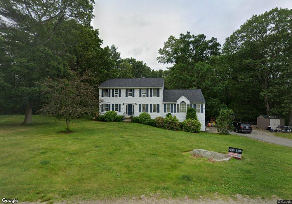
31 Royal Ln Londonderry, NH 03053
Estimated Value: $710,000 - $753,000
3
Beds
3
Baths
2,356
Sq Ft
$311/Sq Ft
Est. Value
About This Home
This home is located at 31 Royal Ln, Londonderry, NH 03053 and is currently estimated at $733,703, approximately $311 per square foot. 31 Royal Ln is a home with nearby schools including North Londonderry Elementary School, Londonderry Middle School, and Londonderry Senior High School.
Create a Home Valuation Report for This Property
The Home Valuation Report is an in-depth analysis detailing your home's value as well as a comparison with similar homes in the area
Home Values in the Area
Average Home Value in this Area
Tax History Compared to Growth
Tax History
| Year | Tax Paid | Tax Assessment Tax Assessment Total Assessment is a certain percentage of the fair market value that is determined by local assessors to be the total taxable value of land and additions on the property. | Land | Improvement |
|---|---|---|---|---|
| 2024 | $9,626 | $596,400 | $207,500 | $388,900 |
| 2023 | $9,376 | $599,100 | $207,500 | $391,600 |
| 2022 | $8,734 | $472,600 | $155,800 | $316,800 |
| 2021 | $8,734 | $475,200 | $155,800 | $319,400 |
| 2020 | $8,692 | $432,200 | $124,900 | $307,300 |
| 2019 | $8,380 | $432,200 | $124,900 | $307,300 |
| 2018 | $7,763 | $356,100 | $104,000 | $252,100 |
| 2017 | $7,695 | $356,100 | $104,000 | $252,100 |
| 2016 | $7,656 | $356,100 | $104,000 | $252,100 |
| 2015 | $7,485 | $356,100 | $104,000 | $252,100 |
| 2014 | $7,510 | $356,100 | $104,000 | $252,100 |
| 2011 | -- | $361,600 | $104,000 | $257,600 |
Source: Public Records
Map
Nearby Homes
- 90 High Range Rd
- 88 High Range Rd
- 6 Wiley Hill Rd
- 11 Elise Ave Unit Lot 91
- 224 High Range Rd
- 10 Jason Dr
- 15 Alan Cir
- 4 Quincy Rd
- 4 Quincy Rd Unit A
- 169 Fieldstone Dr
- 5 Delphi Way
- 7 Delphi Way
- 1 Delphi Way
- 1 Delphi Way Unit 10
- 118 Fieldstone Dr Unit 118
- 20 Locke Mill Dr
- 13 Moose Hollow Rd
- 19 Dixon Dr
- 214 Winding Pond Rd
- 4 Sunset Dr Unit A