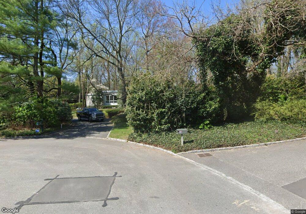
31 Sousa Dr Port Washington, NY 11050
Estimated Value: $3,068,098
--
Bed
5
Baths
4,748
Sq Ft
$646/Sq Ft
Est. Value
About This Home
This home is located at 31 Sousa Dr, Port Washington, NY 11050 and is currently estimated at $3,068,098, approximately $646 per square foot. 31 Sousa Dr is a home located in Nassau County with nearby schools including Manorhaven Elementary School, Carrie Palmer Weber Middle School, and Paul D. Schreiber Senior High School.
Ownership History
Date
Name
Owned For
Owner Type
Purchase Details
Closed on
Dec 13, 2012
Sold by
Levine Jesse B and Silverstein Levine Lynn
Bought by
Levine Jesse B and Silverstien Levine Lynn
Current Estimated Value
Purchase Details
Closed on
Mar 31, 1998
Purchase Details
Closed on
Sep 15, 1995
Sold by
Fain Lynne
Bought by
Levine Jessie and Levine Lynn
Home Financials for this Owner
Home Financials are based on the most recent Mortgage that was taken out on this home.
Original Mortgage
$600,000
Interest Rate
7.89%
Create a Home Valuation Report for This Property
The Home Valuation Report is an in-depth analysis detailing your home's value as well as a comparison with similar homes in the area
Home Values in the Area
Average Home Value in this Area
Purchase History
| Date | Buyer | Sale Price | Title Company |
|---|---|---|---|
| Levine Jesse B | -- | -- | |
| -- | -- | -- | |
| Levine Jessie | $800,000 | -- |
Source: Public Records
Mortgage History
| Date | Status | Borrower | Loan Amount |
|---|---|---|---|
| Previous Owner | Levine Jessie | $600,000 |
Source: Public Records
Tax History Compared to Growth
Tax History
| Year | Tax Paid | Tax Assessment Tax Assessment Total Assessment is a certain percentage of the fair market value that is determined by local assessors to be the total taxable value of land and additions on the property. | Land | Improvement |
|---|---|---|---|---|
| 2025 | $35,550 | $1,980 | $1,110 | $870 |
| 2024 | $3,694 | $2,000 | $1,121 | $879 |
| 2023 | $32,291 | $1,980 | $1,110 | $870 |
| 2022 | $32,291 | $2,119 | $1,188 | $931 |
| 2021 | $34,297 | $2,138 | $1,199 | $939 |
| 2020 | $35,080 | $3,137 | $2,603 | $534 |
| 2019 | $33,136 | $3,750 | $2,918 | $832 |
| 2018 | $37,031 | $4,000 | $0 | $0 |
| 2017 | $33,654 | $4,395 | $3,034 | $1,361 |
| 2016 | $39,321 | $4,395 | $3,034 | $1,361 |
| 2015 | $5,782 | $4,508 | $3,112 | $1,396 |
| 2014 | $5,782 | $4,508 | $3,112 | $1,396 |
| 2013 | $5,503 | $4,508 | $3,112 | $1,396 |
Source: Public Records
Map
Nearby Homes
- 12 Sloanes Ct
- 15 Hoffstot Ln
- 4 Sloanes Ct
- 9 Hilldale Ln
- 169 Middle Neck Rd
- 5 Longwood Rd
- 28 Sterling Ln
- 21 Harriman Dr
- 18 Harriman Dr
- 36 Cow Neck Rd
- 1 Harriman Dr
- 5 Half Moon Ln
- 25 Soundview Ln
- 130 Sands Point Rd
- 22 Messenger Ln
- 120 W Creek Farms Rd
- 55 Driftwood Dr
- 78 Edgewood Rd
- 68 Graywood Rd
- 59 Edgewood Rd