31 Spitzen St Moultonborough, NH 03254
Estimated Value: $654,320 - $734,000
3
Beds
2
Baths
2,440
Sq Ft
$283/Sq Ft
Est. Value
About This Home
This home is located at 31 Spitzen St, Moultonborough, NH 03254 and is currently estimated at $690,080, approximately $282 per square foot. 31 Spitzen St is a home with nearby schools including Moultonborough Central School and Moultonborough Academy High School.
Ownership History
Date
Name
Owned For
Owner Type
Purchase Details
Closed on
Feb 11, 2019
Sold by
31 Spitzen Street Rt and Schores
Bought by
Schores Mark A
Current Estimated Value
Purchase Details
Closed on
Oct 1, 2003
Sold by
Schores Ft
Bought by
Schores Mark A and Schores Linda R
Home Financials for this Owner
Home Financials are based on the most recent Mortgage that was taken out on this home.
Original Mortgage
$192,500
Interest Rate
6.25%
Mortgage Type
Purchase Money Mortgage
Create a Home Valuation Report for This Property
The Home Valuation Report is an in-depth analysis detailing your home's value as well as a comparison with similar homes in the area
Home Values in the Area
Average Home Value in this Area
Purchase History
| Date | Buyer | Sale Price | Title Company |
|---|---|---|---|
| Schores Mark A | -- | -- | |
| Schores Mark A | $292,500 | -- |
Source: Public Records
Mortgage History
| Date | Status | Borrower | Loan Amount |
|---|---|---|---|
| Previous Owner | Schores Mark A | $192,500 |
Source: Public Records
Tax History Compared to Growth
Tax History
| Year | Tax Paid | Tax Assessment Tax Assessment Total Assessment is a certain percentage of the fair market value that is determined by local assessors to be the total taxable value of land and additions on the property. | Land | Improvement |
|---|---|---|---|---|
| 2024 | $3,151 | $557,700 | $255,900 | $301,800 |
| 2023 | $2,788 | $489,100 | $195,800 | $293,300 |
| 2022 | $2,222 | $464,900 | $199,300 | $265,600 |
| 2021 | $2,754 | $394,600 | $163,000 | $231,600 |
| 2020 | $2,458 | $344,700 | $135,800 | $208,900 |
| 2019 | $2,443 | $341,700 | $146,300 | $195,400 |
| 2018 | $2,600 | $336,800 | $145,100 | $191,700 |
| 2017 | $2,746 | $334,100 | $149,300 | $184,800 |
| 2016 | $2,818 | $322,400 | $149,300 | $173,100 |
| 2015 | $2,859 | $317,300 | $161,700 | $155,600 |
| 2014 | $2,957 | $333,700 | $174,200 | $159,500 |
| 2013 | $2,647 | $304,600 | $145,100 | $159,500 |
Source: Public Records
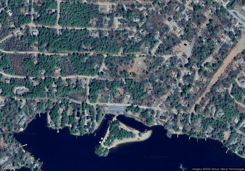
Map
Nearby Homes
- 72 Sundorf St
- 88 Suissevale Ave
- 00 Grande St Unit 44
- 0 Sundorf St Unit 901 5009559
- 00 Sundorf St Unit 117
- 65.1 Gansy Island
- 31 Suissevale Ave
- 120 Locarno St
- 00 Wintersport
- 122-1 Gwh Hwy
- 122-001-002 Governor Wentworth Hwy
- 11 Geery Ln
- 0 States Landing Rd Unit 5036165
- 7 Eden Ln
- 37 Mayflower Ln
- 21 Orton Ln
- 24 Sunrise Dr
- 27 First Point Rd
- 27 Meadow Glen Dr
- 538 Governor Wentworth Hwy
- 185 Castle Shore Rd
- 181 Castle Shore Rd
- 18 Brenner St
- 179 Castle Shore Rd
- 00 Brenner Unit 124
- 00 Brenner
- 21 Spitzen St
- 84 Saint Gallen St Unit 114
- Lot 001 Castle Shore Rd
- 120/62 Castle Shore Rd
- 0 Castle Shore Rd
- Lot 79 Castle Shore Rd
- 19 Brenner St
- 17 Spitzen St
- 211 Castle Shore Rd
- 0 Brenner St Unit 4023549
- 119 St Gallen
- 7 Brenner St
- 00 Saint Gallen St Unit 119
- 114 Saint Gallen St Unit 114