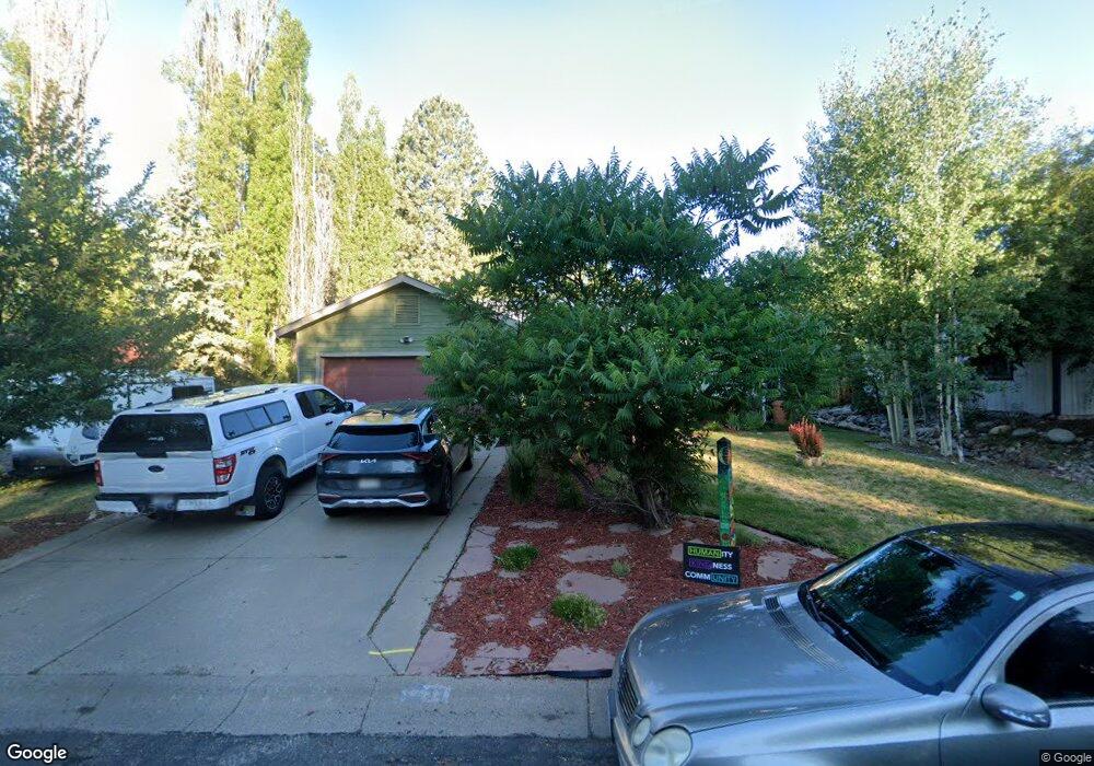
31 Spruce Dr Durango, CO 81301
Durango West NeighborhoodEstimated Value: $566,632 - $756,000
3
Beds
2
Baths
1,328
Sq Ft
$510/Sq Ft
Est. Value
About This Home
This home is located at 31 Spruce Dr, Durango, CO 81301 and is currently estimated at $677,408, approximately $510 per square foot. 31 Spruce Dr is a home located in La Plata County with nearby schools including Park Elementary School, Escalante Middle School, and Durango High School.
Ownership History
Date
Name
Owned For
Owner Type
Purchase Details
Closed on
Feb 5, 2016
Sold by
Turpen Mark
Bought by
Hibbard Kenneth and Hibbard Joanne
Current Estimated Value
Purchase Details
Closed on
Aug 22, 2013
Sold by
Hinkley Shannon and Kinkley Ethan
Bought by
Turpen Mark
Home Financials for this Owner
Home Financials are based on the most recent Mortgage that was taken out on this home.
Original Mortgage
$275,500
Interest Rate
4.36%
Mortgage Type
New Conventional
Purchase Details
Closed on
Jul 21, 2006
Sold by
Stremba Robert Henry
Bought by
Hinkley Shannon and Hinkley Ethan
Home Financials for this Owner
Home Financials are based on the most recent Mortgage that was taken out on this home.
Original Mortgage
$220,000
Interest Rate
6.6%
Mortgage Type
New Conventional
Purchase Details
Closed on
Jul 17, 1996
Bought by
Hibbard Kenneth and Hibbard Joanne
Create a Home Valuation Report for This Property
The Home Valuation Report is an in-depth analysis detailing your home's value as well as a comparison with similar homes in the area
Home Values in the Area
Average Home Value in this Area
Purchase History
| Date | Buyer | Sale Price | Title Company |
|---|---|---|---|
| Hibbard Kenneth | $307,000 | Stewart Title Company | |
| Turpen Mark | $290,000 | Colorado Land Title Co Llc | |
| Hinkley Shannon | $275,000 | Land Title | |
| Hibbard Kenneth | $147,500 | -- |
Source: Public Records
Mortgage History
| Date | Status | Borrower | Loan Amount |
|---|---|---|---|
| Previous Owner | Turpen Mark | $275,500 | |
| Previous Owner | Hinkley Shannon | $220,000 |
Source: Public Records
Tax History
| Year | Tax Paid | Tax Assessment Tax Assessment Total Assessment is a certain percentage of the fair market value that is determined by local assessors to be the total taxable value of land and additions on the property. | Land | Improvement |
|---|---|---|---|---|
| 2025 | $1,156 | $34,390 | $9,010 | $25,380 |
| 2024 | $990 | $23,570 | $6,760 | $16,810 |
| 2023 | $990 | $26,510 | $7,600 | $18,910 |
| 2022 | $969 | $28,280 | $8,110 | $20,170 |
| 2021 | $974 | $23,480 | $7,850 | $15,630 |
| 2020 | $948 | $23,560 | $7,360 | $16,200 |
| 2019 | $909 | $23,560 | $7,360 | $16,200 |
| 2018 | $847 | $21,980 | $7,410 | $14,570 |
| 2017 | $829 | $21,980 | $7,410 | $14,570 |
| 2016 | $794 | $22,830 | $8,190 | $14,640 |
| 2015 | $747 | $22,830 | $8,190 | $14,640 |
| 2014 | -- | $19,450 | $8,190 | $11,260 |
| 2013 | -- | $19,450 | $8,190 | $11,260 |
Source: Public Records
Map
Nearby Homes
- 199 Timber Dr
- 40 Hidden Ln
- 136 Oak Dr
- 31 Wood Haven Way
- 59 Holly Hock Trail
- 178 Canyon Creek Trail
- 31 Valley View Way
- 678 N Lakeside Dr
- 222 Pine Ridge Loop Unit A4
- 607 Oak Dr
- 49 Hunter Ct
- 23 Hunter Ct
- 841 Oak Dr
- TBD Vaquero Way
- 719 Terlun Dr
- 351 Cherry Gulch Rd
- 717 Zane Dr
- 269 North Rd
- 21121 Highway 140
- 21351 Colorado 140 Unit 7
Your Personal Tour Guide
Ask me questions while you tour the home.