Estimated Value: $1,681,000 - $1,827,000
5
Beds
5
Baths
4,020
Sq Ft
$430/Sq Ft
Est. Value
About This Home
This home is located at 31 Stoneymeade Way, Acton, MA 01720 and is currently estimated at $1,729,475, approximately $430 per square foot. 31 Stoneymeade Way is a home located in Middlesex County with nearby schools including Acton-Boxborough Regional High School, Nashoba Brooks School, and Concord Academy.
Ownership History
Date
Name
Owned For
Owner Type
Purchase Details
Closed on
Aug 25, 1997
Sold by
Groves Christopher K and Groves Elke W
Bought by
Woodring Stuart D and Woodring Heather D
Current Estimated Value
Purchase Details
Closed on
Dec 18, 1991
Sold by
Gilford Constr Co Inc
Bought by
Groves Christopher K and Groves Elke W
Create a Home Valuation Report for This Property
The Home Valuation Report is an in-depth analysis detailing your home's value as well as a comparison with similar homes in the area
Home Values in the Area
Average Home Value in this Area
Purchase History
| Date | Buyer | Sale Price | Title Company |
|---|---|---|---|
| Woodring Stuart D | $656,000 | -- | |
| Groves Christopher K | $435,500 | -- |
Source: Public Records
Mortgage History
| Date | Status | Borrower | Loan Amount |
|---|---|---|---|
| Open | Groves Christopher K | $400,000 | |
| Closed | Groves Christopher K | $417,000 | |
| Closed | Groves Christopher K | $500,000 |
Source: Public Records
Tax History Compared to Growth
Tax History
| Year | Tax Paid | Tax Assessment Tax Assessment Total Assessment is a certain percentage of the fair market value that is determined by local assessors to be the total taxable value of land and additions on the property. | Land | Improvement |
|---|---|---|---|---|
| 2025 | $25,962 | $1,513,800 | $456,100 | $1,057,700 |
| 2024 | $23,880 | $1,432,500 | $441,800 | $990,700 |
| 2023 | $23,372 | $1,331,000 | $402,000 | $929,000 |
| 2022 | $23,011 | $1,183,100 | $349,200 | $833,900 |
| 2021 | $22,534 | $1,113,900 | $323,700 | $790,200 |
| 2020 | $21,222 | $1,103,000 | $323,700 | $779,300 |
| 2019 | $20,689 | $1,068,100 | $323,700 | $744,400 |
| 2018 | $20,580 | $1,061,900 | $323,700 | $738,200 |
| 2017 | $20,013 | $1,050,000 | $323,700 | $726,300 |
| 2016 | $19,505 | $1,014,300 | $323,700 | $690,600 |
| 2015 | $19,096 | $1,002,400 | $323,700 | $678,700 |
| 2014 | $17,377 | $893,400 | $323,700 | $569,700 |
Source: Public Records
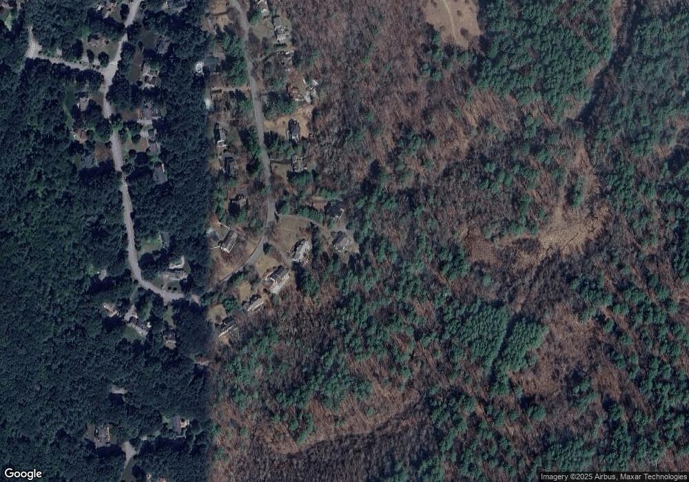
Map
Nearby Homes
- 10 Wingate Ln
- 134 Pope Rd
- 104 Channing Rd
- 19 Whippoorwill Ln
- 1 Bayberry Rd
- 209 Great Rd Unit C1
- 11 Horseshoe Dr
- 855 Barretts Mill Rd
- 6 Bittersweet Ln
- 79-81 Assabet Ave
- 7 Blue Heron Way
- 10 Blue Heron Way Unit 10
- 10 Blue Heron Way
- 709 Main St
- 37 Hosmer St
- 10 Wright Rd
- 88 Wright Rd
- 524 Main St
- 491 Main St
- 295 Musterfield Rd
- 33 Stoneymeade Way
- 35 Stoneymeade Way
- 27 Stoneymeade Way
- 26 Stoneymeade Way
- 37 Stoneymeade Way
- 28 Stoneymeade Way
- 25 Stoneymeade Way
- 32 Stoneymeade Way
- 23 Stoneymeade Way
- 39 Stoneymeade Way
- 36 Stoneymeade Way
- 22 Stoneymeade Way
- 18 Stoneymeade Way
- 41 Stoneymeade Way
- 40 Stoneymeade Way
- 10 Stoneymeade Way
- 21 Stoneymeade Way
- 6 Stoneymeade Way
- 19 Stoneymeade Way
- 44 Stoneymeade Way