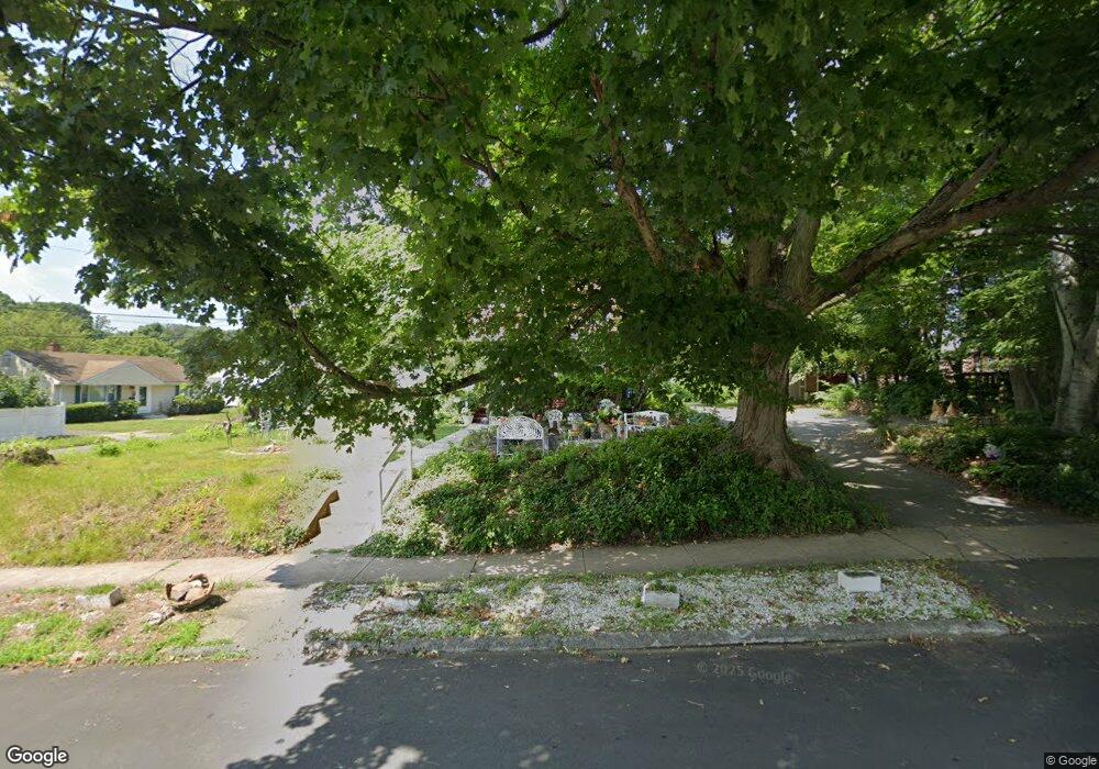
31 Thomas St Hamden, CT 06514
Estimated Value: $327,000 - $375,267
3
Beds
2
Baths
1,716
Sq Ft
$208/Sq Ft
Est. Value
About This Home
This home is located at 31 Thomas St, Hamden, CT 06514 and is currently estimated at $357,067, approximately $208 per square foot. 31 Thomas St is a home located in New Haven County with nearby schools including Hamden Middle School, Hamden High School, and Common Ground High School.
Ownership History
Date
Name
Owned For
Owner Type
Purchase Details
Closed on
Jul 9, 2003
Sold by
Soltis Thomas J and Soltis Susan L
Bought by
Mcalphine Marsha L Ransom
Current Estimated Value
Home Financials for this Owner
Home Financials are based on the most recent Mortgage that was taken out on this home.
Original Mortgage
$171,803
Outstanding Balance
$73,453
Interest Rate
5.45%
Estimated Equity
$283,614
Purchase Details
Closed on
Jun 2, 1987
Sold by
Lesver Brian J
Bought by
Soltis Thomas J
Create a Home Valuation Report for This Property
The Home Valuation Report is an in-depth analysis detailing your home's value as well as a comparison with similar homes in the area
Home Values in the Area
Average Home Value in this Area
Purchase History
We collect this data history from publicly available records. To have your information removed, we recommend requesting removal directly through your county’s website.
| Date | Buyer | Sale Price | Title Company |
|---|---|---|---|
| Mcalphine Marsha L Ransom | $174,500 | -- | |
| Soltis Thomas J | $157,000 | -- |
Source: Public Records
Mortgage History
We collect this data history from publicly available records. To have your information removed, we recommend requesting removal directly through your county’s website.
| Date | Status | Borrower | Loan Amount |
|---|---|---|---|
| Open | Soltis Thomas J | $45,919 | |
| Closed | Soltis Thomas J | $29,849 | |
| Open | Soltis Thomas J | $171,803 | |
| Previous Owner | Soltis Thomas J | $120,000 |
Source: Public Records
Tax History
| Year | Tax Paid | Tax Assessment Tax Assessment Total Assessment is a certain percentage of the fair market value that is determined by local assessors to be the total taxable value of land and additions on the property. | Land | Improvement |
|---|---|---|---|---|
| 2025 | $11,893 | $229,250 | $63,000 | $166,250 |
| 2024 | $7,575 | $136,220 | $34,860 | $101,360 |
| 2023 | $7,680 | $136,220 | $34,860 | $101,360 |
| 2022 | $7,557 | $136,220 | $34,860 | $101,360 |
| 2021 | $7,143 | $136,220 | $34,860 | $101,360 |
| 2020 | $6,662 | $128,170 | $46,480 | $81,690 |
| 2019 | $6,262 | $128,170 | $46,480 | $81,690 |
| 2018 | $6,147 | $128,170 | $46,480 | $81,690 |
| 2017 | $5,801 | $128,170 | $46,480 | $81,690 |
| 2016 | $5,814 | $128,170 | $46,480 | $81,690 |
| 2015 | $5,833 | $142,730 | $58,100 | $84,630 |
| 2014 | $5,699 | $142,730 | $58,100 | $84,630 |
Source: Public Records
Map
Nearby Homes
Your Personal Tour Guide
Ask me questions while you tour the home.