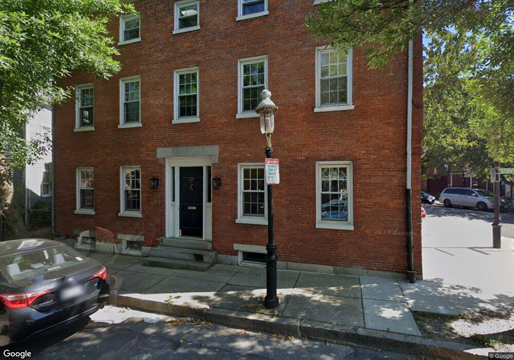
31 Union St Unit 1 Charlestown, MA 02129
Thompson Square-Bunker Hill NeighborhoodEstimated Value: $1,029,000 - $1,183,000
3
Beds
2
Baths
1,232
Sq Ft
$901/Sq Ft
Est. Value
About This Home
This home is located at 31 Union St Unit 1, Charlestown, MA 02129 and is currently estimated at $1,109,954, approximately $900 per square foot. 31 Union St Unit 1 is a home located in Suffolk County with nearby schools including Boston Children's School and St John School.
Ownership History
Date
Name
Owned For
Owner Type
Purchase Details
Closed on
Apr 16, 2010
Sold by
Riviere Elizabeth M and Mackay Roberts S
Bought by
Dorsey Gemma L
Current Estimated Value
Home Financials for this Owner
Home Financials are based on the most recent Mortgage that was taken out on this home.
Original Mortgage
$225,000
Outstanding Balance
$149,635
Interest Rate
4.97%
Mortgage Type
Purchase Money Mortgage
Estimated Equity
$960,319
Purchase Details
Closed on
Sep 19, 1988
Sold by
Union St Inc 31
Bought by
Mackey Richard S
Create a Home Valuation Report for This Property
The Home Valuation Report is an in-depth analysis detailing your home's value as well as a comparison with similar homes in the area
Home Values in the Area
Average Home Value in this Area
Purchase History
| Date | Buyer | Sale Price | Title Company |
|---|---|---|---|
| Dorsey Gemma L | $455,000 | -- | |
| Mackey Richard S | $220,000 | -- |
Source: Public Records
Mortgage History
| Date | Status | Borrower | Loan Amount |
|---|---|---|---|
| Open | Dorsey Gemma L | $225,000 |
Source: Public Records
Tax History Compared to Growth
Tax History
| Year | Tax Paid | Tax Assessment Tax Assessment Total Assessment is a certain percentage of the fair market value that is determined by local assessors to be the total taxable value of land and additions on the property. | Land | Improvement |
|---|---|---|---|---|
| 2025 | $11,440 | $987,900 | $0 | $987,900 |
| 2024 | $10,350 | $949,500 | $0 | $949,500 |
| 2023 | $9,704 | $903,500 | $0 | $903,500 |
| 2022 | $9,450 | $868,600 | $0 | $868,600 |
| 2021 | $9,087 | $851,600 | $0 | $851,600 |
| 2020 | $8,361 | $791,800 | $0 | $791,800 |
| 2019 | $7,796 | $739,700 | $0 | $739,700 |
| 2018 | $7,384 | $704,600 | $0 | $704,600 |
| 2017 | $7,240 | $683,700 | $0 | $683,700 |
| 2016 | $7,163 | $651,200 | $0 | $651,200 |
| 2015 | $7,002 | $578,200 | $0 | $578,200 |
| 2014 | $6,477 | $514,900 | $0 | $514,900 |
Source: Public Records
Map
Nearby Homes
- 1 Washington Place
- 22 Harvard St
- 46 High St
- 56 High St Unit 3
- 17 Henley St Unit F
- 17 Henley St Unit B
- 5 Wallace Ct
- 73 Chelsea St Unit 401
- 172 Bunker Hill St Unit 1
- 8-10 Museum Way Unit 1429
- 9 Russell St Unit 2
- 9 Russell St Unit 1
- 15 Russell St
- 8 Museum Way Unit 1201
- 8 Museum Way Unit 504
- 8 Museum Way Unit 1103
- 207 Bunker Hill St Unit 2
- 10 Museum Way Unit 1322
- 10 Museum Way Unit 828
- 8-12 Museum Way Unit 307
- 31 Union St Unit 3
- 31 Union St Unit 2
- 29 Union St Unit 29A
- 29 Union St Unit 2
- 29 Union St
- 117 Rutherford Ave
- 109 Rutherford Ave Unit 2
- 109 Rutherford Ave Unit 1
- 107 Rutherford Ave
- 107 Rutherford Ave Unit 1
- 30 Union St
- 23 Union St Unit 4
- 23 Union St Unit 3
- 23 Union St Unit 2
- 23 Union St Unit 1
- 23 Union St Unit 3,23
- 35 Union St
- 35 Union St Unit Furnished
- 105 Old Rutherford Ave Unit 2
- 21 Union St