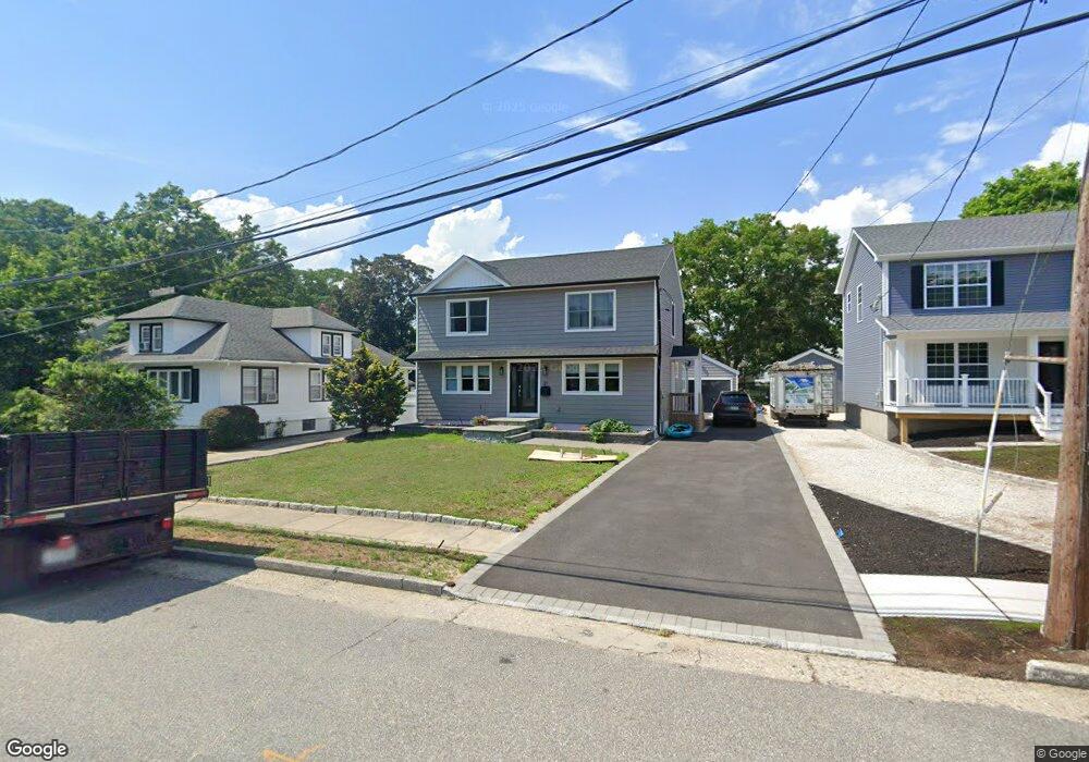
31 W 1st St Patchogue, NY 11772
Estimated Value: $441,000 - $537,000
2
Beds
2
Baths
1,374
Sq Ft
$357/Sq Ft
Est. Value
About This Home
This home is located at 31 W 1st St, Patchogue, NY 11772 and is currently estimated at $490,810, approximately $357 per square foot. 31 W 1st St is a home located in Suffolk County with nearby schools including Patchogue-Medford High School and Holy Angels Regional School.
Ownership History
Date
Name
Owned For
Owner Type
Purchase Details
Closed on
Apr 12, 2023
Sold by
Ji Roofing Exteriors Corp
Bought by
Batista-Espinal Leidy L
Current Estimated Value
Home Financials for this Owner
Home Financials are based on the most recent Mortgage that was taken out on this home.
Original Mortgage
$357,000
Interest Rate
7.7%
Mortgage Type
Adjustable Rate Mortgage/ARM
Purchase Details
Closed on
Feb 9, 2022
Sold by
Kolb Thomas and Kolb Shana
Bought by
Jag Property Management
Create a Home Valuation Report for This Property
The Home Valuation Report is an in-depth analysis detailing your home's value as well as a comparison with similar homes in the area
Home Values in the Area
Average Home Value in this Area
Purchase History
| Date | Buyer | Sale Price | Title Company |
|---|---|---|---|
| Batista-Espinal Leidy L | -- | None Available | |
| Batista-Espinal Leidy L | -- | None Available | |
| Jag Property Management | $250,000 | None Available | |
| Jag Property Management | $250,000 | None Available |
Source: Public Records
Mortgage History
| Date | Status | Borrower | Loan Amount |
|---|---|---|---|
| Previous Owner | Batista-Espinal Leidy L | $357,000 |
Source: Public Records
Tax History
| Year | Tax Paid | Tax Assessment Tax Assessment Total Assessment is a certain percentage of the fair market value that is determined by local assessors to be the total taxable value of land and additions on the property. | Land | Improvement |
|---|---|---|---|---|
| 2024 | $9,620 | $1,700 | $200 | $1,500 |
| 2023 | $6,797 | $1,700 | $200 | $1,500 |
| 2022 | $4,500 | $1,700 | $200 | $1,500 |
| 2021 | $4,500 | $1,700 | $200 | $1,500 |
| 2020 | $7,474 | $1,700 | $200 | $1,500 |
| 2019 | $7,445 | $0 | $0 | $0 |
| 2018 | -- | $1,700 | $200 | $1,500 |
| 2017 | $4,689 | $1,700 | $200 | $1,500 |
| 2016 | $4,570 | $1,700 | $200 | $1,500 |
| 2015 | -- | $1,700 | $200 | $1,500 |
| 2014 | -- | $1,700 | $200 | $1,500 |
Source: Public Records
Map
Nearby Homes
- 72 Waverly Ave
- 52 Central Ave
- 50 W Lake Dr
- 41 W 6th St
- 28 S Pinelake Dr
- 24 E 6th St
- 77 N Summit Ave
- 37 Terrace Ln
- 260 Waverly Ave Unit 33
- 260 Waverly Ave Unit 58
- 40 W 4th St Unit 149
- 40 W 4th St Unit 206
- 40 W 4th St Unit 171
- 40 W 4th St Unit 156
- 40 W 4th St Unit 215
- 9 Park Place
- 64 Highland Ave
- 24 Park Place
- 53 River Ave
- 61 River Ave
Your Personal Tour Guide
Ask me questions while you tour the home.