31 Warrens Rd Brewster, MA 02631
Estimated Value: $2,749,535 - $3,464,000
3
Beds
5
Baths
4,059
Sq Ft
$743/Sq Ft
Est. Value
About This Home
This home is located at 31 Warrens Rd, Brewster, MA 02631 and is currently estimated at $3,014,845, approximately $742 per square foot. 31 Warrens Rd is a home located in Barnstable County with nearby schools including Stony Brook Elementary School, Eddy Elementary School, and Nauset Regional Middle School.
Ownership History
Date
Name
Owned For
Owner Type
Purchase Details
Closed on
Jan 5, 1999
Sold by
Daniel J Bolbrock Lt and Bolbrock
Bought by
Batterman Robert and Blake Lorna
Current Estimated Value
Home Financials for this Owner
Home Financials are based on the most recent Mortgage that was taken out on this home.
Original Mortgage
$680,000
Outstanding Balance
$137,226
Interest Rate
6.84%
Mortgage Type
Purchase Money Mortgage
Estimated Equity
$2,877,619
Create a Home Valuation Report for This Property
The Home Valuation Report is an in-depth analysis detailing your home's value as well as a comparison with similar homes in the area
Home Values in the Area
Average Home Value in this Area
Purchase History
| Date | Buyer | Sale Price | Title Company |
|---|---|---|---|
| Batterman Robert | $850,000 | -- |
Source: Public Records
Mortgage History
| Date | Status | Borrower | Loan Amount |
|---|---|---|---|
| Open | Batterman Robert | $680,000 |
Source: Public Records
Tax History
| Year | Tax Paid | Tax Assessment Tax Assessment Total Assessment is a certain percentage of the fair market value that is determined by local assessors to be the total taxable value of land and additions on the property. | Land | Improvement |
|---|---|---|---|---|
| 2025 | $18,246 | $2,652,000 | $1,215,700 | $1,436,300 |
| 2024 | $17,164 | $2,520,400 | $1,146,900 | $1,373,500 |
| 2023 | $15,751 | $2,253,400 | $1,023,800 | $1,229,600 |
| 2022 | $17,742 | $2,260,100 | $853,000 | $1,407,100 |
| 2021 | $16,418 | $1,913,500 | $684,400 | $1,229,100 |
| 2020 | $16,204 | $1,879,800 | $684,400 | $1,195,400 |
| 2019 | $14,918 | $1,738,700 | $658,300 | $1,080,400 |
| 2018 | $14,130 | $1,710,700 | $658,300 | $1,052,400 |
| 2017 | $12,633 | $1,505,700 | $658,300 | $847,400 |
| 2016 | $12,540 | $1,487,500 | $645,500 | $842,000 |
| 2015 | $12,019 | $1,455,100 | $632,700 | $822,400 |
Source: Public Records
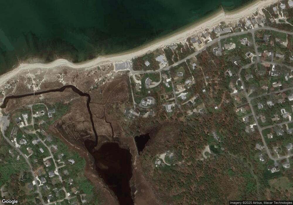
Map
Nearby Homes
- 240 Robbins Hill Rd
- 20 Spring Ln
- 53 Brier Ln
- 13 Sand Dollar Ln
- 13 Sand Dollar Ln Unit 20
- 11 Juniper Cir
- 11 Juniper Cir Unit 11
- 18 Juniper Cir Unit 18
- 1580 Main St
- 9 Cockle Way Unit 9
- 0 Ridgewood Dr
- 1861 Main St
- 279 Alden Dr
- 117 A p Newcomb Rd
- 309 Great Fields Rd
- 31 Hazel Ln
- 98 Leland Rd
- 0 Canoe Pond Dr
- 80 Abby Rd
- 186 Canoe Pond Dr
- 45 Warrens Rd
- 345 Robbins Hill Rd
- 26 Arnolds Cartway
- 371 Robbins Hill Rd
- 36 Arnolds Cartway
- 36 Arnold's Cartway
- 373 Robbins Hill Rd
- 375 Robbins Hill Rd
- 42 Warrens Rd
- 341 Robbins Hill Rd
- 21 Arnold's Cartway
- 21 Arnolds Cartway
- 354 Robbins Hill Rd
- 31 Arnolds Cartway
- 319 Robbins Hill Rd
- 9 Arnolds Cartway
- 43 Arnolds Cartway
- 317 Robbins Hill Rd
- 336 Robbins Hill Rd
- 58 Arnolds Cartway
Your Personal Tour Guide
Ask me questions while you tour the home.