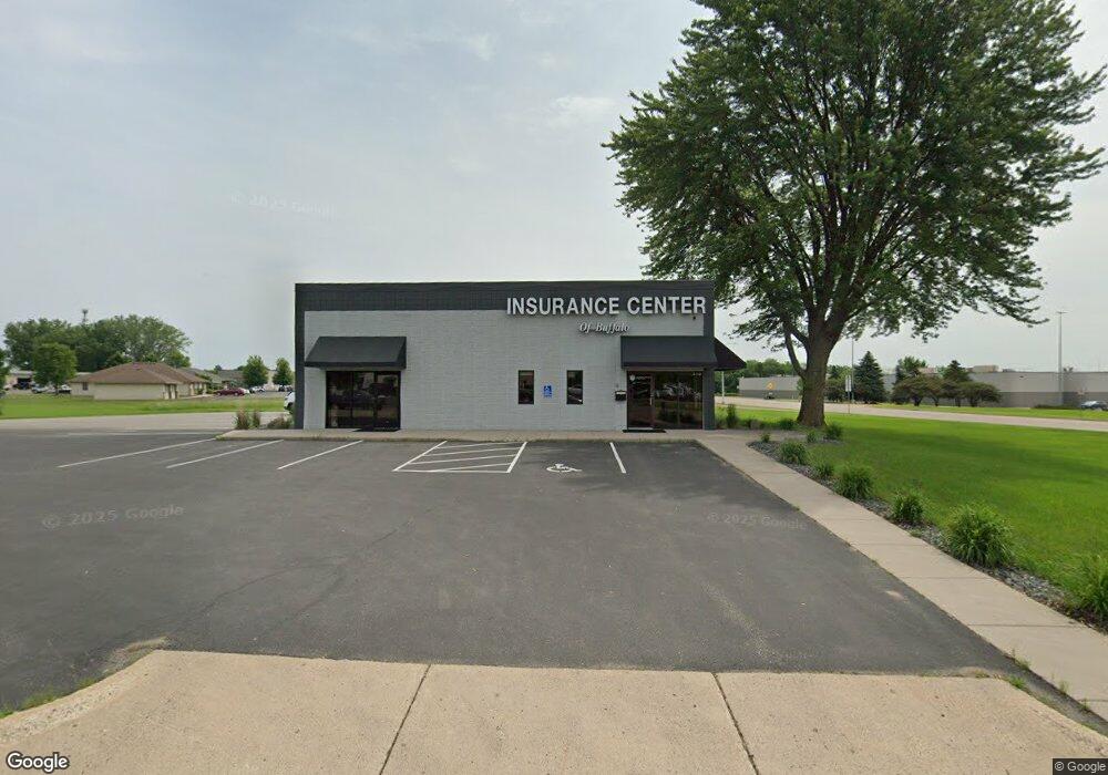
310 10th Ave S Buffalo, MN 55313
Estimated Value: $387,986
--
Bed
--
Bath
3,952
Sq Ft
$98/Sq Ft
Est. Value
About This Home
This home is located at 310 10th Ave S, Buffalo, MN 55313 and is currently priced at $387,986, approximately $98 per square foot. 310 10th Ave S is a home located in Wright County with nearby schools including Parkside Elementary School, Buffalo Community Middle School, and Buffalo Senior High School.
Ownership History
Date
Name
Owned For
Owner Type
Purchase Details
Closed on
Apr 20, 2016
Sold by
Laplant William William
Bought by
Diorio James James
Current Estimated Value
Purchase Details
Closed on
Oct 3, 2014
Sold by
Laplant William J and Laplant Arlys Y
Bought by
Diorio James W
Purchase Details
Closed on
Jan 15, 2002
Sold by
Wright Way Graphics Inc
Bought by
Larant Judith R and Larant Dang J
Purchase Details
Closed on
Jul 23, 1998
Sold by
Rocklin Vonda M
Bought by
Laplant Douglas J
Create a Home Valuation Report for This Property
The Home Valuation Report is an in-depth analysis detailing your home's value as well as a comparison with similar homes in the area
Home Values in the Area
Average Home Value in this Area
Purchase History
| Date | Buyer | Sale Price | Title Company |
|---|---|---|---|
| Diorio James James | $300,000 | -- | |
| Diorio James W | $300,000 | -- | |
| Larant Judith R | $185,000 | -- | |
| Laplant Douglas J | $185,000 | -- |
Source: Public Records
Tax History Compared to Growth
Tax History
| Year | Tax Paid | Tax Assessment Tax Assessment Total Assessment is a certain percentage of the fair market value that is determined by local assessors to be the total taxable value of land and additions on the property. | Land | Improvement |
|---|---|---|---|---|
| 2025 | $21,012 | $766,500 | $471,700 | $294,800 |
| 2024 | $18,056 | $766,500 | $471,700 | $294,800 |
| 2023 | $15,164 | $694,500 | $426,500 | $268,000 |
| 2022 | $15,826 | $550,500 | $326,700 | $223,800 |
| 2021 | $15,934 | $507,000 | $283,200 | $223,800 |
| 2020 | $15,898 | $507,000 | $283,200 | $223,800 |
| 2019 | $15,876 | $487,400 | $0 | $0 |
| 2018 | $14,782 | $487,400 | $0 | $0 |
| 2017 | $10,854 | $454,500 | $0 | $0 |
| 2016 | $12,324 | $0 | $0 | $0 |
| 2015 | $13,110 | $0 | $0 | $0 |
| 2014 | -- | $0 | $0 | $0 |
Source: Public Records
Map
Nearby Homes
- Biscayne Plan at Settlers Brook
- Courtland II Plan at Settlers Brook
- Walker Plan at Settlers Brook
- Emily Plan at Settlers Brook
- 703 Erickson Ln
- Baxter Plan at Settlers Brook
- Marquette Plan at Settlers Brook
- Berkley Plan at Settlers Brook
- Brighton Plan at Settlers Brook
- Courtland Plan at Settlers Brook
- 911 Harvest Trail
- 905 Harvest Trail
- 914 Harvest Trail
- 912 Harvest Trail
- 815 Erickson Ln
- 818 Erickson Ln
- 822 Erickson Ln
- 823 Erickson Ln
- 825 Erickson Ln
- 829 Erickson Ln
- 1305 State Highway 55 NE
- 1305 Hwy 55
- 304 Brighton Ave S
- 309 12th Ave S
- 309 12th Ave S
- 1006 3rd St S
- 526 Creekside Dr
- 1004 3rd St S
- 524 Creekside Dr
- 522 Creekside Dr
- 514 Creekside Dr
- 512 Creekside Dr
- 520 Creekside Dr
- 506 Creekside Dr
- 510 Creekside Dr
- 504 Creekside Dr
- 516 Creekside Dr
- 502 Creekside Dr
- 508 Creekside Dr
- 308 12th Ave S