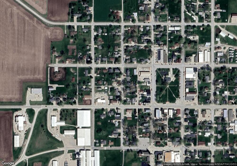
310 3rd St West Point, IA 52656
Estimated Value: $73,000 - $156,000
3
Beds
1
Bath
962
Sq Ft
$116/Sq Ft
Est. Value
About This Home
This home is located at 310 3rd St, West Point, IA 52656 and is currently estimated at $111,322, approximately $115 per square foot. 310 3rd St is a home with nearby schools including Fort Madison High School.
Ownership History
Date
Name
Owned For
Owner Type
Purchase Details
Closed on
Apr 20, 2020
Sold by
Lange John E and Lange Jean E
Bought by
Helterbran Kyle
Current Estimated Value
Home Financials for this Owner
Home Financials are based on the most recent Mortgage that was taken out on this home.
Original Mortgage
$54,501
Outstanding Balance
$48,462
Interest Rate
3.6%
Mortgage Type
New Conventional
Estimated Equity
$62,860
Purchase Details
Closed on
Sep 25, 2013
Sold by
Harvey Patrick M
Bought by
Lange John E and Lange Jean E
Home Financials for this Owner
Home Financials are based on the most recent Mortgage that was taken out on this home.
Original Mortgage
$30,175
Interest Rate
4.39%
Mortgage Type
New Conventional
Create a Home Valuation Report for This Property
The Home Valuation Report is an in-depth analysis detailing your home's value as well as a comparison with similar homes in the area
Home Values in the Area
Average Home Value in this Area
Purchase History
| Date | Buyer | Sale Price | Title Company |
|---|---|---|---|
| Helterbran Kyle | $58,125 | None Available | |
| Lange John E | $29,000 | None Available |
Source: Public Records
Mortgage History
| Date | Status | Borrower | Loan Amount |
|---|---|---|---|
| Open | Helterbran Kyle | $54,501 | |
| Previous Owner | Lange John E | $30,175 |
Source: Public Records
Tax History Compared to Growth
Tax History
| Year | Tax Paid | Tax Assessment Tax Assessment Total Assessment is a certain percentage of the fair market value that is determined by local assessors to be the total taxable value of land and additions on the property. | Land | Improvement |
|---|---|---|---|---|
| 2025 | $1,498 | $101,410 | $8,730 | $92,680 |
| 2024 | $1,498 | $84,330 | $8,730 | $75,600 |
| 2023 | $1,422 | $84,330 | $8,730 | $75,600 |
| 2022 | $1,042 | $65,640 | $8,730 | $56,910 |
| 2021 | $1,042 | $65,640 | $8,730 | $56,910 |
| 2020 | $1,026 | $61,220 | $9,250 | $51,970 |
| 2019 | $978 | $61,220 | $9,250 | $51,970 |
| 2018 | $1,008 | $57,760 | $0 | $0 |
| 2017 | $1,008 | $33,330 | $0 | $0 |
| 2016 | $556 | $33,330 | $0 | $0 |
| 2015 | $556 | $28,710 | $0 | $0 |
| 2014 | $468 | $37,940 | $0 | $0 |
Source: Public Records
Map
Nearby Homes
- 53 5th St
- 2280 Windmill Way
- 2257 Burt Rd
- 306 Franklin 5th St
- 2042 St Paul 2nd St
- 1794 150th St
- 809 Houston Ave
- 0 Blues Highway & Bluff Rd
- 2229 235th St
- 4991 Bluff Rd
- 5635 Bluff Rd
- 2078 290th Ave
- 2794 221st St
- 6119 Reve Ct
- 4601 River Bend Sub Lot 4
- 4945 Grand View Ln Unit 4945
- 2329 263rd Ave
- 00 180th St
- RR Woodland Heights Ct
- 1123 48th St Unit 20
