310 Camp Ln New Concord, OH 43762
Estimated Value: $361,000 - $509,000
3
Beds
4
Baths
3,111
Sq Ft
$140/Sq Ft
Est. Value
About This Home
This home is located at 310 Camp Ln, New Concord, OH 43762 and is currently estimated at $435,524, approximately $139 per square foot. 310 Camp Ln is a home located in Muskingum County with nearby schools including New Concord Elementary School, East Muskingum Middle School, and Larry Miller Intermediate Elementary School.
Ownership History
Date
Name
Owned For
Owner Type
Purchase Details
Closed on
Sep 27, 2010
Sold by
Luburgh Cindy L
Bought by
Walmsley Christopher S
Current Estimated Value
Home Financials for this Owner
Home Financials are based on the most recent Mortgage that was taken out on this home.
Original Mortgage
$208,000
Outstanding Balance
$137,955
Interest Rate
4.45%
Mortgage Type
New Conventional
Estimated Equity
$297,569
Purchase Details
Closed on
Sep 15, 1997
Sold by
Pinks Edward J
Bought by
Luburgh Mark A and Luburgh Cindy L
Home Financials for this Owner
Home Financials are based on the most recent Mortgage that was taken out on this home.
Original Mortgage
$131,750
Interest Rate
7.44%
Mortgage Type
New Conventional
Purchase Details
Closed on
Mar 21, 1994
Bought by
Pinks Edward J and Pinks Margaret
Create a Home Valuation Report for This Property
The Home Valuation Report is an in-depth analysis detailing your home's value as well as a comparison with similar homes in the area
Home Values in the Area
Average Home Value in this Area
Purchase History
| Date | Buyer | Sale Price | Title Company |
|---|---|---|---|
| Walmsley Christopher S | $195,000 | Attorney | |
| Luburgh Mark A | $155,000 | -- | |
| Pinks Edward J | $123,900 | -- |
Source: Public Records
Mortgage History
| Date | Status | Borrower | Loan Amount |
|---|---|---|---|
| Open | Walmsley Christopher S | $208,000 | |
| Previous Owner | Luburgh Mark A | $131,750 |
Source: Public Records
Tax History Compared to Growth
Tax History
| Year | Tax Paid | Tax Assessment Tax Assessment Total Assessment is a certain percentage of the fair market value that is determined by local assessors to be the total taxable value of land and additions on the property. | Land | Improvement |
|---|---|---|---|---|
| 2024 | $3,829 | $115,325 | $12,390 | $102,935 |
| 2023 | $2,876 | $80,885 | $7,455 | $73,430 |
| 2022 | $2,815 | $80,885 | $7,455 | $73,430 |
| 2021 | $2,781 | $80,885 | $7,455 | $73,430 |
| 2020 | $2,392 | $67,375 | $6,195 | $61,180 |
| 2019 | $2,380 | $67,375 | $6,195 | $61,180 |
| 2018 | $2,431 | $67,375 | $6,195 | $61,180 |
| 2017 | $2,253 | $60,550 | $6,230 | $54,320 |
| 2016 | $2,256 | $60,550 | $6,230 | $54,320 |
| 2015 | $2,308 | $60,550 | $6,230 | $54,320 |
| 2013 | $2,442 | $60,550 | $6,230 | $54,320 |
Source: Public Records
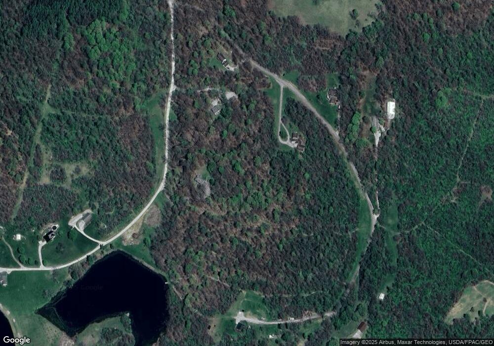
Map
Nearby Homes
- 225 Homestead Dr
- 0 Maple Ln
- 112 Thompson Ave
- 10545 Main St
- 760 Friendship Dr
- 154 Montgomery Blvd
- 930 Friendship Dr
- 8 E Main St
- 1165 Friendship Dr
- 67 E Main St
- 53 Paden Rd
- 12985 John Glenn School Rd
- 100 Linvale Dr
- 60936 Patch Rd
- 2895 N Moose Eye Rd
- 1420 Glenn Hwy
- 515 Norwich Valley Rd
- 1705 S Cove Ln
- 2043 Southern Rd
- 210 Camp Ln
- 365 Camp Ln
- 185 Homestead Dr
- 0 Camp Ln
- 270 Homestead Dr
- 375 Camp Ln
- 320 Homestead Dr
- 415 Homestead Dr
- 397 Camp Ln
- 395 Camp Ln
- 400 Camp Ln
- 12120 Chuck Ln
- 12080 East Pike
- 12125 Chuck Ln
- 12110 Chuck Ln
- 0 East Pike Unit 309081
- 0 East Pike Unit 8906009
- 0 E Wheeling Rd Unit 8906110
- 11845 East Pike
- 645 Rix Mills Rd