310 Cutoff Rd Twin Bridges, MT 59754
Estimated Value: $244,000 - $537,000
2
Beds
1
Bath
952
Sq Ft
$354/Sq Ft
Est. Value
About This Home
This home is located at 310 Cutoff Rd, Twin Bridges, MT 59754 and is currently estimated at $336,650, approximately $353 per square foot. 310 Cutoff Rd is a home with nearby schools including Twin Bridges Elementary School, Twin Bridges Junior High School, and Twin Bridges High School.
Ownership History
Date
Name
Owned For
Owner Type
Purchase Details
Closed on
Jan 4, 2021
Sold by
Broksle Christopher
Bought by
Donnel James J and Donnel Nina R
Current Estimated Value
Purchase Details
Closed on
May 6, 2013
Sold by
Gilstrap Allen G and Gilstrap Allen Gerald
Bought by
Broksle Hristopher
Home Financials for this Owner
Home Financials are based on the most recent Mortgage that was taken out on this home.
Original Mortgage
$77,330
Interest Rate
3.41%
Mortgage Type
FHA
Create a Home Valuation Report for This Property
The Home Valuation Report is an in-depth analysis detailing your home's value as well as a comparison with similar homes in the area
Home Values in the Area
Average Home Value in this Area
Purchase History
| Date | Buyer | Sale Price | Title Company |
|---|---|---|---|
| Donnel James J | -- | First American Title | |
| Broksle Hristopher | -- | First American Title Company |
Source: Public Records
Mortgage History
| Date | Status | Borrower | Loan Amount |
|---|---|---|---|
| Previous Owner | Broksle Hristopher | $77,330 |
Source: Public Records
Tax History Compared to Growth
Tax History
| Year | Tax Paid | Tax Assessment Tax Assessment Total Assessment is a certain percentage of the fair market value that is determined by local assessors to be the total taxable value of land and additions on the property. | Land | Improvement |
|---|---|---|---|---|
| 2025 | $1,434 | $279,100 | $0 | $0 |
| 2024 | $1,969 | $224,500 | $0 | $0 |
| 2023 | $2,119 | $224,500 | $0 | $0 |
| 2022 | $1,603 | $151,000 | $0 | $0 |
| 2021 | $1,366 | $151,000 | $0 | $0 |
| 2020 | $1,166 | $109,300 | $0 | $0 |
| 2019 | $1,123 | $109,300 | $0 | $0 |
| 2018 | $1,083 | $102,500 | $0 | $0 |
| 2017 | $1,064 | $102,500 | $0 | $0 |
| 2016 | $1,044 | $99,600 | $0 | $0 |
| 2015 | $1,057 | $99,600 | $0 | $0 |
| 2014 | $853 | $43,142 | $0 | $0 |
Source: Public Records
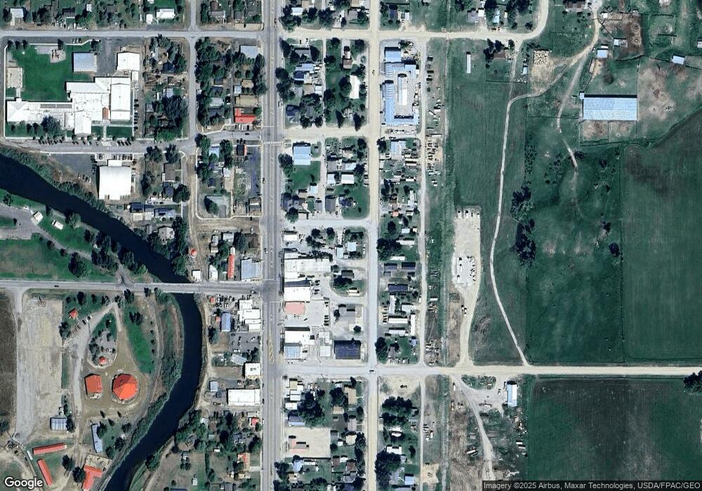
Map
Nearby Homes
- 514 N Main St
- 203 W 10th Ave
- 326 S Main St
- 38 Sundust Ln
- TBD Lewis Ln
- TBD Davis Ln
- 268 Davis Ln
- 2 Mandolynne Ln
- Lot 47 Gypsum Way
- 30 Fool's Gold Ln
- 94 Wisconsin Creek Rd W
- TBD Middle Rd
- 47 Tobacco Root Rd
- TBD Parcel2B W Baker Ln
- 3404 Mt Highway 287
- 3404 Montana 287
- 318 Water St
- 204 Boundary St
- 210 W Hamilton St
- 206 Ruby St
- 103 N Madison St
- 22 Tuke Ln
- 201 N Madison St
- 312 N Madison St
- 318 N Madison St
- 108 N Main St
- 206 N Madison St
- 111 N Madison St
- 106 N Madison St
- 104 E 5th St
- 205 N Madison St
- 104 N Main St
- 104 E 5th Ave
- 102 N Main St
- 210 N Madison St
- 161 Montana 41
- 209 N Madison St
- NHN Tidal Wave 1674 Rd
- 212 N Madison St
- 102 W 4th Ave