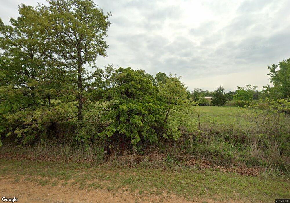
310 Dusty Rd McLoud, OK 74851
Estimated Value: $163,000 - $209,000
3
Beds
2
Baths
1,304
Sq Ft
$147/Sq Ft
Est. Value
About This Home
This home is located at 310 Dusty Rd, McLoud, OK 74851 and is currently estimated at $191,958, approximately $147 per square foot. 310 Dusty Rd is a home located in Pottawatomie County with nearby schools including McLoud Elementary School, McLoud Intermediate School, and McLoud Junior High School.
Ownership History
Date
Name
Owned For
Owner Type
Purchase Details
Closed on
Sep 21, 2020
Sold by
Keel Brandi
Bought by
Warden Victoria A
Current Estimated Value
Home Financials for this Owner
Home Financials are based on the most recent Mortgage that was taken out on this home.
Original Mortgage
$122,735
Outstanding Balance
$108,423
Interest Rate
2.9%
Mortgage Type
FHA
Estimated Equity
$83,535
Purchase Details
Closed on
Mar 23, 2007
Sold by
Elliott Wesley D and Elliott Sabrina R
Bought by
Quigley Billy Bruce and Quigley Cris Anne
Home Financials for this Owner
Home Financials are based on the most recent Mortgage that was taken out on this home.
Original Mortgage
$68,000
Interest Rate
6.3%
Mortgage Type
Purchase Money Mortgage
Purchase Details
Closed on
Aug 31, 2006
Sold by
Panter Alice T
Bought by
Elliott Wesley D and Elliot Sabrina R
Create a Home Valuation Report for This Property
The Home Valuation Report is an in-depth analysis detailing your home's value as well as a comparison with similar homes in the area
Home Values in the Area
Average Home Value in this Area
Purchase History
| Date | Buyer | Sale Price | Title Company |
|---|---|---|---|
| Warden Victoria A | $125,000 | First American Title Ins Co | |
| Quigley Billy Bruce | $85,000 | None Available | |
| Elliott Wesley D | -- | None Available |
Source: Public Records
Mortgage History
| Date | Status | Borrower | Loan Amount |
|---|---|---|---|
| Open | Warden Victoria A | $122,735 | |
| Previous Owner | Quigley Billy Bruce | $68,000 |
Source: Public Records
Tax History Compared to Growth
Tax History
| Year | Tax Paid | Tax Assessment Tax Assessment Total Assessment is a certain percentage of the fair market value that is determined by local assessors to be the total taxable value of land and additions on the property. | Land | Improvement |
|---|---|---|---|---|
| 2025 | $1,273 | $14,525 | $3,000 | $11,525 |
| 2023 | $1,271 | $14,984 | $1,800 | $13,184 |
| 2022 | $1,289 | $14,984 | $1,800 | $13,184 |
| 2021 | $1,676 | $14,984 | $1,800 | $13,184 |
| 2020 | $768 | $9,324 | $1,800 | $7,524 |
| 2019 | $885 | $10,299 | $1,800 | $8,499 |
| 2018 | $952 | $10,426 | $1,800 | $8,626 |
| 2017 | $991 | $10,675 | $1,800 | $8,875 |
| 2016 | $861 | $10,389 | $1,800 | $8,589 |
| 2015 | $780 | $10,086 | $1,800 | $8,286 |
| 2014 | $780 | $9,794 | $1,800 | $7,994 |
Source: Public Records
Map
Nearby Homes
- TBD Elderberry Dr
- TBD Blackberry Ridge
- 13445 Juneberry Dr
- 31097 Elderberry Dr
- 13411 Huckleberry Ln
- 13441 Dewberry Rd
- 13446 Dewberry Rd
- RC Wright Plan at Blackberry Ridge
- RC Foster II Plan at Blackberry Ridge
- RC Kinsley II Plan at Blackberry Ridge
- RC Raleigh Plan at Blackberry Ridge
- RC Lowell II Plan at Blackberry Ridge
- RC Coleman Plan at Blackberry Ridge
- RC Carnegie II Plan at Blackberry Ridge
- 13366 Mulberry Cir
- 0 SE 74th St
- 0 May Addition Rd Unit 1195332
- 114 Timber Lake Dr
- 116 Connolly Dr
- 118 Connolly Dr
- 410 Dusty Rd
- 280 Dusty Rd
- 280 Dusty Rd
- 115 Dusty Rd
- 311 Dusty Rd
- 361 Dusty Rd
- 411 Dusty Rd
- 31448 Memorial Rd
- 31209 Memorial Rd
- 31202 Memorial Rd
- 31310 Memorial Rd
- 31313 Memorial Rd
- 31090 Memorial Rd
- 31207 Memorial Rd
- 31147 Memorial Rd
- 31204 Memorial Rd
- 31031 Memorial Rd
- 31191 Memorial Rd
- 4691 S Arena Rd
- 424 Rr 2
