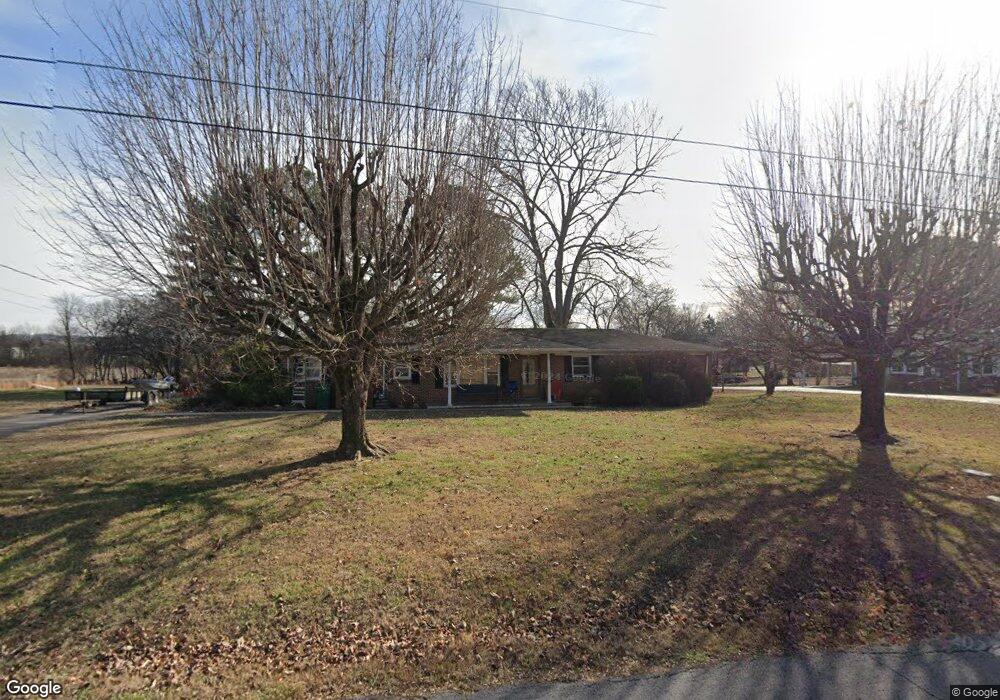
310 E Petty Ln Winchester, TN 37398
Estimated Value: $238,115 - $283,000
Studio
2
Baths
1,725
Sq Ft
$155/Sq Ft
Est. Value
About This Home
This home is located at 310 E Petty Ln, Winchester, TN 37398 and is currently estimated at $267,279, approximately $154 per square foot. 310 E Petty Ln is a home located in Franklin County with nearby schools including South Middle School, Franklin County High School, and School of the Good Shepherd.
Ownership History
Date
Name
Owned For
Owner Type
Purchase Details
Closed on
Sep 10, 1980
Bought by
Rhoton Donald Wayne
Current Estimated Value
Purchase Details
Closed on
Sep 8, 1970
Bought by
Cara Rhoton A and Cara Frances
Create a Home Valuation Report for This Property
The Home Valuation Report is an in-depth analysis detailing your home's value as well as a comparison with similar homes in the area
Home Values in the Area
Average Home Value in this Area
Purchase History
| Date | Buyer | Sale Price | Title Company |
|---|---|---|---|
| Rhoton Donald Wayne | $35,500 | -- | |
| Cara Rhoton A | -- | -- |
Source: Public Records
Tax History
| Year | Tax Paid | Tax Assessment Tax Assessment Total Assessment is a certain percentage of the fair market value that is determined by local assessors to be the total taxable value of land and additions on the property. | Land | Improvement |
|---|---|---|---|---|
| 2025 | -- | $50,425 | $3,675 | $46,750 |
| 2024 | -- | $50,425 | $3,675 | $46,750 |
| 2023 | $1,297 | $50,425 | $3,675 | $46,750 |
| 2022 | $1,271 | $50,425 | $3,675 | $46,750 |
| 2021 | $630 | $50,425 | $3,675 | $46,750 |
| 2020 | $869 | $24,600 | $2,450 | $22,150 |
| 2019 | $869 | $24,600 | $2,450 | $22,150 |
| 2018 | $819 | $24,600 | $2,450 | $22,150 |
| 2017 | $819 | $24,600 | $2,450 | $22,150 |
| 2016 | $762 | $22,875 | $2,450 | $20,425 |
| 2015 | $748 | $22,875 | $2,450 | $20,425 |
| 2014 | $746 | $22,810 | $0 | $0 |
Source: Public Records
Map
Nearby Homes
- 401 E Petty Ln
- 110 Dotson Ln
- 114 Allen Dr
- 207 Franklin Park
- 105 Lakeview Dr
- 102 Dogwood Ln
- 111 Dogwood Ln
- 120 Dogwood Ln
- 103 Dalewood Dr
- 107 Highland Dr
- 205 Mary Sharp Dr
- 119 Highland Dr
- 303 Kelly Dr
- 201 10th Ave N
- 1001 Henley St
- 0 Sharp Springs Rd Unit RTC2980057
- 405 Sharp Springs Rd
- 525 Sharp Springs Rd
- 106 5th Ave N
- 203 5th Ave N
Your Personal Tour Guide
Ask me questions while you tour the home.