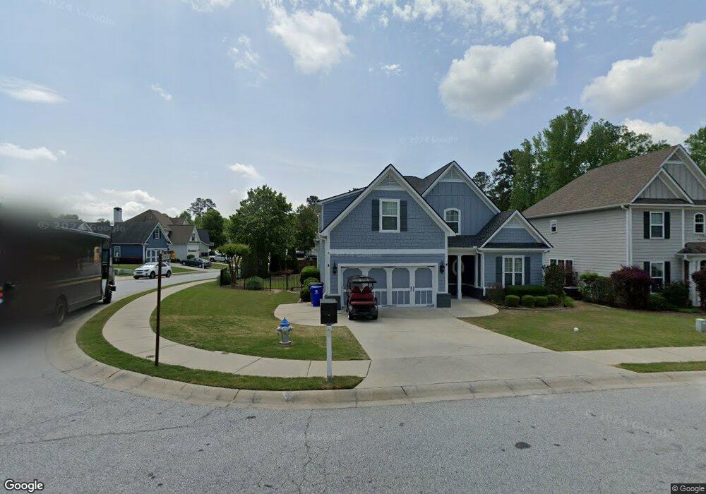
310 Evesham Ave Peachtree City, GA 30269
Estimated Value: $512,000 - $579,000
5
Beds
3
Baths
2,188
Sq Ft
$247/Sq Ft
Est. Value
About This Home
This home is located at 310 Evesham Ave, Peachtree City, GA 30269 and is currently estimated at $539,973, approximately $246 per square foot. 310 Evesham Ave is a home located in Fayette County with nearby schools including Peachtree City Elementary School, Booth Middle School, and McIntosh High School.
Ownership History
Date
Name
Owned For
Owner Type
Purchase Details
Closed on
Nov 20, 2009
Sold by
Ravin Homes Inc
Bought by
Panis Edwin D and Ybud-Panis Maria
Current Estimated Value
Home Financials for this Owner
Home Financials are based on the most recent Mortgage that was taken out on this home.
Original Mortgage
$217,600
Outstanding Balance
$141,939
Interest Rate
4.98%
Mortgage Type
New Conventional
Estimated Equity
$398,034
Create a Home Valuation Report for This Property
The Home Valuation Report is an in-depth analysis detailing your home's value as well as a comparison with similar homes in the area
Home Values in the Area
Average Home Value in this Area
Purchase History
| Date | Buyer | Sale Price | Title Company |
|---|---|---|---|
| Panis Edwin D | $276,000 | -- |
Source: Public Records
Mortgage History
| Date | Status | Borrower | Loan Amount |
|---|---|---|---|
| Open | Panis Edwin D | $217,600 |
Source: Public Records
Tax History Compared to Growth
Tax History
| Year | Tax Paid | Tax Assessment Tax Assessment Total Assessment is a certain percentage of the fair market value that is determined by local assessors to be the total taxable value of land and additions on the property. | Land | Improvement |
|---|---|---|---|---|
| 2024 | $4,646 | $191,072 | $22,000 | $169,072 |
| 2023 | $3,984 | $171,280 | $22,000 | $149,280 |
| 2022 | $4,263 | $156,360 | $22,000 | $134,360 |
| 2021 | $4,007 | $134,960 | $22,000 | $112,960 |
| 2020 | $4,104 | $134,120 | $22,000 | $112,120 |
| 2019 | $3,978 | $128,840 | $22,000 | $106,840 |
| 2018 | $3,932 | $125,360 | $22,000 | $103,360 |
| 2017 | $3,917 | $124,080 | $22,000 | $102,080 |
| 2016 | $3,648 | $111,520 | $22,000 | $89,520 |
| 2015 | $3,525 | $106,120 | $19,600 | $86,520 |
| 2014 | $3,425 | $101,440 | $19,600 | $81,840 |
| 2013 | -- | $70,600 | $0 | $0 |
Source: Public Records
Map
Nearby Homes
- 719 Gittings Ave
- 405 Abbey Rd
- 138 Wynnmeade Pkwy
- 147 Westberry St
- 412 Constitution Cir
- 124 Kings Ridge Dr
- 169 Wynnmeade Pkwy
- 171 Wynnmeade Pkwy
- 64 Star Spangled Ln
- 107 S Fairfield Dr
- 111 S Fairfield Dr
- 22 Star Spangled Ln
- 505 N Fairfield Dr
- 713 S Fairfield Dr
- 826 Richmond Cir
- 844 Richmond Cir Unit 7
- 405 Sherrels Ford
- 637 N Fairfield Dr
- 308 Bandon Way
- 101 Eadestowne Way
- 308 Evesham Ave
- 306 Evesham Ave
- 309 Evesham Ave
- 601 Blackburn Ln
- 603 Blackburn Ln
- 0 Blackburn Ln Unit 8407218
- 0 Blackburn Ln Unit 8050470
- 0 Blackburn Ln Unit 9054637
- 0 Blackburn Ln Unit 3077766
- 0 Blackburn Ln Unit 3203954
- 0 Blackburn Ln Unit 3252103
- 0 Blackburn Ln Unit 7043826
- 605 Blackburn Ln
- 304 Evesham Ave
- 307 Evesham Ave
- 311 Evesham Ave
- 602 Blackburn Ln
- 607 Blackburn Ln
- 305 Evesham Ave
- 305 Evesham Ave Unit 186