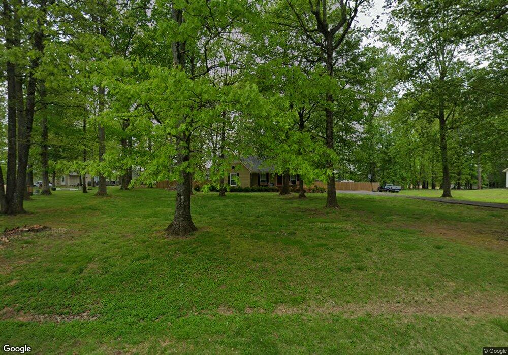
310 Forrest Ave Lawrenceburg, TN 38464
Estimated Value: $246,117 - $270,000
--
Bed
2
Baths
1,326
Sq Ft
$198/Sq Ft
Est. Value
About This Home
This home is located at 310 Forrest Ave, Lawrenceburg, TN 38464 and is currently estimated at $262,029, approximately $197 per square foot. 310 Forrest Ave is a home located in Lawrence County with nearby schools including Ingram Sowell Elementary School, Lawrenceburg Public Elementary School, and David Crockett Elementary School.
Ownership History
Date
Name
Owned For
Owner Type
Purchase Details
Closed on
Nov 6, 2013
Sold by
Howell Gwen
Bought by
Weathers Jonathan Kane
Current Estimated Value
Home Financials for this Owner
Home Financials are based on the most recent Mortgage that was taken out on this home.
Original Mortgage
$89,285
Outstanding Balance
$66,460
Interest Rate
4.26%
Mortgage Type
Commercial
Estimated Equity
$195,569
Purchase Details
Closed on
Aug 7, 2000
Sold by
Bryant William B
Bought by
Gwen Howell
Purchase Details
Closed on
Nov 27, 1987
Bought by
Bryant William B and Wife Carolyn
Create a Home Valuation Report for This Property
The Home Valuation Report is an in-depth analysis detailing your home's value as well as a comparison with similar homes in the area
Home Values in the Area
Average Home Value in this Area
Purchase History
| Date | Buyer | Sale Price | Title Company |
|---|---|---|---|
| Weathers Jonathan Kane | $85,100 | -- | |
| Gwen Howell | $75,000 | -- | |
| Bryant William B | -- | -- |
Source: Public Records
Mortgage History
| Date | Status | Borrower | Loan Amount |
|---|---|---|---|
| Open | Weathers Jonathan Kane | $89,285 |
Source: Public Records
Tax History Compared to Growth
Tax History
| Year | Tax Paid | Tax Assessment Tax Assessment Total Assessment is a certain percentage of the fair market value that is determined by local assessors to be the total taxable value of land and additions on the property. | Land | Improvement |
|---|---|---|---|---|
| 2025 | $688 | $34,200 | $0 | $0 |
| 2024 | $688 | $34,200 | $5,000 | $29,200 |
| 2023 | $688 | $34,200 | $5,000 | $29,200 |
| 2022 | $688 | $34,200 | $5,000 | $29,200 |
| 2021 | $530 | $17,900 | $3,125 | $14,775 |
| 2020 | $530 | $17,900 | $3,125 | $14,775 |
| 2019 | $530 | $17,900 | $3,125 | $14,775 |
| 2018 | $530 | $17,900 | $3,125 | $14,775 |
| 2017 | $530 | $17,900 | $3,125 | $14,775 |
| 2016 | $530 | $17,900 | $3,125 | $14,775 |
| 2015 | $490 | $17,900 | $3,125 | $14,775 |
| 2014 | $483 | $17,650 | $3,125 | $14,525 |
Source: Public Records
Map
Nearby Homes
- 206 State Ave
- 2600 Clanton Rd
- 2342 Pulaski Hwy
- 260 Wesley Chapel Rd
- 111 Grandview Dr
- 786 Hillview Dr
- 2290 Grandview Dr
- 123 Quail Dr
- 79 Bishop Rd
- 107 Pond Dr
- 33 Bishop Rd
- 1408 Baker Ln
- 1448 Baker Ln
- 1280 E Gaines St
- 1261 Brannon Rd
- 380 Lanning Rd
- 1111 Baker Ln
- 114 Hummingbird Ln
- 729 Weakley Creek Rd
- 45 Baker Ct
- 308 Forrest Ave
- 316 Edgewood Dr
- 312 Edgewood Dr
- 409 Beechwood Dr
- 407 Beechwood Dr
- 310 Edgewood Dr
- 307 Forrest Ave
- 311 Edgewood Dr
- 304 Forrest Ave
- 405 Beechwood Dr
- 305 Forrest Ave
- 210 State Ave
- 208 State Ave
- 212 State Ave
- 303 Forrest Ave
- 302 Forrest Ave
- 301 Forrest Ave
- 401 Beechwood Dr
- 209 State Ave
- 400 Edgewood Dr