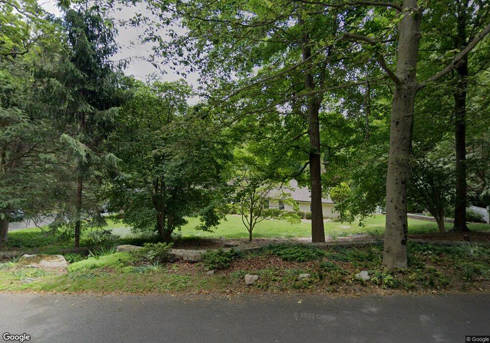
310 Hill Brook Ln Fairfield, CT 06824
Greenfield Hill NeighborhoodEstimated Value: $1,299,172 - $1,576,000
4
Beds
3
Baths
2,907
Sq Ft
$475/Sq Ft
Est. Value
About This Home
This home is located at 310 Hill Brook Ln, Fairfield, CT 06824 and is currently estimated at $1,380,793, approximately $474 per square foot. 310 Hill Brook Ln is a home located in Fairfield County with nearby schools including Dwight Elementary School, Roger Ludlowe Middle School, and Fairfield Ludlowe High School.
Ownership History
Date
Name
Owned For
Owner Type
Purchase Details
Closed on
Nov 7, 2012
Sold by
Reindel Thomas
Bought by
Reindel Thomas
Current Estimated Value
Purchase Details
Closed on
Jun 4, 2010
Sold by
Sullivan Kenneth J and Sullivan Billie J
Bought by
Peindel Thomas and Anderson Pamela
Purchase Details
Closed on
Dec 9, 1997
Sold by
Csapo Edward L Est
Bought by
Sullivan Kenneth J and Sullivan Billie J
Create a Home Valuation Report for This Property
The Home Valuation Report is an in-depth analysis detailing your home's value as well as a comparison with similar homes in the area
Home Values in the Area
Average Home Value in this Area
Purchase History
| Date | Buyer | Sale Price | Title Company |
|---|---|---|---|
| Reindel Thomas | -- | -- | |
| Reindel Thomas | -- | -- | |
| Peindel Thomas | $900,000 | -- | |
| Peindel Thomas | $900,000 | -- | |
| Sullivan Kenneth J | $325,000 | -- | |
| Sullivan Kenneth J | $325,000 | -- |
Source: Public Records
Mortgage History
| Date | Status | Borrower | Loan Amount |
|---|---|---|---|
| Previous Owner | Sullivan Kenneth J | $417,000 | |
| Previous Owner | Sullivan Kenneth J | $400,000 |
Source: Public Records
Tax History Compared to Growth
Tax History
| Year | Tax Paid | Tax Assessment Tax Assessment Total Assessment is a certain percentage of the fair market value that is determined by local assessors to be the total taxable value of land and additions on the property. | Land | Improvement |
|---|---|---|---|---|
| 2025 | $14,601 | $514,290 | $315,070 | $199,220 |
| 2024 | $14,349 | $514,290 | $315,070 | $199,220 |
| 2023 | $14,148 | $514,290 | $315,070 | $199,220 |
| 2022 | $14,009 | $514,290 | $315,070 | $199,220 |
| 2021 | $13,876 | $514,290 | $315,070 | $199,220 |
| 2020 | $17,127 | $639,310 | $397,950 | $241,360 |
| 2019 | $17,127 | $639,310 | $397,950 | $241,360 |
| 2018 | $16,852 | $639,310 | $397,950 | $241,360 |
| 2017 | $16,507 | $639,310 | $397,950 | $241,360 |
| 2016 | $16,270 | $639,310 | $397,950 | $241,360 |
| 2015 | $17,108 | $690,130 | $469,560 | $220,570 |
| 2014 | $16,839 | $690,130 | $469,560 | $220,570 |
Source: Public Records
Map
Nearby Homes
- 99 Old Academy Rd
- 25 Millspaugh Dr
- 750 Burr St
- 56 Drake Ln
- 33 Middlebrook Place
- 1165 Stillson Rd
- 1137 Stillson Rd
- 338 Orchard Hill Ln
- 1207 Stillson Rd
- 947 Galloping Hill Rd
- 66 Adams Rd
- 254 Sherwood Farm Rd
- 2107 N Benson Rd
- 2959 Congress St
- 210 Pansy Rd
- 2683 Bronson Rd
- 109 Buckboard Ln
- 706 Judd St
- 115 Mayfair Rd
- 105 Charter Oak Rd
- 261 Hill Brook Ln
- 337 Hill Brook Ln
- 243 Hill Brook Ln
- 115 Frog Pond Ln
- 241 Burr St
- 180 Hill Brook Ln
- 137 Frog Pond Ln
- 400 Hill Brook Ln
- 197 Hill Brook Ln
- 423 Hill Brook Ln
- 145 Frog Pond Ln
- 197 Burr St
- 258 Burr St
- 395 Burr St
- 116 Frog Pond Ln
- 415 Burr St
- 143 Hill Brook Ln
- 138 Hill Brook Ln
- 461 Burr St
- 300 Burr St