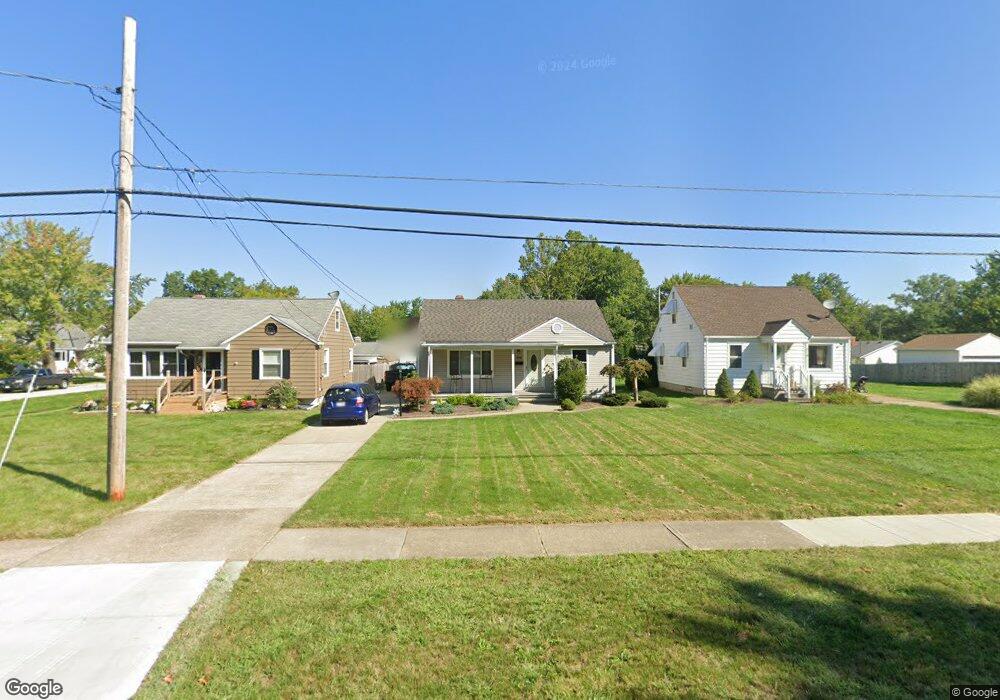
310 Hilliard Rd Elyria, OH 44035
Estimated Value: $170,000 - $194,000
3
Beds
1
Bath
1,271
Sq Ft
$141/Sq Ft
Est. Value
About This Home
This home is located at 310 Hilliard Rd, Elyria, OH 44035 and is currently estimated at $179,367, approximately $141 per square foot. 310 Hilliard Rd is a home located in Lorain County with nearby schools including Windsor Elementary School, Northwood Middle School, and Elyria High School.
Ownership History
Date
Name
Owned For
Owner Type
Purchase Details
Closed on
Dec 20, 2016
Sold by
Blaz Michael J and Blaz Joanna
Bought by
M & J Blaz Properties Llc
Current Estimated Value
Purchase Details
Closed on
Apr 4, 2000
Sold by
Cowan Lori A and Cowan Lori A
Bought by
Blaz Michael J
Home Financials for this Owner
Home Financials are based on the most recent Mortgage that was taken out on this home.
Original Mortgage
$68,300
Interest Rate
8.24%
Create a Home Valuation Report for This Property
The Home Valuation Report is an in-depth analysis detailing your home's value as well as a comparison with similar homes in the area
Home Values in the Area
Average Home Value in this Area
Purchase History
| Date | Buyer | Sale Price | Title Company |
|---|---|---|---|
| M & J Blaz Properties Llc | -- | -- | |
| Blaz Michael J | $91,000 | Guardian Title |
Source: Public Records
Mortgage History
| Date | Status | Borrower | Loan Amount |
|---|---|---|---|
| Previous Owner | Blaz Michael J | $68,300 |
Source: Public Records
Tax History
| Year | Tax Paid | Tax Assessment Tax Assessment Total Assessment is a certain percentage of the fair market value that is determined by local assessors to be the total taxable value of land and additions on the property. | Land | Improvement |
|---|---|---|---|---|
| 2024 | $2,601 | $53,652 | $9,450 | $44,202 |
| 2023 | $2,334 | $41,797 | $7,490 | $34,307 |
| 2022 | $2,326 | $41,797 | $7,490 | $34,307 |
| 2021 | $2,331 | $41,797 | $7,490 | $34,307 |
| 2020 | $2,228 | $35,540 | $6,370 | $29,170 |
| 2019 | $2,215 | $35,540 | $6,370 | $29,170 |
| 2018 | $2,219 | $35,540 | $6,370 | $29,170 |
| 2017 | $2,087 | $32,830 | $5,600 | $27,230 |
| 2016 | $2,059 | $32,830 | $5,600 | $27,230 |
| 2015 | $1,929 | $32,830 | $5,600 | $27,230 |
| 2014 | $1,905 | $32,830 | $5,600 | $27,230 |
| 2013 | $1,887 | $32,830 | $5,600 | $27,230 |
Source: Public Records
Map
Nearby Homes
- 113 Coronado Ct
- 415 Ambler Dr
- 442 Hilliard Rd
- 455 Metcalf Rd
- 965 Gulf Rd
- 118 Brandemere Ct
- 350 Beebe Ave
- 141 Elma Dr
- 513 Gulf Rd
- 234 Bellfield Ave
- 532 Wesley Ave
- 335 Abbe Rd N
- 331 Abbe Rd N
- 232 Hawthorne St
- 297 Abbe Rd N
- 718 Hartford Dr
- 154 Bellfield Ave
- 220 Windsor Dr
- 147 Bellfield Ave
- 556 Eldemire Ln