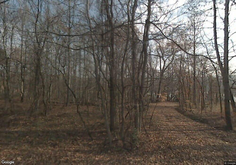
310 Island Rd Kingston, TN 37763
Estimated Value: $573,000 - $722,000
3
Beds
2
Baths
2,200
Sq Ft
$294/Sq Ft
Est. Value
About This Home
This home is located at 310 Island Rd, Kingston, TN 37763 and is currently estimated at $646,168, approximately $293 per square foot. 310 Island Rd is a home located in Roane County with nearby schools including Midway Elementary School, Kingston Elementary School, and Midtown Elementary School.
Ownership History
Date
Name
Owned For
Owner Type
Purchase Details
Closed on
Apr 17, 2012
Sold by
Lacroix Nancy E
Bought by
Loucks David C
Current Estimated Value
Home Financials for this Owner
Home Financials are based on the most recent Mortgage that was taken out on this home.
Original Mortgage
$208,800
Outstanding Balance
$145,709
Interest Rate
4.13%
Mortgage Type
Commercial
Estimated Equity
$500,459
Purchase Details
Closed on
Feb 25, 2011
Sold by
Lacroix Nancy E
Bought by
Lacroix Nancy E
Purchase Details
Closed on
Jan 10, 1977
Bought by
Lacroix Edward J and Virgi Nia M
Create a Home Valuation Report for This Property
The Home Valuation Report is an in-depth analysis detailing your home's value as well as a comparison with similar homes in the area
Home Values in the Area
Average Home Value in this Area
Purchase History
| Date | Buyer | Sale Price | Title Company |
|---|---|---|---|
| Loucks David C | $261,000 | -- | |
| Lacroix Nancy E | -- | -- | |
| Lacroix Edward J | -- | -- |
Source: Public Records
Mortgage History
| Date | Status | Borrower | Loan Amount |
|---|---|---|---|
| Open | Loucks David C | $208,800 |
Source: Public Records
Tax History Compared to Growth
Tax History
| Year | Tax Paid | Tax Assessment Tax Assessment Total Assessment is a certain percentage of the fair market value that is determined by local assessors to be the total taxable value of land and additions on the property. | Land | Improvement |
|---|---|---|---|---|
| 2024 | $2,008 | $83,675 | $43,750 | $39,925 |
| 2023 | $2,008 | $83,675 | $43,750 | $39,925 |
| 2022 | $2,008 | $83,675 | $43,750 | $39,925 |
| 2021 | $2,067 | $83,675 | $43,750 | $39,925 |
| 2020 | $2,068 | $83,675 | $43,750 | $39,925 |
| 2019 | $2,103 | $78,325 | $40,025 | $38,300 |
| 2018 | $2,017 | $78,325 | $40,025 | $38,300 |
| 2017 | $2,017 | $78,325 | $40,025 | $38,300 |
| 2016 | $1,935 | $75,150 | $40,025 | $35,125 |
| 2015 | $1,935 | $75,150 | $40,025 | $35,125 |
| 2013 | -- | $77,300 | $41,250 | $36,050 |
Source: Public Records
Map
Nearby Homes
- 105 Timberline Dr
- 134 Holly Ln
- 0 Lake Harbor Dr
- 146 Loch Haven Dr
- 0 Loch Haven Rd Unit 1296406
- 155 Pin Oak Dr
- 47 Loch Haven Dr
- 276 Pond View Dr
- 319 Pin Oak Dr
- 218 Lakescene Rd
- 178 Emerald Pointe Cir
- 113 Circle Dr
- 0 Emerald Pointe - Lot 7
- 205 Bay Shore Dr
- 0 Bay Shore Dr Unit 1309980
- 209 Appaloosa Tr
- 137 E Shore Dr
- 0 Appaloosa Unit 1318375
- 203 W Shore Dr
- 319 de Armond Rd
