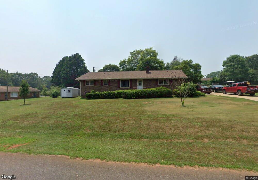
310 Meadowbrook Dr Anderson, SC 29626
Estimated Value: $195,000 - $267,000
3
Beds
2
Baths
1,293
Sq Ft
$170/Sq Ft
Est. Value
About This Home
This home is located at 310 Meadowbrook Dr, Anderson, SC 29626 and is currently estimated at $220,038, approximately $170 per square foot. 310 Meadowbrook Dr is a home located in Anderson County with nearby schools including McLees Elementary School, Robert Anderson Middle School, and Westside High School.
Ownership History
Date
Name
Owned For
Owner Type
Purchase Details
Closed on
Jul 15, 2013
Sold by
King Larry D
Bought by
King Larry D and Larry D King Trust
Current Estimated Value
Purchase Details
Closed on
Jul 20, 2011
Sold by
Estate Of Nancy Patricia King and King Larry Doyle
Bought by
King Larry D
Purchase Details
Closed on
Sep 28, 2006
Sold by
Fannie Mae
Bought by
King Larry D and King Patricia H
Home Financials for this Owner
Home Financials are based on the most recent Mortgage that was taken out on this home.
Original Mortgage
$63,000
Interest Rate
6.36%
Mortgage Type
Purchase Money Mortgage
Purchase Details
Closed on
Jun 15, 2006
Sold by
Goldsmith Windle D and South Carolina Employment Secu
Bought by
Federal National Mortgage Association
Create a Home Valuation Report for This Property
The Home Valuation Report is an in-depth analysis detailing your home's value as well as a comparison with similar homes in the area
Home Values in the Area
Average Home Value in this Area
Purchase History
| Date | Buyer | Sale Price | Title Company |
|---|---|---|---|
| King Larry D | -- | -- | |
| King Larry D | -- | -- | |
| King Larry D | -- | None Available | |
| Federal National Mortgage Association | $75,678 | None Available |
Source: Public Records
Mortgage History
| Date | Status | Borrower | Loan Amount |
|---|---|---|---|
| Previous Owner | King Larry D | $63,000 |
Source: Public Records
Tax History Compared to Growth
Tax History
| Year | Tax Paid | Tax Assessment Tax Assessment Total Assessment is a certain percentage of the fair market value that is determined by local assessors to be the total taxable value of land and additions on the property. | Land | Improvement |
|---|---|---|---|---|
| 2024 | $259 | $4,190 | $600 | $3,590 |
| 2023 | $259 | $4,190 | $600 | $3,590 |
| 2022 | $517 | $4,190 | $600 | $3,590 |
| 2021 | $467 | $3,700 | $400 | $3,300 |
| 2020 | $461 | $3,700 | $400 | $3,300 |
| 2019 | $461 | $3,700 | $400 | $3,300 |
| 2018 | $468 | $3,700 | $400 | $3,300 |
| 2017 | -- | $3,700 | $400 | $3,300 |
| 2016 | $417 | $3,490 | $300 | $3,190 |
| 2015 | $424 | $3,490 | $300 | $3,190 |
| 2014 | $419 | $5,230 | $450 | $4,780 |
Source: Public Records
Map
Nearby Homes
- 0 Cloverdale Dr
- Lot 1 Cloverdale Dr
- 0 Marshall Rd
- 104 Marsh Creek Dr
- 423 Greenmeadow Cir
- 105 Sugar Pine Rd
- 3824 Dobbins Bridge Rd
- 202 Hazelwood Ave
- 205 Hazelwood Ave Unit Lot 10 Block A
- 209 and 205 Hazelwood Ave Unit Lots 12 (209) & 10 (
- 209 Hazelwood Ave Unit Lot 12 Block A
- 2403 Dobbins Bridge Rd
- 415 Chauga Dr
- 417 Westwood Dr
- 636 Jasmin Dr
- 656 Masters Blvd
- 203 Fernwood Cir
- 410, 426,& 436 Cleveland Rd
- 00 Highway 24
- 112 Flowe Rd
- 203 Cloverdale Dr
- 205 Cloverdale Rd
- 205 Cloverdale Dr
- 309 Meadowbrook Dr
- 1213 Fairhaven Dr
- 201 Cloverdale Dr
- 311 Meadowbrook Dr
- 306 Meadowbrook Dr
- 307 Meadowbrook Dr
- 1211 Fairhaven Dr
- 122 Cloverdale Dr
- 120 Cloverdale Dr
- 304 Meadowbrook Dr
- 305 Meadowbrook Dr
- 124 Cloverdale Dr
- 118 Cloverdale Dr
- 1209 Fairhaven Dr
- 1212 Fairhaven Dr
- 1210 Fairhaven Dr
- 116 Cloverdale Dr