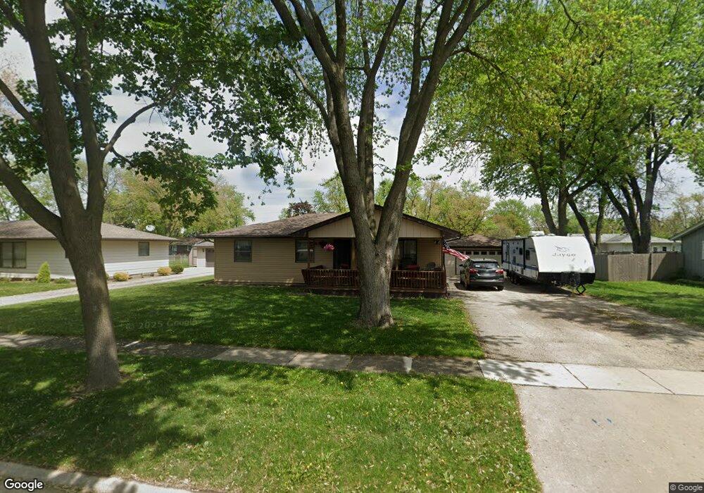
310 N Wabasso St Minooka, IL 60447
Estimated Value: $169,000 - $282,000
--
Bed
--
Bath
1,092
Sq Ft
$199/Sq Ft
Est. Value
About This Home
This home is located at 310 N Wabasso St, Minooka, IL 60447 and is currently estimated at $216,821, approximately $198 per square foot. 310 N Wabasso St is a home with nearby schools including Minooka Primary Center, Minooka Elementary School, and Minooka Junior High School.
Ownership History
Date
Name
Owned For
Owner Type
Purchase Details
Closed on
Dec 23, 2024
Sold by
Kloiber James A and Kloiber Connie C
Bought by
Bicknell Kenneth
Current Estimated Value
Home Financials for this Owner
Home Financials are based on the most recent Mortgage that was taken out on this home.
Original Mortgage
$129,600
Outstanding Balance
$128,711
Interest Rate
7.49%
Mortgage Type
New Conventional
Estimated Equity
$88,110
Create a Home Valuation Report for This Property
The Home Valuation Report is an in-depth analysis detailing your home's value as well as a comparison with similar homes in the area
Home Values in the Area
Average Home Value in this Area
Purchase History
| Date | Buyer | Sale Price | Title Company |
|---|---|---|---|
| Bicknell Kenneth | $162,000 | Fidelity National Title | |
| Bicknell Kenneth | $162,000 | Fidelity National Title |
Source: Public Records
Mortgage History
| Date | Status | Borrower | Loan Amount |
|---|---|---|---|
| Open | Bicknell Kenneth | $129,600 |
Source: Public Records
Tax History Compared to Growth
Tax History
| Year | Tax Paid | Tax Assessment Tax Assessment Total Assessment is a certain percentage of the fair market value that is determined by local assessors to be the total taxable value of land and additions on the property. | Land | Improvement |
|---|---|---|---|---|
| 2024 | $6,215 | $77,486 | $18,205 | $59,281 |
| 2023 | $5,665 | $70,628 | $16,594 | $54,034 |
| 2022 | $4,385 | $65,670 | $15,429 | $50,241 |
| 2021 | $4,168 | $62,164 | $14,605 | $47,559 |
| 2020 | $4,039 | $59,465 | $13,971 | $45,494 |
| 2019 | $2,644 | $55,060 | $12,936 | $42,124 |
| 2018 | $3,807 | $54,444 | $12,791 | $41,653 |
| 2017 | $2,766 | $51,990 | $12,214 | $39,776 |
| 2016 | $2,768 | $48,803 | $11,465 | $37,338 |
| 2015 | $2,720 | $44,363 | $10,422 | $33,941 |
| 2014 | $2,556 | $41,915 | $9,847 | $32,068 |
| 2013 | $2,635 | $42,480 | $9,980 | $32,500 |
Source: Public Records
Map
Nearby Homes
- 308 Wabasso Place
- 103 E Coady Dr
- 201 W Church St
- 405 W Mondamin St
- 101 Fieldcrest Ct
- 107 Sibley Dr
- LOT 1 Bob Blair Rd
- 303 Grande Dr Unit A
- 103 Northfield Dr
- 9015 E Mcevilly Rd
- 105 Northfield Dr
- 504 Flanagan Dr Unit A
- 401 Feeney Dr
- 25734 Hickory Ct
- 601 Edgewater Dr
- 406 Mccoy Ct
- LOT 28 O Toole Dr
- 314 Golden Rod Dr
- 23836 S Willow Ln
- 246 Prairie Ridge Dr
- 312 N Wabasso St
- 308 N Wabasso St
- 309 Wabasso Place
- 309 N Wabasso St
- 314 N Wabasso St
- 311 Wabasso Place
- 307 Wabasso Place
- 311 N Wabasso St
- 306 N Wabasso St
- 307 N Wabasso St
- 313 Wabasso Place
- 315 N Wabasso St
- 305 N Wabasso St
- 316 N Wabasso St
- 304 N Wabasso St
- 317 Wabasso Place
- 317 N Wabasso St
- 310 Wabena Ave
- 308 Wabena Ave
- 312 Wabena Ave