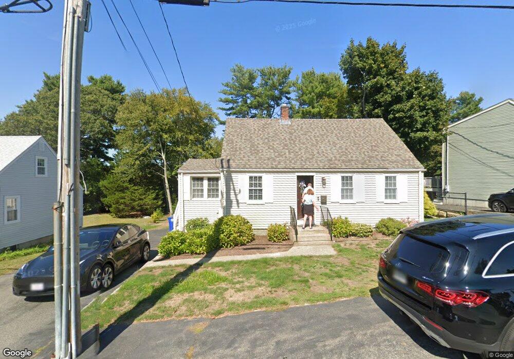
310 Plain St Braintree, MA 02184
South Braintree NeighborhoodEstimated Value: $795,000 - $1,028,000
5
Beds
4
Baths
3,552
Sq Ft
$258/Sq Ft
Est. Value
About This Home
This home is located at 310 Plain St, Braintree, MA 02184 and is currently estimated at $917,852, approximately $258 per square foot. 310 Plain St is a home located in Norfolk County with nearby schools including Braintree High School, Step Ahead Kindergarten, and First Baptist Christian School.
Ownership History
Date
Name
Owned For
Owner Type
Purchase Details
Closed on
Mar 28, 1997
Sold by
Whitehouse Nedia
Bought by
Mcdonough Paula J
Current Estimated Value
Create a Home Valuation Report for This Property
The Home Valuation Report is an in-depth analysis detailing your home's value as well as a comparison with similar homes in the area
Home Values in the Area
Average Home Value in this Area
Purchase History
| Date | Buyer | Sale Price | Title Company |
|---|---|---|---|
| Mcdonough Paula J | $142,000 | -- | |
| Mcdonough Paula J | $142,000 | -- |
Source: Public Records
Mortgage History
| Date | Status | Borrower | Loan Amount |
|---|---|---|---|
| Open | Mcdonough Paula J | $209,200 | |
| Closed | Mcdonough Paula J | $150,000 | |
| Closed | Mcdonough Paula J | $15,000 |
Source: Public Records
Tax History
| Year | Tax Paid | Tax Assessment Tax Assessment Total Assessment is a certain percentage of the fair market value that is determined by local assessors to be the total taxable value of land and additions on the property. | Land | Improvement |
|---|---|---|---|---|
| 2025 | $7,912 | $792,800 | $346,500 | $446,300 |
| 2024 | $7,171 | $756,400 | $314,600 | $441,800 |
| 2023 | $6,836 | $700,400 | $282,700 | $417,700 |
| 2022 | $6,696 | $673,000 | $255,300 | $417,700 |
| 2021 | $6,091 | $612,200 | $230,700 | $381,500 |
| 2020 | $5,829 | $591,200 | $209,700 | $381,500 |
| 2019 | $5,553 | $550,300 | $200,600 | $349,700 |
| 2018 | $5,456 | $517,600 | $182,400 | $335,200 |
| 2017 | $5,306 | $494,000 | $173,200 | $320,800 |
| 2016 | $5,218 | $475,200 | $164,100 | $311,100 |
| 2015 | $4,825 | $435,900 | $136,800 | $299,100 |
| 2014 | $4,640 | $406,300 | $131,300 | $275,000 |
Source: Public Records
Map
Nearby Homes
- 426 John Mahar Hwy Unit 311
- 426 John Mahar Hwy Unit 406
- 418 John Mahar Hwy Unit 408
- 422 John Mahar Hwy Unit 408
- 43 Grove Cir
- 564 Middle St
- 145 Hancock St Unit 307
- 145 Hancock St Unit 201
- 31 Doris Rd
- 972 Liberty St
- 6 Franklin St
- 44 Shepard Rd
- 23 Portland Rd
- 432 Grove St
- 5 Woodsum Dr Unit 12
- 501 Commerce Dr Unit 2110
- 501 Commerce Dr Unit 4308
- 15 Alida Rd
- 36 Chestnut Ave
- 1 Geraldine Ln
- 318 Plain St
- 306 Plain St
- 300 Plain St
- 324 Plain St
- 158 Congress St
- 321 Plain St
- 321 Plain St Unit 321
- 166 Congress St
- 150 Congress St
- 330 Plain St
- 292 Plain St
- 174 Congress St
- 337 Plain St
- 331 Plain St
- 16 Bregoli Ln
- 336 Plain St
- 5 Bregoli Ln
- 142 Congress St
- 0 Bregoli Ln Lot 4 Unit 71661061
- 0 Bregoli Ln Lot 6 Unit 71661069
Your Personal Tour Guide
Ask me questions while you tour the home.