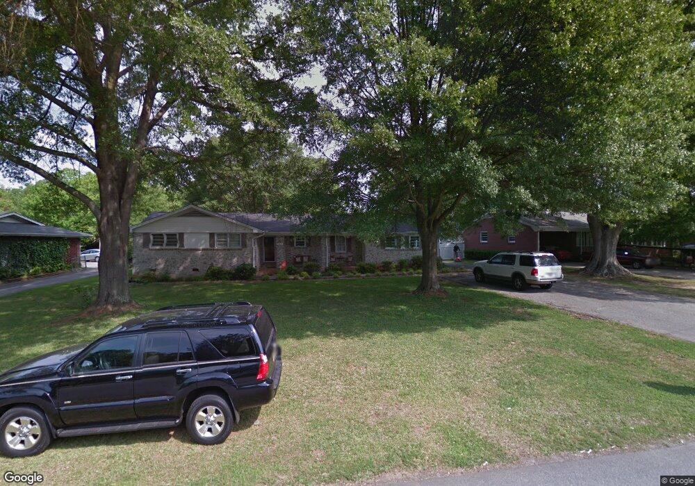
310 Rosewood Cir Mauldin, SC 29662
Estimated Value: $215,000 - $274,000
3
Beds
2
Baths
2,300
Sq Ft
$103/Sq Ft
Est. Value
About This Home
This home is located at 310 Rosewood Cir, Mauldin, SC 29662 and is currently estimated at $235,841, approximately $102 per square foot. 310 Rosewood Cir is a home located in Greenville County with nearby schools including Greenbrier Elementary School, Mauldin Middle School, and Mauldin High School.
Ownership History
Date
Name
Owned For
Owner Type
Purchase Details
Closed on
Nov 15, 2013
Sold by
Cook Weldon
Bought by
Lemanski David Edward
Current Estimated Value
Purchase Details
Closed on
Sep 27, 2012
Sold by
Sllc Garrett Propertie
Bought by
Cook Weldon
Purchase Details
Closed on
Sep 26, 2012
Sold by
Wells Fargo Bankn A
Bought by
Garrett Properties Llc
Purchase Details
Closed on
May 14, 2012
Sold by
Taines Jo Ann T and Raines Kayla
Bought by
Wells Fargo Bank Na
Purchase Details
Closed on
Nov 28, 2007
Sold by
Raines Joann T
Bought by
Raines Kayla
Purchase Details
Closed on
Feb 6, 2006
Sold by
Raines Joann T
Bought by
Raines Joann T
Create a Home Valuation Report for This Property
The Home Valuation Report is an in-depth analysis detailing your home's value as well as a comparison with similar homes in the area
Home Values in the Area
Average Home Value in this Area
Purchase History
| Date | Buyer | Sale Price | Title Company |
|---|---|---|---|
| Lemanski David Edward | $88,359 | -- | |
| Cook Weldon | $70,000 | -- | |
| Garrett Properties Llc | $65,000 | -- | |
| Wells Fargo Bank Na | $60,000 | -- | |
| Raines Kayla | -- | None Available | |
| Raines Joann T | -- | None Available |
Source: Public Records
Tax History Compared to Growth
Tax History
| Year | Tax Paid | Tax Assessment Tax Assessment Total Assessment is a certain percentage of the fair market value that is determined by local assessors to be the total taxable value of land and additions on the property. | Land | Improvement |
|---|---|---|---|---|
| 2024 | $774 | $4,180 | $860 | $3,320 |
| 2023 | $774 | $4,180 | $860 | $3,320 |
| 2022 | $730 | $4,180 | $860 | $3,320 |
| 2021 | $730 | $4,180 | $860 | $3,320 |
| 2020 | $680 | $3,630 | $860 | $2,770 |
| 2019 | $680 | $3,630 | $860 | $2,770 |
| 2018 | $679 | $3,630 | $860 | $2,770 |
| 2017 | $679 | $3,630 | $860 | $2,770 |
| 2016 | $647 | $90,770 | $21,500 | $69,270 |
| 2015 | $647 | $90,770 | $21,500 | $69,270 |
| 2014 | $687 | $97,230 | $21,500 | $75,730 |
Source: Public Records
Map
Nearby Homes
- 302 Rosewood Cir
- 315 Rosewood Cir
- 301 Crestwood Dr
- 511 Fagin Cir
- 113 Carlton Dr
- 66 Sikes Cir
- 327 Nantallah Trail
- 309 Garrett St
- 108 Pinehurst Dr
- 220 Horse Tack Trail
- 101 Lawnfield St
- 310 Ashmore Bridge Rd
- 20 Golden Apple Trail
- 252 Santorini Way
- 240 Santorini Way
- 242 Santorini Way
- 254 Santorini Way
- 17 Golden Apple Trail
- 202 N Main St
- 147 Trailside Ln
- 308 Rosewood Cir
- 312 Rosewood Cir
- 306 Rosewood Cir
- 309 Maple Dr
- 314 Rosewood Cir
- 307 Maple Dr
- 311 Rosewood Cir
- 311 Maple Dr
- 304 Rosewood Cir
- 305 Maple Dr
- 309 Rosewood Cir
- 339 Pinehurst Dr
- 313 Maple Dr
- 307 Rosewood Cir
- 318 Pinehurst Dr
- 303 Maple Dr
- 317 Rosewood Cir Unit 317 Rosewood Circle
- 337 Pinehurst Dr
- 305 Rosewood Cir