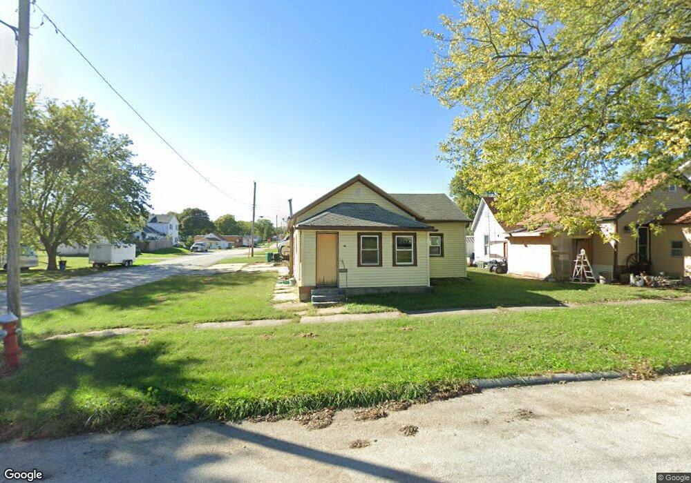
310 S Maple St Creston, IA 50801
Estimated Value: $60,514 - $132,000
3
Beds
1
Bath
1,114
Sq Ft
$76/Sq Ft
Est. Value
About This Home
This home is located at 310 S Maple St, Creston, IA 50801 and is currently estimated at $84,879, approximately $76 per square foot. 310 S Maple St is a home located in Union County with nearby schools including Creston Early Childhood Center, Creston Elementary School, and Creston Middle School.
Ownership History
Date
Name
Owned For
Owner Type
Purchase Details
Closed on
Oct 6, 2021
Sold by
Auten Jr Orval J and Auten Stephanie
Bought by
Scarberry Kiki and Scarberry Daniel
Current Estimated Value
Home Financials for this Owner
Home Financials are based on the most recent Mortgage that was taken out on this home.
Original Mortgage
$31,092
Outstanding Balance
$28,353
Interest Rate
2.8%
Mortgage Type
New Conventional
Estimated Equity
$56,526
Purchase Details
Closed on
Dec 12, 2012
Sold by
Auten Gay Anne
Bought by
Auten Orval J
Create a Home Valuation Report for This Property
The Home Valuation Report is an in-depth analysis detailing your home's value as well as a comparison with similar homes in the area
Home Values in the Area
Average Home Value in this Area
Purchase History
| Date | Buyer | Sale Price | Title Company |
|---|---|---|---|
| Scarberry Kiki | $29,000 | None Listed On Document | |
| Auten Orval J | -- | None Available |
Source: Public Records
Mortgage History
| Date | Status | Borrower | Loan Amount |
|---|---|---|---|
| Open | Scarberry Kiki | $31,092 |
Source: Public Records
Tax History
| Year | Tax Paid | Tax Assessment Tax Assessment Total Assessment is a certain percentage of the fair market value that is determined by local assessors to be the total taxable value of land and additions on the property. | Land | Improvement |
|---|---|---|---|---|
| 2025 | $644 | $29,630 | $5,460 | $24,170 |
| 2024 | $644 | $34,580 | $5,460 | $29,120 |
| 2023 | $1,366 | $43,200 | $8,990 | $34,210 |
| 2022 | $1,354 | $56,580 | $8,990 | $47,590 |
| 2021 | $1,354 | $52,880 | $8,400 | $44,480 |
| 2020 | $1,312 | $52,930 | $5,830 | $47,100 |
| 2019 | $1,336 | $52,930 | $0 | $0 |
| 2018 | $1,276 | $52,930 | $0 | $0 |
| 2017 | $1,276 | $52,930 | $0 | $0 |
| 2016 | $1,272 | $52,930 | $0 | $0 |
| 2015 | $1,272 | $48,560 | $0 | $0 |
| 2014 | $1,198 | $48,560 | $0 | $0 |
Source: Public Records
Map
Nearby Homes
- 408 S Elm St
- 305 S Birch St
- 606 S Elm St
- 405 S Vine St
- 419 New York Ave
- 600 W Adams St Unit B South Side
- 102 N Sycamore St
- 602 W Montgomery St
- 303 W Mills St
- 302 N Elm St
- 609 W Montgomery St
- 304 N Birch St
- 310 N Walnut St
- 305 N Sycamore St
- 208 N Cherry St
- 307 N Birch St
- 1109 W Mills St
- 807 W Adams St
- 507 W Howard St
- 103 N Sumner Ave
Your Personal Tour Guide
Ask me questions while you tour the home.