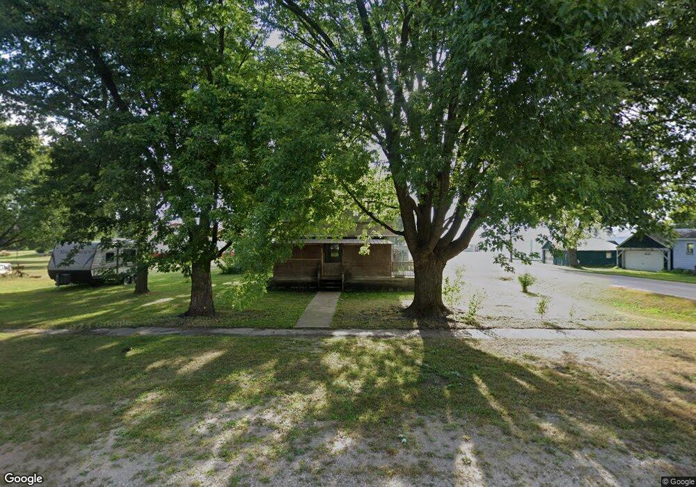
310 S State St Terril, IA 51364
Estimated Value: $57,783 - $131,000
3
Beds
1
Bath
1,716
Sq Ft
$56/Sq Ft
Est. Value
About This Home
This home is located at 310 S State St, Terril, IA 51364 and is currently estimated at $95,696, approximately $55 per square foot. 310 S State St is a home located in Dickinson County with nearby schools including Graettinger-Terril Elementary School, Graettinger-Terril High School, and Graettinger-Terril Middle School.
Ownership History
Date
Name
Owned For
Owner Type
Purchase Details
Closed on
Nov 24, 2023
Sold by
Fitzgerald Tracy A and Fitzgerald Travis
Bought by
Denvers Of Milford Inc
Current Estimated Value
Purchase Details
Closed on
Feb 17, 2023
Sold by
Liberman Margaret A
Bought by
Fitzgerald Tracy A and Wright Kelly J
Purchase Details
Closed on
Jun 11, 2013
Sold by
Nielsen Larry T and Nielsen Kay D
Bought by
Libertman Margaret
Create a Home Valuation Report for This Property
The Home Valuation Report is an in-depth analysis detailing your home's value as well as a comparison with similar homes in the area
Home Values in the Area
Average Home Value in this Area
Purchase History
| Date | Buyer | Sale Price | Title Company |
|---|---|---|---|
| Denvers Of Milford Inc | $18,000 | None Listed On Document | |
| Fitzgerald Tracy A | -- | -- | |
| Libertman Margaret | $15,000 | None Available |
Source: Public Records
Tax History Compared to Growth
Tax History
| Year | Tax Paid | Tax Assessment Tax Assessment Total Assessment is a certain percentage of the fair market value that is determined by local assessors to be the total taxable value of land and additions on the property. | Land | Improvement |
|---|---|---|---|---|
| 2025 | $444 | $41,800 | $6,200 | $35,600 |
| 2024 | $444 | $33,000 | $5,100 | $27,900 |
| 2023 | $596 | $57,200 | $5,100 | $52,100 |
| 2022 | $578 | $46,600 | $2,800 | $43,800 |
| 2021 | $578 | $46,600 | $2,800 | $43,800 |
| 2020 | $456 | $40,300 | $2,600 | $37,700 |
| 2019 | $300 | $40,300 | $2,600 | $37,700 |
| 2018 | $300 | $40,500 | $2,200 | $38,300 |
| 2017 | $300 | $40,500 | $2,200 | $38,300 |
| 2016 | $298 | $40,500 | $2,200 | $38,300 |
| 2015 | $294 | $40,500 | $2,200 | $38,300 |
| 2014 | $306 | $42,600 | $2,700 | $39,900 |
| 2013 | $286 | $42,600 | $2,700 | $39,900 |
Source: Public Records
Map
Nearby Homes
- 203 S 1st St
- 1915 350th Ave
- 1858 260th Ave
- 3559 180th St
- 1301 Wood Duck Rd
- 14 Helen Ave
- 16 Helen Ave
- 20 Helen Ave
- 25329 182nd St
- 25490 182nd St
- 0 Hill Dr
- 17227 Lakewood Dr
- 25807 169th St
- 20540 232nd Ave
- 25192 182nd St
- 16933 256th Ave
- 16901 256th Ave
- 1102 Oak Hill Rd
- 1213 Lower Loop
- 290 240th Ave Unit 104