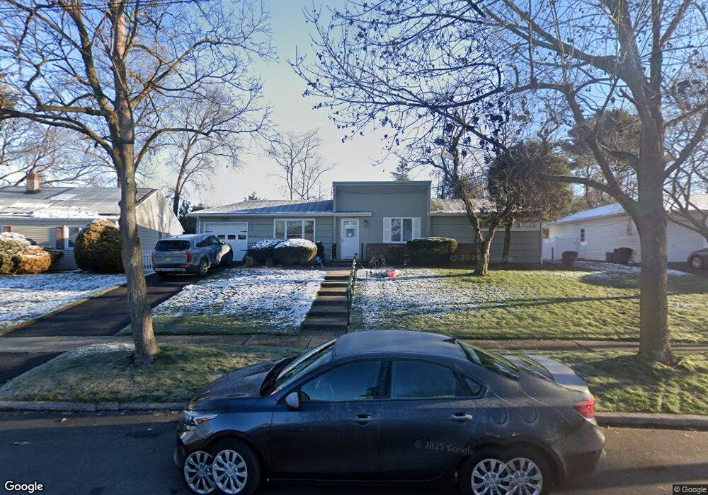
310 Taft Rd River Edge, NJ 07661
Estimated Value: $823,000 - $933,000
Studio
--
Bath
1,688
Sq Ft
$520/Sq Ft
Est. Value
About This Home
This home is located at 310 Taft Rd, River Edge, NJ 07661 and is currently estimated at $877,446, approximately $519 per square foot. 310 Taft Rd is a home located in Bergen County with nearby schools including Cherry Hill School, River Dell Middle School, and River Dell Regional High School.
Ownership History
Date
Name
Owned For
Owner Type
Purchase Details
Closed on
Dec 11, 2015
Sold by
Regas Jason and Regas Lindsay Vanzanten
Bought by
Lenihan Brendan and Lenihan Tammy
Current Estimated Value
Home Financials for this Owner
Home Financials are based on the most recent Mortgage that was taken out on this home.
Original Mortgage
$384,000
Outstanding Balance
$304,888
Interest Rate
3.99%
Mortgage Type
New Conventional
Estimated Equity
$572,558
Purchase Details
Closed on
Feb 8, 2010
Sold by
Fishman Gloria
Bought by
Regas Jason and Vanzanten Regas Lindsay
Home Financials for this Owner
Home Financials are based on the most recent Mortgage that was taken out on this home.
Original Mortgage
$395,100
Interest Rate
5.17%
Mortgage Type
Purchase Money Mortgage
Purchase Details
Closed on
Jan 9, 1998
Sold by
Fishman Myer and Fishman Gloria
Bought by
Fishman Gloria
Create a Home Valuation Report for This Property
The Home Valuation Report is an in-depth analysis detailing your home's value as well as a comparison with similar homes in the area
Home Values in the Area
Average Home Value in this Area
Purchase History
| Date | Buyer | Sale Price | Title Company |
|---|---|---|---|
| Lenihan Brendan | $480,000 | Attorney | |
| Regas Jason | $439,000 | -- | |
| Fishman Gloria | -- | -- |
Source: Public Records
Mortgage History
| Date | Status | Borrower | Loan Amount |
|---|---|---|---|
| Open | Lenihan Brendan | $384,000 | |
| Previous Owner | Regas Jason | $395,100 |
Source: Public Records
Tax History
| Year | Tax Paid | Tax Assessment Tax Assessment Total Assessment is a certain percentage of the fair market value that is determined by local assessors to be the total taxable value of land and additions on the property. | Land | Improvement |
|---|---|---|---|---|
| 2025 | $15,808 | $640,200 | $387,400 | $252,800 |
| 2024 | $15,414 | $398,700 | $240,000 | $158,700 |
| 2023 | $14,752 | $398,700 | $240,000 | $158,700 |
| 2022 | $14,752 | $398,700 | $240,000 | $158,700 |
| 2021 | $14,428 | $398,700 | $240,000 | $158,700 |
| 2020 | $14,234 | $398,700 | $240,000 | $158,700 |
| 2019 | $13,827 | $398,700 | $240,000 | $158,700 |
| 2018 | $13,536 | $398,700 | $240,000 | $158,700 |
| 2017 | $13,404 | $398,700 | $240,000 | $158,700 |
| 2016 | $13,101 | $398,700 | $240,000 | $158,700 |
| 2015 | $12,826 | $398,700 | $240,000 | $158,700 |
| 2014 | $12,850 | $398,700 | $240,000 | $158,700 |
Source: Public Records
Map
Nearby Homes
- 302 Howland Ave
- 374 Valley Rd
- 81 Eastbrook Dr
- 405 Valley Rd
- 457 the Fenway
- 175 Valley Rd
- 12 Gainesborough Terrace Unit 1B
- 16 Coles Ct
- 255 Bogert Rd Unit 2A
- 122 Village Cir E
- 409 Windsor Rd
- 127 Village Cir E
- 56 Lilac Ln
- 378 Windsor Rd
- 42 Howland Ave
- 406 Kinderkamack Rd
- 239 Greenway Terrace
- 187 Brookfield Ave
- 189 Forest Ave Unit 117
- 189 Forest Ave Unit 409
Your Personal Tour Guide
Ask me questions while you tour the home.