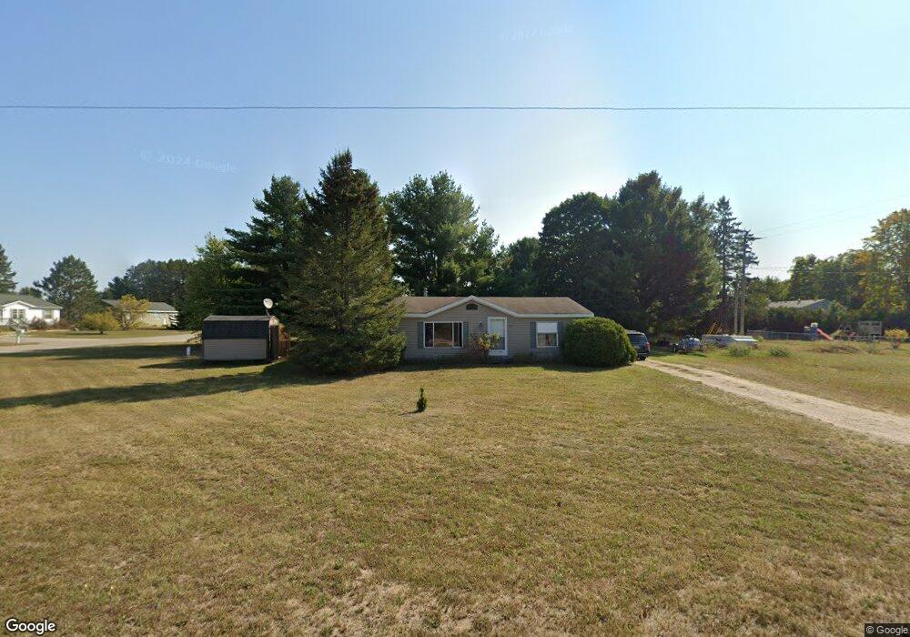
310 Tindle Rd Pellston, MI 49769
Estimated Value: $142,000 - $182,000
Studio
--
Bath
--
Sq Ft
15,377
Sq Ft Lot
About This Home
This home is located at 310 Tindle Rd, Pellston, MI 49769 and is currently estimated at $165,036. 310 Tindle Rd is a home located in Emmet County with nearby schools including Pellston Elementary School and Pellston Middle/High School.
Ownership History
Date
Name
Owned For
Owner Type
Purchase Details
Closed on
Aug 21, 2012
Sold by
Behrendt Bradley Alan
Bought by
Smith Kenneth J
Current Estimated Value
Home Financials for this Owner
Home Financials are based on the most recent Mortgage that was taken out on this home.
Original Mortgage
$35,087
Outstanding Balance
$5,490
Interest Rate
3.25%
Mortgage Type
FHA
Estimated Equity
$159,546
Purchase Details
Closed on
Dec 1, 2011
Sold by
Watts Tl
Bought by
Behrendt Bradley Alan
Purchase Details
Closed on
Jul 10, 1998
Sold by
Smith Jonathan C and Smith Dale
Bought by
Hill Ronald C and Hill Terri L
Create a Home Valuation Report for This Property
The Home Valuation Report is an in-depth analysis detailing your home's value as well as a comparison with similar homes in the area
Purchase History
| Date | Buyer | Sale Price | Title Company |
|---|---|---|---|
| Smith Kenneth J | $39,375 | -- | |
| Behrendt Bradley Alan | $18,000 | -- | |
| Hill Ronald C | $8,000 | -- |
Source: Public Records
Mortgage History
| Date | Status | Borrower | Loan Amount |
|---|---|---|---|
| Open | Smith Kenneth J | $35,087 |
Source: Public Records
Tax History
| Year | Tax Paid | Tax Assessment Tax Assessment Total Assessment is a certain percentage of the fair market value that is determined by local assessors to be the total taxable value of land and additions on the property. | Land | Improvement |
|---|---|---|---|---|
| 2025 | $1,154 | $52,600 | $52,600 | $0 |
| 2024 | $8 | $48,800 | $48,800 | $0 |
| 2023 | $1,076 | $46,200 | $46,200 | $0 |
| 2022 | $1,076 | $40,100 | $40,100 | $0 |
| 2021 | $1,116 | $38,000 | $38,000 | $0 |
| 2020 | $1,121 | $35,200 | $35,200 | $0 |
| 2019 | -- | $32,500 | $32,500 | $0 |
| 2018 | -- | $31,000 | $31,000 | $0 |
| 2017 | -- | $30,000 | $30,000 | $0 |
| 2016 | -- | $30,000 | $30,000 | $0 |
| 2015 | -- | $30,000 | $0 | $0 |
| 2014 | -- | $31,600 | $0 | $0 |
Source: Public Records
Map
Nearby Homes
- 6457 State St
- 6421 Airport Crossing Rd Unit 1
- 8959 Robinson Rd
- TBD Teal Rd
- 8016 Silver Strand Rd
- 11115 Douglas Lake Rd
- 4333 U S 31
- 6105 U S 31
- 10999 Koepke Rd
- 10222 W Munro Lake Dr
- 5100 N Bay Way
- 6167 Lambert Dr
- 1830 Indian Point Rd
- 6737 Honeysette Rd
- 393 Beaux Rivages Dr
- 319 Beaux Rivages Dr
- 5441 Valley Rd
- 1442 Indian Point Rd
- 1253 Walkabout Ln
- 7084 Center St
Your Personal Tour Guide
Ask me questions while you tour the home.