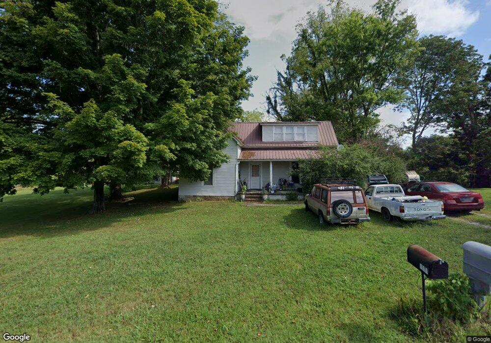
310 W Bronson St Sparta, TN 38583
Estimated Value: $141,822 - $260,000
--
Bed
1
Bath
1,841
Sq Ft
$113/Sq Ft
Est. Value
About This Home
This home is located at 310 W Bronson St, Sparta, TN 38583 and is currently estimated at $208,206, approximately $113 per square foot. 310 W Bronson St is a home located in White County with nearby schools including Woodland Park Elementary School, White County Middle School, and White County High School.
Ownership History
Date
Name
Owned For
Owner Type
Purchase Details
Closed on
Aug 20, 2001
Sold by
Wilson Zula M
Bought by
Kincer Kenneth B and Kincer Amy
Current Estimated Value
Home Financials for this Owner
Home Financials are based on the most recent Mortgage that was taken out on this home.
Original Mortgage
$54,100
Outstanding Balance
$20,668
Interest Rate
7.18%
Estimated Equity
$187,538
Purchase Details
Closed on
Apr 27, 1988
Create a Home Valuation Report for This Property
The Home Valuation Report is an in-depth analysis detailing your home's value as well as a comparison with similar homes in the area
Home Values in the Area
Average Home Value in this Area
Purchase History
| Date | Buyer | Sale Price | Title Company |
|---|---|---|---|
| Kincer Kenneth B | $53,500 | -- | |
| -- | $5,000 | -- |
Source: Public Records
Mortgage History
| Date | Status | Borrower | Loan Amount |
|---|---|---|---|
| Open | Not Available | $54,100 |
Source: Public Records
Tax History Compared to Growth
Tax History
| Year | Tax Paid | Tax Assessment Tax Assessment Total Assessment is a certain percentage of the fair market value that is determined by local assessors to be the total taxable value of land and additions on the property. | Land | Improvement |
|---|---|---|---|---|
| 2025 | -- | $35,175 | $0 | $0 |
| 2024 | -- | $20,975 | $5,000 | $15,975 |
| 2023 | $623 | $20,975 | $5,000 | $15,975 |
| 2022 | $623 | $20,975 | $5,000 | $15,975 |
| 2021 | $623 | $20,975 | $5,000 | $15,975 |
| 2020 | $623 | $20,975 | $5,000 | $15,975 |
| 2019 | $482 | $15,550 | $2,100 | $13,450 |
| 2018 | $482 | $15,550 | $2,100 | $13,450 |
| 2017 | $482 | $15,550 | $2,100 | $13,450 |
| 2016 | $482 | $15,550 | $2,100 | $13,450 |
| 2015 | $451 | $15,550 | $2,100 | $13,450 |
| 2014 | -- | $15,550 | $2,100 | $13,450 |
| 2013 | -- | $13,275 | $2,100 | $11,175 |
Source: Public Records
Map
Nearby Homes
- 301 W Everett St
- 244 W Bockman Way
- 113 N Spring St
- 21 Ac N Spring St
- 105 N Church St
- 0 Moore St
- 23 Acres Moore St
- 23 AC Moore St
- 112 N Church St
- 107 N Main St
- 18 N Church St
- 249 N Spring St
- 7 Marshall St
- 25 Mayberry St
- 210 Gillen Dr
- 202 Gillen Dr
- 560 Harley's Ridge
- 612 Harleys Ridge
- Lot 3&4 Harbor Green Place
- 0 N Main St
- 302 W Bronson St
- 311 W Bronson St
- 305 W Bronson St
- 317 W Bronson St
- 301 W Bronson St
- 321 W Bronson St
- 213 W Bronson St
- 306 W Everett St
- 308 W Everett St
- 310 W Everett St
- 310 W Everett St
- 208 W Bronson St
- 000 W Bronson St
- 300 W Everett St
- 209 W Bronson St
- 314 W Everett St
- 204 W Bronson St
- 318 W Everett St
- 311 W Everett St
- 309 W Everett St