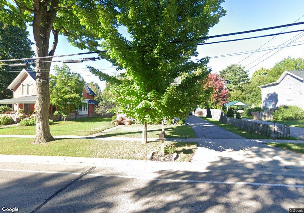
310 W Main St Dewitt, MI 48820
Estimated Value: $253,991 - $291,000
Studio
1
Bath
1,636
Sq Ft
$168/Sq Ft
Est. Value
About This Home
This home is located at 310 W Main St, Dewitt, MI 48820 and is currently estimated at $275,248, approximately $168 per square foot. 310 W Main St is a home located in Clinton County with nearby schools including Schavey Road Elementary School, Scott Elementary School, and Herbison Woods Elementary School.
Ownership History
Date
Name
Owned For
Owner Type
Purchase Details
Closed on
Aug 4, 2005
Sold by
Phillips Bradley and Koss Maureen
Bought by
Koss Maureen
Current Estimated Value
Purchase Details
Closed on
Apr 19, 2005
Sold by
Jenkins Heather and Henning Tracy J
Bought by
Phillips Bradley and Koss Maureen
Home Financials for this Owner
Home Financials are based on the most recent Mortgage that was taken out on this home.
Original Mortgage
$113,200
Interest Rate
7.19%
Mortgage Type
Fannie Mae Freddie Mac
Create a Home Valuation Report for This Property
The Home Valuation Report is an in-depth analysis detailing your home's value as well as a comparison with similar homes in the area
Home Values in the Area
Average Home Value in this Area
Purchase History
| Date | Buyer | Sale Price | Title Company |
|---|---|---|---|
| Koss Maureen | -- | -- | |
| Phillips Bradley | $141,500 | Transnation Title |
Source: Public Records
Mortgage History
| Date | Status | Borrower | Loan Amount |
|---|---|---|---|
| Previous Owner | Phillips Bradley | $113,200 | |
| Closed | Phillips Bradley | $28,300 |
Source: Public Records
Tax History
| Year | Tax Paid | Tax Assessment Tax Assessment Total Assessment is a certain percentage of the fair market value that is determined by local assessors to be the total taxable value of land and additions on the property. | Land | Improvement |
|---|---|---|---|---|
| 2025 | -- | $119,200 | $31,400 | $87,800 |
| 2024 | $27 | $111,100 | $28,900 | $82,200 |
| 2023 | $2,850 | $103,200 | $0 | $0 |
| 2022 | $3,774 | $95,200 | $27,200 | $68,000 |
| 2021 | $3,161 | $90,000 | $26,500 | $63,500 |
| 2020 | $3,088 | $86,400 | $24,800 | $61,600 |
| 2019 | $2,978 | $81,100 | $24,800 | $56,300 |
| 2018 | $2,908 | $78,000 | $24,800 | $53,200 |
| 2017 | $2,823 | $77,300 | $24,800 | $52,500 |
| 2016 | $2,819 | $74,400 | $22,300 | $52,100 |
| 2015 | -- | $69,700 | $0 | $0 |
| 2011 | -- | $66,600 | $0 | $0 |
Source: Public Records
Map
Nearby Homes
- 513 N Scott St
- 603 Cherry St
- 3343 Silverspring Dr
- 1226 S Geneva Dr
- 1316 W Geneva Dr
- 3535 Stanwood Dr
- 12410 Sea Pines Dr
- 14013 Ambrosia Ave
- 1605 Stauffer Ln
- 12359 Mission Hills Dr
- 12441 Oakland Hills Dr
- 1448 Primrose Ln
- 1306 Schavey Rd
- 11740 Kalamata Dr
- 1465 Primrose Ln
- 12719 Houghton Dr
- 12719 Ontonagon Dr
- 12565 McKouen Dr
- 3783 Wisteria Ln
- 13282 Blaisdell Dr
Your Personal Tour Guide
Ask me questions while you tour the home.