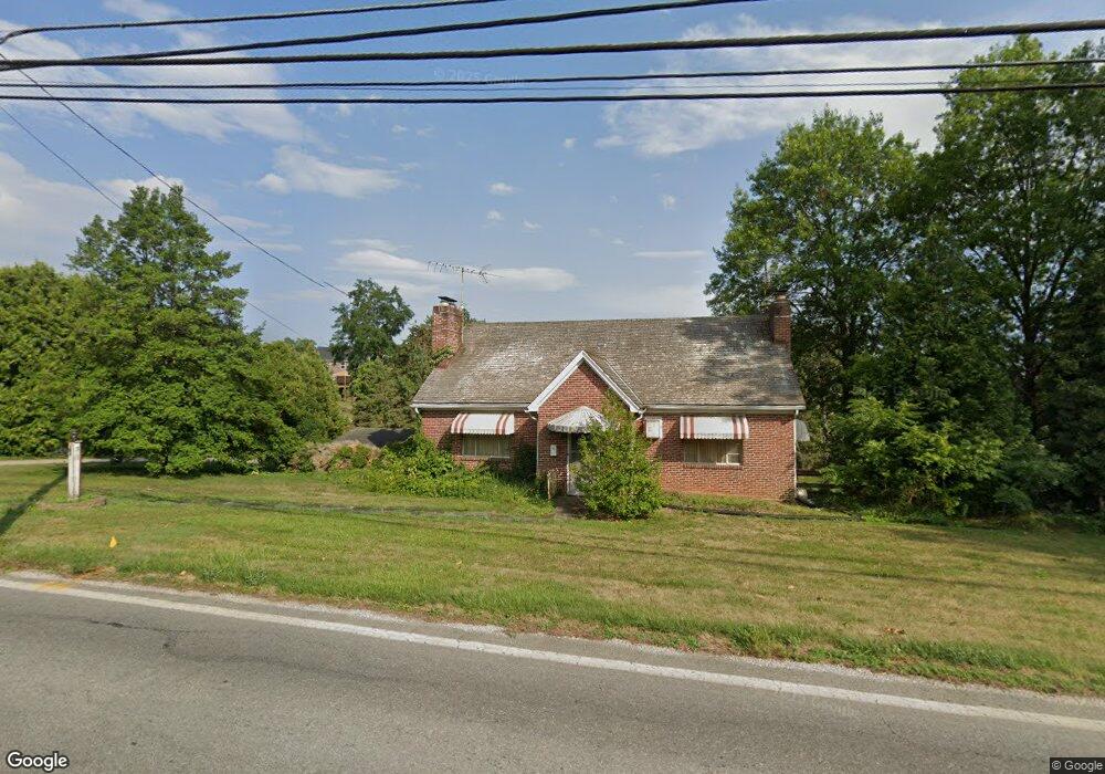
310 W Railroad Ave Shrewsbury, PA 17361
Estimated Value: $327,000 - $357,000
3
Beds
1
Bath
1,798
Sq Ft
$190/Sq Ft
Est. Value
About This Home
This home is located at 310 W Railroad Ave, Shrewsbury, PA 17361 and is currently estimated at $342,431, approximately $190 per square foot. 310 W Railroad Ave is a home located in York County with nearby schools including Susquehannock High School, Shrewsbury Christian Academy, and St John The Baptist Catholic School.
Ownership History
Date
Name
Owned For
Owner Type
Purchase Details
Closed on
Jul 12, 2001
Sold by
Orwig Philip D and Estate Of Mervin H Orwig
Bought by
Shaub Megan J
Current Estimated Value
Home Financials for this Owner
Home Financials are based on the most recent Mortgage that was taken out on this home.
Original Mortgage
$123,200
Outstanding Balance
$47,685
Interest Rate
7.2%
Estimated Equity
$294,746
Create a Home Valuation Report for This Property
The Home Valuation Report is an in-depth analysis detailing your home's value as well as a comparison with similar homes in the area
Home Values in the Area
Average Home Value in this Area
Purchase History
| Date | Buyer | Sale Price | Title Company |
|---|---|---|---|
| Shaub Megan J | $154,000 | -- |
Source: Public Records
Mortgage History
| Date | Status | Borrower | Loan Amount |
|---|---|---|---|
| Open | Shaub Megan J | $123,200 |
Source: Public Records
Tax History Compared to Growth
Tax History
| Year | Tax Paid | Tax Assessment Tax Assessment Total Assessment is a certain percentage of the fair market value that is determined by local assessors to be the total taxable value of land and additions on the property. | Land | Improvement |
|---|---|---|---|---|
| 2025 | $5,357 | $193,580 | $69,210 | $124,370 |
| 2024 | $5,204 | $193,580 | $69,210 | $124,370 |
| 2023 | $5,204 | $193,580 | $69,210 | $124,370 |
| 2022 | $5,204 | $193,580 | $69,210 | $124,370 |
| 2021 | $4,999 | $193,580 | $69,210 | $124,370 |
| 2020 | $4,999 | $193,580 | $69,210 | $124,370 |
| 2019 | $4,956 | $193,580 | $69,210 | $124,370 |
| 2018 | $4,865 | $193,580 | $69,210 | $124,370 |
| 2017 | $4,776 | $193,580 | $69,210 | $124,370 |
| 2016 | $0 | $193,580 | $69,210 | $124,370 |
| 2015 | -- | $193,580 | $69,210 | $124,370 |
| 2014 | -- | $193,580 | $69,210 | $124,370 |
Source: Public Records
Map
Nearby Homes
- 214 S Sunset Dr
- 113 S Main St
- 12 S Main St
- 1 Harambe Overlook
- LOT 6 CAMDEN MODEL Harambe Overlook
- LOT 7 ST. MICHAELS M Harambe Overlook
- LOT 8 SAVANNAH MODEL Harambe Overlook
- 16554 Kennedy Cir
- LOT 8 PORTLAND MODEL Harambe Overlook
- 264 Prospect Cir Unit 20
- 5 Shaub Rd
- 0 Lot 6 Harambe Overlook Unit PAYK2092222
- 0 Lot 7 Harambe Overlook Unit PAYK2092224
- 0 Lot 8 Harambe Overlook Unit PAYK2092226
- 0 Lot 10 Harambe Overlook Unit PAYK2092216
- 16756 Mount Airy Rd
- 22 E Tolna Rd
- 610 E Tolna Rd Unit SAVANNAH
- 610 E Tolna Rd Unit ADDISON
- 610 E Tolna Rd Unit HAWTHORNE
- 315 W Railroad Ave
- 302 W Railroad Ave
- 313 W Railroad Ave
- 319 W Railroad Ave
- 322 W Railroad Ave
- 321 W Railroad Ave
- 303 W Railroad Ave
- 210 W Railroad Ave
- 8 Ervin Dr
- 6 Ervin Dr
- 49 Glenn Ct
- 48 Charles St
- 4 Ervin Dr
- 10 Ervin Dr
- 204 W Railroad Ave
- 205 W Railroad Ave
- 0 W Railroad Ave
- 44 Glenn Ct
- 46 Charles St
- 2 W Church Ave