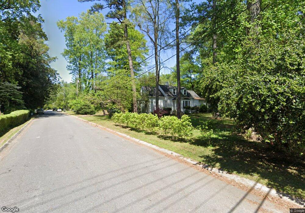
310 Whitlock Ave NW Marietta, GA 30064
Northwestern Marietta NeighborhoodEstimated Value: $489,720 - $667,000
3
Beds
2
Baths
1,650
Sq Ft
$355/Sq Ft
Est. Value
About This Home
This home is located at 310 Whitlock Ave NW, Marietta, GA 30064 and is currently estimated at $584,930, approximately $354 per square foot. 310 Whitlock Ave NW is a home located in Cobb County with nearby schools including West Side Elementary School, Marietta Sixth Grade Academy, and Marietta Middle School.
Ownership History
Date
Name
Owned For
Owner Type
Purchase Details
Closed on
Nov 25, 2019
Sold by
Tisinger Erica
Bought by
Scott Sandy E
Current Estimated Value
Purchase Details
Closed on
Oct 15, 1993
Sold by
Secretary Of Hud
Bought by
Scott Sandy E Lucille E
Purchase Details
Closed on
Aug 4, 1992
Sold by
Sears Mtg Co
Bought by
Secretary Of Hud
Create a Home Valuation Report for This Property
The Home Valuation Report is an in-depth analysis detailing your home's value as well as a comparison with similar homes in the area
Home Values in the Area
Average Home Value in this Area
Purchase History
| Date | Buyer | Sale Price | Title Company |
|---|---|---|---|
| Scott Sandy E | -- | None Available | |
| Scott Sandy E Lucille E | -- | -- | |
| Secretary Of Hud | -- | -- | |
| Sears Mtg Co | $106,695 | -- |
Source: Public Records
Tax History Compared to Growth
Tax History
| Year | Tax Paid | Tax Assessment Tax Assessment Total Assessment is a certain percentage of the fair market value that is determined by local assessors to be the total taxable value of land and additions on the property. | Land | Improvement |
|---|---|---|---|---|
| 2025 | $802 | $164,684 | $81,600 | $83,084 |
| 2024 | $802 | $158,040 | $80,000 | $78,040 |
| 2023 | $650 | $153,164 | $80,000 | $73,164 |
| 2022 | $802 | $111,168 | $64,000 | $47,168 |
| 2021 | $817 | $111,168 | $64,000 | $47,168 |
| 2020 | $817 | $111,168 | $64,000 | $47,168 |
| 2019 | $816 | $104,820 | $56,000 | $48,820 |
| 2018 | $900 | $104,820 | $56,000 | $48,820 |
| 2017 | $654 | $94,920 | $56,000 | $38,920 |
| 2016 | $610 | $88,520 | $49,600 | $38,920 |
| 2015 | $595 | $79,316 | $48,000 | $31,316 |
| 2014 | $615 | $79,316 | $0 | $0 |
Source: Public Records
Map
Nearby Homes
- 32 Durham St SW
- 73 Whitlock Square SW
- 25 Whitlock Square SW
- 207 Walthall St NW
- 80 Lindley Ave NW Unit 1
- 327 Stewart Ave NW
- 59 Trammell St SW
- 0 Polk St NW Unit 1523635
- 563 Hillandale Cir SW
- 266 Crescent Cir SW
- 305 Brookwood Dr SW
- 282 Evelyn St NW
- 285 Kennesaw Ave NW
- 99 Griggs St SW
- 557 Henry Dr
- 740 Polk St NW
- 746 Polk St NW
- 135 Sidney St
- 298 Whitlock Ave NW
- 328 Whitlock Ave NW
- 36 Brown Ave NW
- 282 Whitlock Ave NW
- 31 Cleburne Ave NW
- 336 Whitlock Ave NW
- 48 Brown Ave NW
- 0 Brown Ave Unit 8046502
- 0 Brown Ave
- 47 Brown Ave NW
- 346 Whitlock Ave NW
- 268 Whitlock Ave NW
- 45 Morrison Ct NW
- 291 Walnut Path SW
- 45 Cleburne Ave NW
- 59 Brown Ave NW
- 310 Oakhurst Ln SW
- 58 Brown Ave NW
- 49 Morrison Ct N
- 20 Morrison St NW