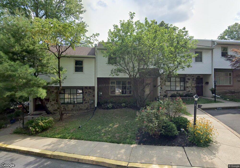
310 Woodside Cir Dresher, PA 19025
Estimated Value: $329,000 - $382,000
3
Beds
3
Baths
1,500
Sq Ft
$233/Sq Ft
Est. Value
About This Home
This home is located at 310 Woodside Cir, Dresher, PA 19025 and is currently estimated at $350,203, approximately $233 per square foot. 310 Woodside Cir is a home located in Montgomery County with nearby schools including Thomas Fitzwater Elementary School, Sandy Run Middle School, and Upper Dublin High School.
Ownership History
Date
Name
Owned For
Owner Type
Purchase Details
Closed on
Feb 26, 2018
Sold by
Distefano Robert and Distefano Edith
Bought by
Kless Ladao T and Kless Daniel J
Current Estimated Value
Home Financials for this Owner
Home Financials are based on the most recent Mortgage that was taken out on this home.
Original Mortgage
$91,350
Outstanding Balance
$77,849
Interest Rate
4.15%
Mortgage Type
New Conventional
Estimated Equity
$272,355
Purchase Details
Closed on
Jun 22, 2004
Sold by
Burns Colleen M
Bought by
Distefano Robert and Distefano Edith
Home Financials for this Owner
Home Financials are based on the most recent Mortgage that was taken out on this home.
Original Mortgage
$19,900
Interest Rate
6.32%
Create a Home Valuation Report for This Property
The Home Valuation Report is an in-depth analysis detailing your home's value as well as a comparison with similar homes in the area
Home Values in the Area
Average Home Value in this Area
Purchase History
| Date | Buyer | Sale Price | Title Company |
|---|---|---|---|
| Kless Ladao T | $185,000 | -- | |
| Distefano Robert | $199,500 | -- |
Source: Public Records
Mortgage History
| Date | Status | Borrower | Loan Amount |
|---|---|---|---|
| Open | Kless Ladao T | $91,350 | |
| Previous Owner | Distefano Robert | $19,900 |
Source: Public Records
Tax History Compared to Growth
Tax History
| Year | Tax Paid | Tax Assessment Tax Assessment Total Assessment is a certain percentage of the fair market value that is determined by local assessors to be the total taxable value of land and additions on the property. | Land | Improvement |
|---|---|---|---|---|
| 2025 | $4,455 | $91,350 | $17,160 | $74,190 |
| 2024 | $4,455 | $91,350 | $17,160 | $74,190 |
| 2023 | $4,351 | $91,350 | $17,160 | $74,190 |
| 2022 | $4,256 | $91,350 | $17,160 | $74,190 |
| 2021 | $4,150 | $91,350 | $17,160 | $74,190 |
| 2020 | $4,030 | $91,350 | $17,160 | $74,190 |
| 2019 | $3,963 | $91,350 | $17,160 | $74,190 |
| 2018 | $3,963 | $91,350 | $17,160 | $74,190 |
| 2017 | $3,818 | $91,350 | $17,160 | $74,190 |
| 2016 | $3,782 | $91,350 | $17,160 | $74,190 |
| 2015 | $3,573 | $91,350 | $17,160 | $74,190 |
| 2014 | $3,573 | $91,350 | $17,160 | $74,190 |
Source: Public Records
Map
Nearby Homes
- 309 Woodside Cir
- 1120 Wilson Ave
- 1212 Duncan Dr
- 2933 Susquehanna Rd
- 3225 Burn Brae Dr
- 1230 Hall Ave
- 3159 Burn Brae Dr
- 3012 Lincoln Ave
- 2806 Anzac Ave
- 2750 Turner Ave
- 1371 Fitzwatertown Rd
- 743 Penn Ave
- 25 Northview Dr
- 1241 Johnston Ave
- 541 Cardinal Dr
- 2637 Woodland Rd
- 722 Maple Ave
- 623 Penn Ave
- 536 Cardinal Dr
- 1521 Coulon Rd
- 311 Woodside Cir
- 308 Woodside Cir
- 307 Woodside Cir
- 400 Woodside Cir
- 306 Woodside Cir
- 401 Woodside Cir Unit 31
- 305 Woodside Cir Unit 23
- 402 Woodside Cir
- 304 Woodside Cir
- 403 Woodside Cir
- 404 Woodside Cir
- 303 Woodside Cir Unit 21
- 100 Woodside Cir
- 101 Woodside Cir Unit 2
- 102 Woodside Cir
- 302 Woodside Cir
- 103 Woodside Cir
- 301 Woodside Cir
- 1050 Fitzwatertown Rd
- 104 Woodside Cir