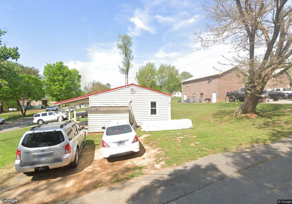
3100 Norman St Morristown, TN 37814
Estimated Value: $81,000 - $248,000
--
Bed
1
Bath
1,068
Sq Ft
$160/Sq Ft
Est. Value
About This Home
This home is located at 3100 Norman St, Morristown, TN 37814 and is currently estimated at $171,096, approximately $160 per square foot. 3100 Norman St is a home located in Hamblen County with nearby schools including Manley Elementary School, West View Middle School, and Morristown West High School.
Ownership History
Date
Name
Owned For
Owner Type
Purchase Details
Closed on
Oct 25, 1993
Sold by
Secretary Of Hud
Bought by
Frank Southerland
Current Estimated Value
Purchase Details
Closed on
Jun 24, 1993
Bought by
Secretary Of H U D 710 Locust St
Purchase Details
Closed on
Jun 21, 1993
Bought by
Tennessee H D Agency
Purchase Details
Closed on
May 31, 1991
Bought by
Ramos Donna L
Purchase Details
Closed on
Jul 18, 1989
Bought by
Ramos Francisco and Ramos Donna L
Purchase Details
Closed on
Oct 10, 1988
Bought by
Ramos Francisco and Ramos Donna L
Purchase Details
Closed on
Jan 24, 1985
Bought by
Williams Clyde H
Purchase Details
Closed on
Mar 8, 1972
Bought by
Case John L and Case Ruby
Create a Home Valuation Report for This Property
The Home Valuation Report is an in-depth analysis detailing your home's value as well as a comparison with similar homes in the area
Home Values in the Area
Average Home Value in this Area
Purchase History
| Date | Buyer | Sale Price | Title Company |
|---|---|---|---|
| Frank Southerland | $24,000 | -- | |
| Secretary Of H U D 710 Locust St | -- | -- | |
| Tennessee H D Agency | -- | -- | |
| Ramos Donna L | -- | -- | |
| Ramos Francisco | -- | -- | |
| Ramos Francisco | -- | -- | |
| Williams Clyde H | -- | -- | |
| Case John L | -- | -- |
Source: Public Records
Tax History Compared to Growth
Tax History
| Year | Tax Paid | Tax Assessment Tax Assessment Total Assessment is a certain percentage of the fair market value that is determined by local assessors to be the total taxable value of land and additions on the property. | Land | Improvement |
|---|---|---|---|---|
| 2024 | $282 | $16,025 | $2,375 | $13,650 |
| 2023 | $275 | $15,625 | $0 | $0 |
| 2022 | $494 | $15,625 | $2,375 | $13,250 |
| 2021 | $494 | $15,625 | $2,375 | $13,250 |
| 2020 | $218 | $15,625 | $2,375 | $13,250 |
| 2019 | $437 | $12,850 | $3,150 | $9,700 |
| 2018 | $405 | $12,850 | $3,150 | $9,700 |
| 2017 | $398 | $12,850 | $3,150 | $9,700 |
| 2016 | $380 | $12,850 | $3,150 | $9,700 |
| 2015 | $354 | $12,850 | $3,150 | $9,700 |
| 2014 | -- | $12,850 | $3,150 | $9,700 |
| 2013 | -- | $12,975 | $0 | $0 |
Source: Public Records
Map
Nearby Homes
- 700 Drinnon Dr
- 3475 Walden Dr
- 3471 Walden Dr
- 801 Colonial Dr
- 2978 Wilshire Blvd
- 729 Amanda Harrison Ct
- 3113 Wilshire Blvd
- 725 Barton Dr
- 2454 Sandstone Dr
- 2444 Sandstone Dr
- 2430 Sandstone Dr
- 2310 Sandstone Dr
- 1086 St Ives Ct
- 1101 Drinnon Dr
- 2045 N Economy Rd Unit A3
- 3721 Meadowland Dr
- 2020 N Economy Rd
- 707 Walters Dr
- 3641 Meadowland Dr
- Darwin Plan at Southwood
- 3106 Norman St
- 215 Baltic Dr
- 3103 Norman St
- 3101 Norman St
- 3105 Walker Dr
- 3105 Norman St
- 3107 Norman St
- 3103 Marcum Dr
- 208 Walker Dr
- 3109 Norman St
- 212 Walker Dr
- 214 Walker Dr
- 3111 Walker Dr
- 3111 Norman St
- 203 Walker Dr
- 207 Walker Dr
- 213 Walker Dr
- 3114 Norman St
- 215 Walker Dr
- 2901 W Andrew Johnson Hwy