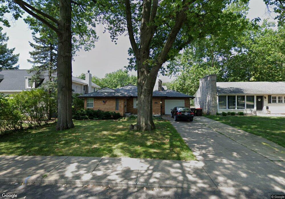
3109 N Bigelow St Unit 92 Peoria, IL 61604
West Bluff NeighborhoodEstimated Value: $194,964 - $235,000
2
Beds
2
Baths
1,400
Sq Ft
$150/Sq Ft
Est. Value
About This Home
This home is located at 3109 N Bigelow St Unit 92, Peoria, IL 61604 and is currently estimated at $210,241, approximately $150 per square foot. 3109 N Bigelow St Unit 92 is a home located in Peoria County with nearby schools including Dr. C. T. Vivian Primary School, Sterling Middle School, and Peoria High School.
Ownership History
Date
Name
Owned For
Owner Type
Purchase Details
Closed on
Jun 23, 2017
Sold by
Scott Cannon and Scott Courtney
Bought by
Holley Dalelynn
Current Estimated Value
Home Financials for this Owner
Home Financials are based on the most recent Mortgage that was taken out on this home.
Original Mortgage
$71,381
Outstanding Balance
$37,255
Interest Rate
3.87%
Mortgage Type
VA
Estimated Equity
$172,986
Purchase Details
Closed on
Jul 5, 2006
Bought by
Cannon Scott and Ivers Courtney
Create a Home Valuation Report for This Property
The Home Valuation Report is an in-depth analysis detailing your home's value as well as a comparison with similar homes in the area
Home Values in the Area
Average Home Value in this Area
Purchase History
| Date | Buyer | Sale Price | Title Company |
|---|---|---|---|
| Holley Dalelynn | $130,500 | Chicago Title Co | |
| Cannon Scott | $130,000 | -- |
Source: Public Records
Mortgage History
| Date | Status | Borrower | Loan Amount |
|---|---|---|---|
| Open | Holley Dalelynn | $71,381 |
Source: Public Records
Tax History Compared to Growth
Tax History
| Year | Tax Paid | Tax Assessment Tax Assessment Total Assessment is a certain percentage of the fair market value that is determined by local assessors to be the total taxable value of land and additions on the property. | Land | Improvement |
|---|---|---|---|---|
| 2024 | $4,003 | $55,250 | $8,530 | $46,720 |
| 2023 | $3,734 | $50,690 | $7,830 | $42,860 |
| 2022 | $3,418 | $46,430 | $7,210 | $39,220 |
| 2021 | $3,303 | $44,220 | $6,870 | $37,350 |
| 2020 | $3,786 | $43,780 | $6,800 | $36,980 |
| 2019 | $3,852 | $44,670 | $6,940 | $37,730 |
| 2018 | $3,751 | $44,510 | $7,010 | $37,500 |
| 2017 | $3,756 | $44,960 | $7,080 | $37,880 |
| 2016 | $3,640 | $44,960 | $7,080 | $37,880 |
| 2015 | $3,481 | $44,080 | $6,940 | $37,140 |
| 2014 | $3,487 | $43,810 | $6,590 | $37,220 |
| 2013 | -- | $44,340 | $6,670 | $37,670 |
Source: Public Records
Map
Nearby Homes
- 125 W Forrest Hill Ave
- 401 W Forrest Hill Ave
- 302 W Melbourne Ave
- 425 W Hudson St
- 502 W Melbourne Ave
- 201 W Hanssler Place
- 209 E Corrington Ave
- 609 W Hudson St
- 3118 N Sheridan Rd
- 600 W Richwoods Blvd
- 512 W Willcox Ave
- 124 E Orchard Place
- 2624 N Bigelow St
- 2625 N Linn St
- 3007 N Sheridan Rd
- 410 E Melbourne Ave
- 2804 N Peoria Ave
- 3215 Knoxville Ave
- 800 W Forrest Hill Ave
- 308 W Edgevale Place
- 3109 N Bigelow St
- 3105 N Bigelow St
- 3113 N Bigelow St
- 315 W Forrest Hill Ave
- 3117 N Bigelow St
- 3121 N Bigelow St
- 3027 N Bigelow St
- 321 W Forrest Hill Ave
- 3112 N North St
- 211 W Forrest Hill Ave
- 3112 N Bigelow St
- 3108 N Bigelow St
- 3116 N North St
- 3116 N Bigelow St
- 314 W Forrest Hill Ave
- 3122 N North St
- 3120 N Bigelow St
- 3023 N Bigelow St
- 3028 N Bigelow St
- 3129 N Bigelow St