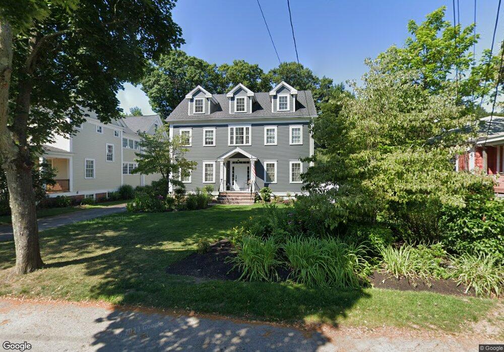
311 Albemarle Rd Newtonville, MA 02460
West Newton NeighborhoodEstimated Value: $2,296,000 - $2,852,000
6
Beds
6
Baths
4,459
Sq Ft
$586/Sq Ft
Est. Value
About This Home
This home is located at 311 Albemarle Rd, Newtonville, MA 02460 and is currently estimated at $2,614,508, approximately $586 per square foot. 311 Albemarle Rd is a home located in Middlesex County with nearby schools including Horace Mann Elementary School, F.A. Day Middle School, and Newton North High School.
Ownership History
Date
Name
Owned For
Owner Type
Purchase Details
Closed on
Jul 13, 2019
Sold by
Furlong Daniel C
Bought by
Tara Daniel and Tara Furlong T
Current Estimated Value
Purchase Details
Closed on
Nov 23, 1993
Sold by
Hickman Robert
Bought by
Furlong Kathleen M and Furlong Daniel C
Home Financials for this Owner
Home Financials are based on the most recent Mortgage that was taken out on this home.
Original Mortgage
$159,000
Interest Rate
6.77%
Mortgage Type
Purchase Money Mortgage
Create a Home Valuation Report for This Property
The Home Valuation Report is an in-depth analysis detailing your home's value as well as a comparison with similar homes in the area
Home Values in the Area
Average Home Value in this Area
Purchase History
| Date | Buyer | Sale Price | Title Company |
|---|---|---|---|
| Tara Daniel | -- | -- | |
| Furlong Kathleen M | $179,000 | -- |
Source: Public Records
Mortgage History
| Date | Status | Borrower | Loan Amount |
|---|---|---|---|
| Previous Owner | Furlong Kathleen M | $50,000 | |
| Previous Owner | Furlong Kathleen M | $159,000 |
Source: Public Records
Tax History Compared to Growth
Tax History
| Year | Tax Paid | Tax Assessment Tax Assessment Total Assessment is a certain percentage of the fair market value that is determined by local assessors to be the total taxable value of land and additions on the property. | Land | Improvement |
|---|---|---|---|---|
| 2025 | $22,157 | $2,260,900 | $870,600 | $1,390,300 |
| 2024 | $21,423 | $2,195,000 | $845,200 | $1,349,800 |
| 2023 | $20,764 | $2,039,700 | $646,400 | $1,393,300 |
| 2022 | $19,868 | $1,888,600 | $598,500 | $1,290,100 |
| 2021 | $19,171 | $1,781,700 | $564,600 | $1,217,100 |
| 2020 | $18,601 | $1,781,700 | $564,600 | $1,217,100 |
| 2019 | $18,076 | $1,729,800 | $548,200 | $1,181,600 |
| 2018 | $17,801 | $1,645,200 | $496,200 | $1,149,000 |
| 2017 | $17,259 | $1,552,100 | $468,100 | $1,084,000 |
| 2016 | $16,508 | $1,450,600 | $437,500 | $1,013,100 |
| 2015 | $15,740 | $1,355,700 | $408,900 | $946,800 |
Source: Public Records
Map
Nearby Homes
- 321 Albemarle Rd
- 354 Linwood Ave Unit 1
- 43 Walker St
- 611 Watertown St Unit 14
- 32-34 Rossmere St
- 57 Walnut St
- 4 Wiswall St
- 935 Washington St (Rear Facing) Unit 11
- 935 Washington St Unit 8
- 12 Wiswall St
- 168 Walnut St
- 27 Cross St Unit 27
- 911 Washington St
- 123 Mount Vernon St Unit 2
- 177 Nevada St
- 97 North St
- 33 Joseph Rd
- 42-44 Judkins St
- 286 Nevada St Unit 286
- 282 Nevada St Unit 282
- 315 Albemarle Rd
- 305 Albemarle Rd
- 305 Albemarle Rd Unit 2
- 305 Albemarle Rd Unit 4
- 24 Wildwood Ave Unit 24
- 20 Wildwood Ave
- 28 Wildwood Ave
- 30 Wildwood Ave
- 325 Albemarle Rd
- 10 Wildwood Ave
- 34 Wildwood Ave
- 293 Albemarle Rd
- 331 Albemarle Rd
- 19 Wildwood Ave
- 23 Wildwood Ave
- 36 Wildwood Ave
- 27 Wildwood Ave
- 7 Wildwood Ave
- 4 Wildwood Ave
- 0 Wildwood Ave L:b