311 Annette Ave Stevensville, MD 21666
Estimated Value: $455,000 - $600,000
--
Bed
3
Baths
1,720
Sq Ft
$301/Sq Ft
Est. Value
About This Home
This home is located at 311 Annette Ave, Stevensville, MD 21666 and is currently estimated at $518,166, approximately $301 per square foot. 311 Annette Ave is a home located in Queen Anne's County with nearby schools including Matapeake Elementary School, Matapeake Middle School, and Kent Island High School.
Ownership History
Date
Name
Owned For
Owner Type
Purchase Details
Closed on
Feb 26, 1991
Sold by
Confident Contractors, Inc
Bought by
Day Michael K and Jacquelyn Lee
Current Estimated Value
Home Financials for this Owner
Home Financials are based on the most recent Mortgage that was taken out on this home.
Original Mortgage
$124,623
Interest Rate
9.29%
Purchase Details
Closed on
Oct 20, 1989
Sold by
J & J Development Co, Inc
Bought by
Confident Contractors, Inc
Home Financials for this Owner
Home Financials are based on the most recent Mortgage that was taken out on this home.
Original Mortgage
$112,000
Interest Rate
9.92%
Create a Home Valuation Report for This Property
The Home Valuation Report is an in-depth analysis detailing your home's value as well as a comparison with similar homes in the area
Home Values in the Area
Average Home Value in this Area
Purchase History
| Date | Buyer | Sale Price | Title Company |
|---|---|---|---|
| Day Michael K | $135,900 | -- | |
| Confident Contractors, Inc | $44,000 | -- |
Source: Public Records
Mortgage History
| Date | Status | Borrower | Loan Amount |
|---|---|---|---|
| Closed | Day Michael K | $124,623 | |
| Previous Owner | Confident Contractors, Inc | $112,000 |
Source: Public Records
Tax History Compared to Growth
Tax History
| Year | Tax Paid | Tax Assessment Tax Assessment Total Assessment is a certain percentage of the fair market value that is determined by local assessors to be the total taxable value of land and additions on the property. | Land | Improvement |
|---|---|---|---|---|
| 2025 | $3,305 | $374,967 | $0 | $0 |
| 2024 | $3,196 | $346,333 | $0 | $0 |
| 2023 | $3,033 | $317,700 | $151,500 | $166,200 |
| 2022 | $2,900 | $310,533 | $0 | $0 |
| 2021 | $2,699 | $303,367 | $0 | $0 |
| 2020 | $2,699 | $296,200 | $147,600 | $148,600 |
| 2019 | $2,567 | $275,900 | $0 | $0 |
| 2018 | $2,439 | $255,600 | $0 | $0 |
| 2017 | $2,317 | $235,300 | $0 | $0 |
| 2016 | -- | $235,300 | $0 | $0 |
| 2015 | $1,233 | $235,300 | $0 | $0 |
| 2014 | $1,233 | $258,400 | $0 | $0 |
Source: Public Records
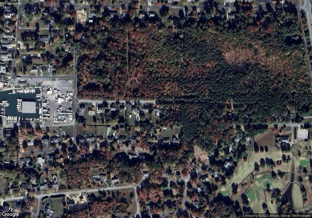
Map
Nearby Homes
- 114 Queens Colony High Rd
- 303 Queens Colony High Rd
- 312 Queens Colony High Rd
- 511 Chesapeake Ave
- 0 Allen Ave
- 0 Reynolds Ave
- 206 Columbia Ln
- 410 5 Farms Dr
- 227 Queen Anne Club Dr
- 303 Queen Anne Club Dr
- 412 Five Farms Dr
- 312 Columbia Ln
- 116 Mallard Dr
- 122 Mallard Dr
- Lot 7 Maple Rd
- 103 Chesapeake Estates Dr
- 0 Chesapeake Estates Dr
- 101 Oak St
- 321 Oregon Rd
- 122 S Carolina Rd
- 313 Annette Ave
- 317 Annette Ave
- 304 Chesapeake Ave
- 302 Chesapeake Ave
- 300 Chesapeake Ave
- 308 Chesapeake Ave
- 401 Annette Ave
- 400 Chesapeake Ave
- 405 Annette Ave
- 319 Chesapeake Ave
- 401 Chesapeake Ave
- 410 Chesapeake Ave
- 411 Annette Ave
- 405 Chesapeake Ave
- 116 Queens Colony High Rd
- 204 Queens Colony High Rd
- 202 Queens Colony High Rd
- 412 Chesapeake Ave
- 112 Queens Colony High Rd
- 200 Queens Colony High Rd