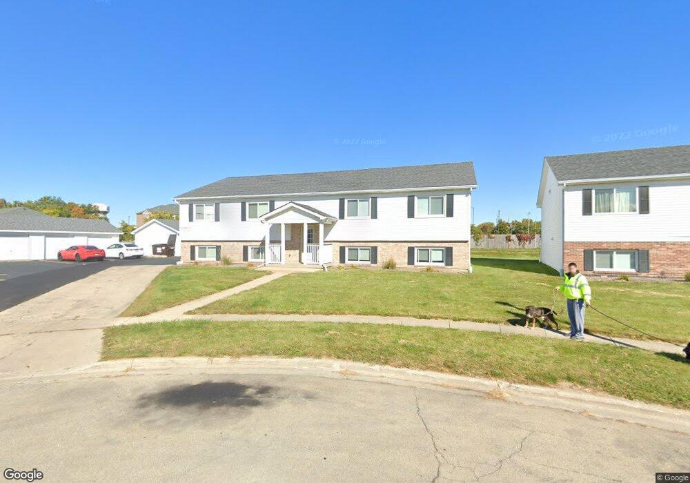
311 Barberry Ct Dekalb, IL 60115
Estimated Value: $296,837 - $360,000
--
Bed
--
Bath
--
Sq Ft
0.48
Acres
About This Home
This home is located at 311 Barberry Ct, Dekalb, IL 60115 and is currently estimated at $330,612. 311 Barberry Ct is a home located in DeKalb County with nearby schools including Founders Elementary School, Huntley Middle School, and De Kalb High School.
Ownership History
Date
Name
Owned For
Owner Type
Purchase Details
Closed on
May 17, 2016
Sold by
Sterling Federal Bank Fsb
Bought by
Grt Apartments Llc
Current Estimated Value
Home Financials for this Owner
Home Financials are based on the most recent Mortgage that was taken out on this home.
Original Mortgage
$866,000
Outstanding Balance
$699,106
Interest Rate
4.1%
Mortgage Type
Construction
Estimated Equity
-$368,494
Purchase Details
Closed on
Mar 3, 2016
Sold by
Proctor Janet S
Bought by
Sterling Federal Bank Fsb
Purchase Details
Closed on
Feb 26, 2016
Sold by
National Bank & Trust Co
Bought by
Proctor Janet S
Create a Home Valuation Report for This Property
The Home Valuation Report is an in-depth analysis detailing your home's value as well as a comparison with similar homes in the area
Home Values in the Area
Average Home Value in this Area
Purchase History
| Date | Buyer | Sale Price | Title Company |
|---|---|---|---|
| Grt Apartments Llc | $874,000 | -- | |
| Sterling Federal Bank Fsb | -- | -- | |
| Proctor Janet S | -- | -- |
Source: Public Records
Mortgage History
| Date | Status | Borrower | Loan Amount |
|---|---|---|---|
| Open | Grt Apartments Llc | $866,000 |
Source: Public Records
Tax History Compared to Growth
Tax History
| Year | Tax Paid | Tax Assessment Tax Assessment Total Assessment is a certain percentage of the fair market value that is determined by local assessors to be the total taxable value of land and additions on the property. | Land | Improvement |
|---|---|---|---|---|
| 2024 | $7,475 | $91,630 | $11,798 | $79,832 |
| 2023 | $7,475 | $79,233 | $10,287 | $68,946 |
| 2022 | $7,327 | $72,339 | $11,740 | $60,599 |
| 2021 | $7,524 | $67,847 | $11,011 | $56,836 |
| 2020 | $7,694 | $66,765 | $10,835 | $55,930 |
| 2019 | $7,544 | $64,141 | $10,409 | $53,732 |
| 2018 | $7,367 | $61,966 | $10,056 | $51,910 |
| 2017 | $7,437 | $59,565 | $9,666 | $49,899 |
| 2016 | $7,355 | $58,061 | $9,422 | $48,639 |
| 2015 | -- | $70,212 | $8,927 | $61,285 |
| 2014 | -- | $71,115 | $12,917 | $58,198 |
| 2013 | -- | $74,700 | $13,568 | $61,132 |
Source: Public Records
Map
Nearby Homes
- 1289 Ivy St
- 643 Plum St
- 664 Magnolia St
- 1548 Moluf St
- 1563 Farmstead Ln
- 910 Dawn Ct
- 451 Thresher St
- 476 Thresher St
- 752 Kensington Blvd
- 1692 Furrow St
- 1663 Furrow St
- 468 Bush St
- 1723 Goldenrod Turn
- 399 Bantam St
- 1143 Quail Run
- 1734 Sunglow Ln
- The Wesley Plan at Bridges of Rivermist
- The Samuel Plan at Bridges of Rivermist
- 1177 Golf Ct
- 340 W Roosevelt St
- 311 Barberry Ct Unit B
- 311 Barberry Ct Unit C
- 319 Barberry Ct
- 302 Barberry Ct
- 316 Barberry Ct
- 343 Barberry Ct
- 1277 Chestnut St
- 332 Barberry Ct
- 330 Barberry Ct
- 344 Barberry Ct
- 1267 Chestnut St
- 1269 Chestnut St
- 315 Ash Ct
- 315 Ash Ct Unit 315
- 321 Ash Ct Unit 321
- 321 Ash Ct
- 356 Barberry Ct
- 329 Ash Ct
- 1251 Chestnut St
- 317 Ash Ct Unit 317