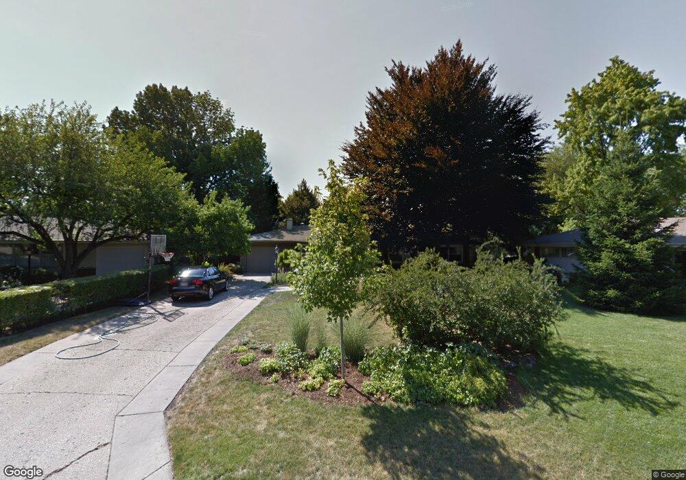
311 Brookside Cir Wheaton, IL 60187
Hawthorne NeighborhoodEstimated Value: $449,627 - $741,000
3
Beds
4
Baths
2,009
Sq Ft
$279/Sq Ft
Est. Value
About This Home
This home is located at 311 Brookside Cir, Wheaton, IL 60187 and is currently estimated at $560,157, approximately $278 per square foot. 311 Brookside Cir is a home located in DuPage County with nearby schools including Washington Elementary School, Franklin Middle School, and Wheaton North High School.
Ownership History
Date
Name
Owned For
Owner Type
Purchase Details
Closed on
Jul 30, 2024
Sold by
Mason Noel R and Mason Debra M
Bought by
Mason Family Revocable Trust and Mason
Current Estimated Value
Purchase Details
Closed on
Jan 11, 2001
Sold by
Thompson Charles S and Thompson Billie Sue
Bought by
Mason Noel R and Mason Debra M
Home Financials for this Owner
Home Financials are based on the most recent Mortgage that was taken out on this home.
Original Mortgage
$168,800
Interest Rate
7.43%
Create a Home Valuation Report for This Property
The Home Valuation Report is an in-depth analysis detailing your home's value as well as a comparison with similar homes in the area
Home Values in the Area
Average Home Value in this Area
Purchase History
| Date | Buyer | Sale Price | Title Company |
|---|---|---|---|
| Mason Family Revocable Trust | -- | None Listed On Document | |
| Mason Noel R | $211,000 | -- |
Source: Public Records
Mortgage History
| Date | Status | Borrower | Loan Amount |
|---|---|---|---|
| Previous Owner | Mason Noel R | $168,800 | |
| Closed | Mason Noel R | $10,550 |
Source: Public Records
Tax History
| Year | Tax Paid | Tax Assessment Tax Assessment Total Assessment is a certain percentage of the fair market value that is determined by local assessors to be the total taxable value of land and additions on the property. | Land | Improvement |
|---|---|---|---|---|
| 2024 | $8,229 | $135,680 | $40,979 | $94,701 |
| 2023 | $7,899 | $124,890 | $37,720 | $87,170 |
| 2022 | $7,759 | $118,040 | $35,640 | $82,400 |
| 2021 | $7,731 | $115,230 | $34,790 | $80,440 |
| 2020 | $7,706 | $114,160 | $34,470 | $79,690 |
| 2019 | $7,528 | $111,150 | $33,560 | $77,590 |
| 2018 | $7,268 | $106,350 | $39,780 | $66,570 |
| 2017 | $7,156 | $102,420 | $38,310 | $64,110 |
| 2016 | $7,057 | $98,330 | $36,780 | $61,550 |
| 2015 | $6,999 | $93,810 | $35,090 | $58,720 |
| 2014 | $5,982 | $79,780 | $21,620 | $58,160 |
| 2013 | $5,828 | $80,010 | $21,680 | $58,330 |
Source: Public Records
Map
Nearby Homes
- 1902 N Washington St
- 2018 N West St
- 808 Bridle Ln
- 722 Countryside Dr
- 0 Ellis Ave
- 570 Amy Ln
- 1N248 Darling St
- 1017 Tartan Ct
- 1115 N Main St
- 114 W Prairie Ave
- 491 Timber Ridge Dr Unit 101
- 1017 N Main St
- Lot 11 Ellis Ave
- 464 S President St Unit 204
- 1607 Stoddard Ave
- 1906 N Summit St
- 817 E Forest Ave
- 835 Avon Ct
- 25W275 Doris Ave
- 720 E Harrison Ave
- 313 Brookside Cir
- 309 Brookside Cir
- 315 Brookside Cir
- 307 Brookside Cir
- 317 Brookside Cir
- 305 Brookside Cir
- 314 Brookside Cir
- 2019 N Main St
- 2019 N Main St Unit 102B
- 2019 N Main St
- 319 Brookside Cir
- 303 Brookside Cir
- 2050 Hallmark Ct
- 336 Brookside Cir
- 318 Brookside Cir
- 2054 Hallmark Ct
- 2060 Hallmark Ct
- 2064 Hallmark Ct
- 1915 Kingsbrook Ct
- 321 Brookside Cir
Your Personal Tour Guide
Ask me questions while you tour the home.