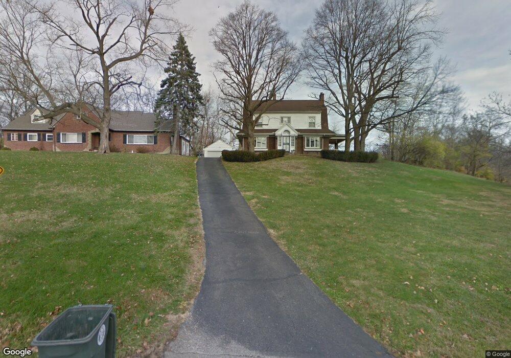
311 Brookside Dr Dayton, OH 45406
Mount Vernon NeighborhoodEstimated Value: $157,884 - $250,000
4
Beds
2
Baths
2,884
Sq Ft
$71/Sq Ft
Est. Value
About This Home
This home is located at 311 Brookside Dr, Dayton, OH 45406 and is currently estimated at $205,471, approximately $71 per square foot. 311 Brookside Dr is a home located in Montgomery County with nearby schools including Valerie Elementary School, Deca Prep, and Dayton Leadership Academies.
Ownership History
Date
Name
Owned For
Owner Type
Purchase Details
Closed on
Apr 8, 2021
Sold by
Lewis Julian M and Lewis Sandra F
Bought by
Lewis Julian M and Lewis Sandra F
Current Estimated Value
Purchase Details
Closed on
Oct 28, 2004
Sold by
Schubert Moell Kathryn Ann
Bought by
Lewis Juliam M and Lewis Sandra F
Home Financials for this Owner
Home Financials are based on the most recent Mortgage that was taken out on this home.
Original Mortgage
$164,000
Outstanding Balance
$81,950
Interest Rate
5.8%
Mortgage Type
Fannie Mae Freddie Mac
Estimated Equity
$123,521
Purchase Details
Closed on
Jan 31, 2003
Sold by
Moell Jeffrey D and Schubert Moell Kathryn A
Bought by
Moell Jeffrey David and Schubert Moell Kathryn Ann
Create a Home Valuation Report for This Property
The Home Valuation Report is an in-depth analysis detailing your home's value as well as a comparison with similar homes in the area
Home Values in the Area
Average Home Value in this Area
Purchase History
| Date | Buyer | Sale Price | Title Company |
|---|---|---|---|
| Lewis Julian M | -- | None Available | |
| Lewis Juliam M | $164,000 | None Available | |
| Moell Jeffrey David | -- | -- |
Source: Public Records
Mortgage History
| Date | Status | Borrower | Loan Amount |
|---|---|---|---|
| Open | Lewis Juliam M | $164,000 |
Source: Public Records
Tax History Compared to Growth
Tax History
| Year | Tax Paid | Tax Assessment Tax Assessment Total Assessment is a certain percentage of the fair market value that is determined by local assessors to be the total taxable value of land and additions on the property. | Land | Improvement |
|---|---|---|---|---|
| 2024 | $1,304 | $32,260 | $5,040 | $27,220 |
| 2023 | $1,304 | $32,260 | $5,040 | $27,220 |
| 2022 | $1,685 | $31,920 | $4,990 | $26,930 |
| 2021 | $1,676 | $31,920 | $4,990 | $26,930 |
| 2020 | $1,673 | $31,920 | $4,990 | $26,930 |
| 2019 | $1,286 | $24,470 | $5,250 | $19,220 |
| 2018 | $1,287 | $24,470 | $5,250 | $19,220 |
| 2017 | $1,277 | $24,470 | $5,250 | $19,220 |
| 2016 | $1,538 | $26,910 | $5,250 | $21,660 |
| 2015 | $1,456 | $26,910 | $5,250 | $21,660 |
| 2014 | $1,456 | $26,910 | $5,250 | $21,660 |
| 2012 | -- | $29,730 | $5,250 | $24,480 |
Source: Public Records
Map
Nearby Homes
- 360 Marathon Ave
- 311 Marathon Ave
- 421 W Hudson Ave
- 633 Ridgedale Rd
- 510 W Norman Ave
- 2017 Mayfair Rd
- 466 Allwen Dr
- 17 Marie Ave
- 1601 Salem Ave
- 469 Allwen Dr
- 104 W Norman Ave
- 1314 Wheatley Ave
- 202 Santa Clara Ave
- 84 W Norman Ave
- 1907 Emerson Ave
- 631 W Norman Ave Unit 629
- 80 W Norman Ave
- 205 Victor Ave
- 49 Woodcrest Ave
- 460 Fountain Ave
- 305 Brookside Dr
- 329 Marathon Ave
- 229 Bellewood Ave
- 235 Bellewood Ave
- 300 W Hudson Ave
- 223 Bellewood Ave
- 308 W Hudson Ave
- 333 Brookside Dr
- 312 Brookside Dr
- 203 Bellewood Ave
- 314 W Hudson Ave
- 336 Brookside Dr
- 320 W Hudson Ave
- 339 Brookside Dr
- 332 W Hudson Ave
- 365 Marathon Ave
- 220 Bellewood Ave
- 346 Marathon Ave
- 334 Marathon Ave
- 234 Bellewood Ave