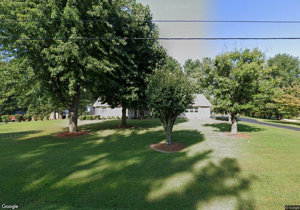
311 Hawthorne Rd Sparta, TN 38583
Estimated Value: $301,017 - $461,000
--
Bed
2
Baths
2,334
Sq Ft
$164/Sq Ft
Est. Value
About This Home
This home is located at 311 Hawthorne Rd, Sparta, TN 38583 and is currently estimated at $382,754, approximately $163 per square foot. 311 Hawthorne Rd is a home located in White County with nearby schools including Northfield Elementary School, White County Middle School, and White County High School.
Ownership History
Date
Name
Owned For
Owner Type
Purchase Details
Closed on
Sep 25, 1998
Sold by
Reyes Ezequiel M and Reyes Sylvia
Bought by
Don Kirby and Don Donna
Current Estimated Value
Purchase Details
Closed on
Jun 26, 1995
Sold by
Hubert Lynch and Hubert Mary
Bought by
Sylvia Hester
Purchase Details
Closed on
Sep 18, 1989
Bought by
Lynch Hubert and Lynch Mary
Purchase Details
Closed on
Jan 1, 1979
Bought by
Lynch Hubert and Lynch Mary
Create a Home Valuation Report for This Property
The Home Valuation Report is an in-depth analysis detailing your home's value as well as a comparison with similar homes in the area
Home Values in the Area
Average Home Value in this Area
Purchase History
| Date | Buyer | Sale Price | Title Company |
|---|---|---|---|
| Don Kirby | $112,500 | -- | |
| Sylvia Hester | $97,000 | -- | |
| Lynch Hubert | $100 | -- | |
| Lynch Hubert | $7,000 | -- |
Source: Public Records
Tax History Compared to Growth
Tax History
| Year | Tax Paid | Tax Assessment Tax Assessment Total Assessment is a certain percentage of the fair market value that is determined by local assessors to be the total taxable value of land and additions on the property. | Land | Improvement |
|---|---|---|---|---|
| 2024 | $1,037 | $50,575 | $4,875 | $45,700 |
| 2023 | $1,037 | $50,575 | $4,875 | $45,700 |
| 2022 | $1,037 | $50,575 | $4,875 | $45,700 |
| 2021 | $1,037 | $50,575 | $4,875 | $45,700 |
| 2020 | $1,037 | $50,575 | $4,875 | $45,700 |
| 2019 | $847 | $41,325 | $4,625 | $36,700 |
| 2018 | $847 | $41,325 | $4,625 | $36,700 |
| 2017 | $847 | $41,325 | $4,625 | $36,700 |
| 2016 | $847 | $41,325 | $4,625 | $36,700 |
| 2015 | $765 | $41,325 | $4,625 | $36,700 |
| 2014 | -- | $41,325 | $4,625 | $36,700 |
| 2013 | -- | $43,975 | $4,625 | $39,350 |
Source: Public Records
Map
Nearby Homes
- 221 Magnolia Rd
- 147 Bob White Dr
- 130 Mallard Dr
- lot 7 James Holman Rd
- lot 6 James Holman Rd
- 1045 Mullican Rd
- 191 Rustling Oaks Dr
- 159 Rustling Oaks Dr
- 0 Saylor Rd
- 00 Saylor Rd
- 366 S Bunker Hill Rd
- 00 Milk Plant Rd
- 00 Oakcrest Dr
- 156 Horseshoe Dr
- 141 Ray Cemetery Rd
- 355 Dillon Gribble Rd
- 1236 Swamp Rd
- 1298 S Bunker Hill Rd
- 470 Black Oak Rd
- 275 Hawthorne Rd
- 187 Magnolia Rd
- 325 Hawthorne Rd
- 155 Magnolia Rd
- 316 Hawthorne Rd
- 280 Hawthorne Rd
- 249 Hawthorne Rd
- 340 Hawthorne Rd
- 115 Magnolia Rd
- 239 Magnolia Rd
- 168 Magnolia Rd
- 220 Magnolia Rd
- 222 Hawthorne Rd
- 207 Hawthorne Rd
- 128 Magnolia Rd
- 241 Brookemeade Dr
- 202 Hawthorne Rd
- 4446 Roberts Matthews Hwy
- 137 Brookemeade Dr
- 171 Hawthorne Rd