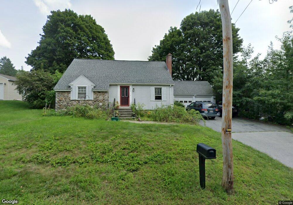
311 Maple St West Boylston, MA 01583
Estimated Value: $485,379 - $508,000
4
Beds
3
Baths
1,341
Sq Ft
$370/Sq Ft
Est. Value
About This Home
This home is located at 311 Maple St, West Boylston, MA 01583 and is currently estimated at $496,095, approximately $369 per square foot. 311 Maple St is a home located in Worcester County with nearby schools including Major Edwards Elementary School, West Boylston Junior/Senior High School, and Abby Kelley Foster Charter Public School.
Ownership History
Date
Name
Owned For
Owner Type
Purchase Details
Closed on
Jun 25, 1999
Sold by
Ballou Mary P
Bought by
Bouchard Paul A and Moreland-Bouchard Lisa
Current Estimated Value
Home Financials for this Owner
Home Financials are based on the most recent Mortgage that was taken out on this home.
Original Mortgage
$142,536
Interest Rate
7.09%
Mortgage Type
Purchase Money Mortgage
Create a Home Valuation Report for This Property
The Home Valuation Report is an in-depth analysis detailing your home's value as well as a comparison with similar homes in the area
Home Values in the Area
Average Home Value in this Area
Purchase History
| Date | Buyer | Sale Price | Title Company |
|---|---|---|---|
| Bouchard Paul A | $154,900 | -- |
Source: Public Records
Mortgage History
| Date | Status | Borrower | Loan Amount |
|---|---|---|---|
| Open | Bouchard Paul A | $169,500 | |
| Closed | Bouchard Paul A | $142,536 | |
| Previous Owner | Bouchard Paul A | $30,000 | |
| Previous Owner | Bouchard Paul A | $6,500 |
Source: Public Records
Tax History Compared to Growth
Tax History
| Year | Tax Paid | Tax Assessment Tax Assessment Total Assessment is a certain percentage of the fair market value that is determined by local assessors to be the total taxable value of land and additions on the property. | Land | Improvement |
|---|---|---|---|---|
| 2025 | $53 | $379,000 | $88,500 | $290,500 |
| 2024 | $4,969 | $336,200 | $88,500 | $247,700 |
| 2023 | $5,031 | $322,900 | $88,000 | $234,900 |
| 2022 | $4,590 | $259,600 | $88,000 | $171,600 |
| 2021 | $3,247 | $247,600 | $83,500 | $164,100 |
| 2020 | $4,416 | $237,700 | $83,500 | $154,200 |
| 2019 | $4,245 | $225,200 | $83,500 | $141,700 |
| 2018 | $2,601 | $220,300 | $83,500 | $136,800 |
| 2017 | $3,909 | $207,900 | $83,500 | $124,400 |
| 2016 | $3,720 | $201,600 | $77,600 | $124,000 |
| 2015 | $3,642 | $198,600 | $76,800 | $121,800 |
Source: Public Records
Map
Nearby Homes
- 12 Birchbrush Ln
- 1 Highland Ave
- 740 Burncoat St Unit B
- 156 Hillside Village Dr
- 1110 W Boylston St Unit A
- 83 Hillside Village Dr
- 7 Christy Ct
- 33 Meola Ave
- 59 Santoro Rd
- 97 Hillside Village Dr
- 33 Isleboro St
- 1097 W Boylston St
- 39 Meola Ave
- 29 Isleboro St
- 39 Davidson Rd
- 44 Dixfield St
- 12 Dixfield Rd
- 31 Danielles Way
- 22 Danielles Way
- 26 Danielles Way