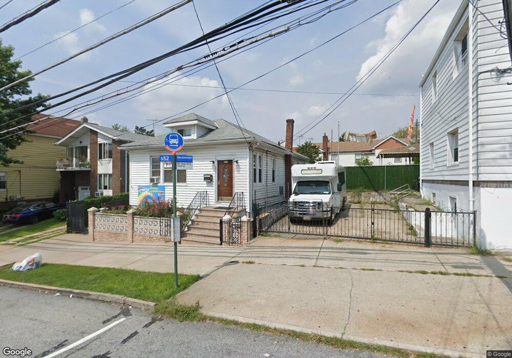
311 Mcclean Ave Staten Island, NY 10305
South Beach NeighborhoodEstimated Value: $701,107 - $843,000
3
Beds
4
Baths
1,040
Sq Ft
$769/Sq Ft
Est. Value
About This Home
This home is located at 311 Mcclean Ave, Staten Island, NY 10305 and is currently estimated at $799,777, approximately $769 per square foot. 311 Mcclean Ave is a home located in Richmond County with nearby schools including P.S. 39 The Francis J. Murphy Jr. School, I.S. 49 Berta A Dreyfus, and Curtis High School.
Ownership History
Date
Name
Owned For
Owner Type
Purchase Details
Closed on
Aug 8, 2022
Sold by
Najah Lewis
Bought by
Taji Management Corp
Current Estimated Value
Purchase Details
Closed on
May 1, 2007
Sold by
Licastri Ciro and Licastri Lucia
Bought by
Lewis Najah
Home Financials for this Owner
Home Financials are based on the most recent Mortgage that was taken out on this home.
Original Mortgage
$394,320
Interest Rate
6.37%
Mortgage Type
Purchase Money Mortgage
Create a Home Valuation Report for This Property
The Home Valuation Report is an in-depth analysis detailing your home's value as well as a comparison with similar homes in the area
Home Values in the Area
Average Home Value in this Area
Purchase History
| Date | Buyer | Sale Price | Title Company |
|---|---|---|---|
| Taji Management Corp | -- | Stewart Title | |
| Lewis Najah | $492,900 | Stewart Title Insurance Co |
Source: Public Records
Mortgage History
| Date | Status | Borrower | Loan Amount |
|---|---|---|---|
| Previous Owner | Lewis Najah | $394,320 |
Source: Public Records
Tax History
| Year | Tax Paid | Tax Assessment Tax Assessment Total Assessment is a certain percentage of the fair market value that is determined by local assessors to be the total taxable value of land and additions on the property. | Land | Improvement |
|---|---|---|---|---|
| 2025 | $5,765 | $35,640 | $9,220 | $26,420 |
| 2024 | $5,765 | $33,840 | $9,161 | $24,679 |
| 2023 | $5,561 | $27,383 | $8,134 | $19,249 |
| 2022 | $5,157 | $36,660 | $10,800 | $25,860 |
| 2021 | $5,437 | $33,060 | $10,800 | $22,260 |
| 2020 | $5,367 | $31,560 | $10,800 | $20,760 |
| 2019 | $5,004 | $28,860 | $10,800 | $18,060 |
| 2018 | $4,652 | $22,819 | $8,400 | $14,419 |
| 2017 | $4,388 | $21,528 | $10,013 | $11,515 |
| 2016 | $4,304 | $21,528 | $9,639 | $11,889 |
| 2015 | $3,825 | $21,128 | $7,730 | $13,398 |
| 2014 | $3,825 | $19,933 | $8,742 | $11,191 |
Source: Public Records
Map
Nearby Homes
- 315 Mcclean Ave
- 112 Sand Ln
- 116 Sand Ln
- 319 Mcclean Ave
- 108 Sand Ln
- 134 Macfarland Ave
- 136 Macfarland Ave
- 323 Mcclean Ave
- 138 Macfarland Ave
- 100 Sand Ln
- 120 Sand Ln
- 140 Macfarland Ave
- 312 Mcclean Ave
- 316 Mcclean Ave
- 5 Piave Ave
- 327 Mcclean Ave
- 281 Mcclean Ave
- 144 Macfarland Ave
- 128 Sand Ln
- 326 Mcclean Ave
Your Personal Tour Guide
Ask me questions while you tour the home.