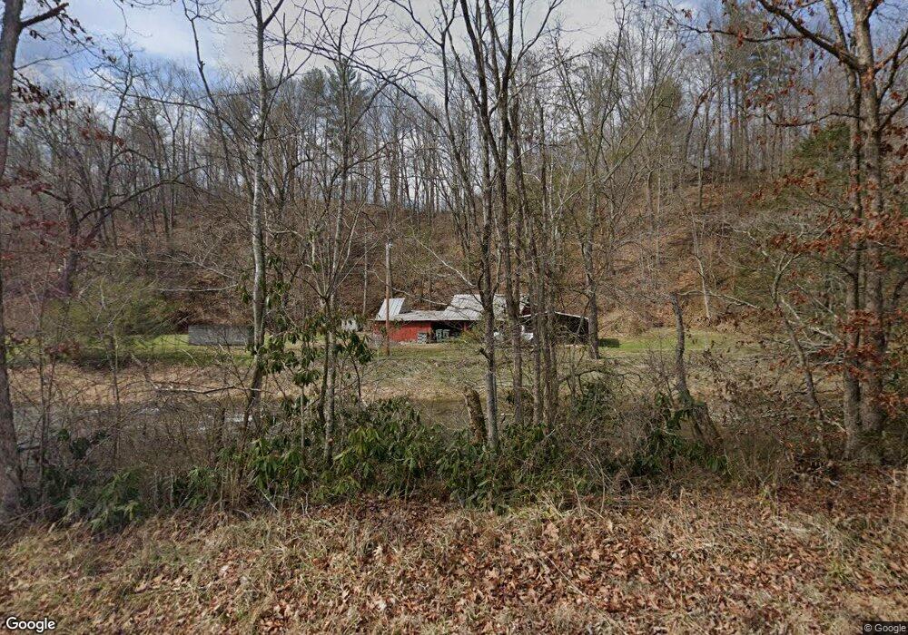
311 McEwen Bridge Ln Butler, TN 37640
Estimated Value: $199,000 - $370,000
--
Bed
1
Bath
2,279
Sq Ft
$140/Sq Ft
Est. Value
About This Home
This home is located at 311 McEwen Bridge Ln, Butler, TN 37640 and is currently estimated at $319,159, approximately $140 per square foot. 311 McEwen Bridge Ln is a home located in Johnson County with nearby schools including Johnson County Middle School and Johnson County High School.
Ownership History
Date
Name
Owned For
Owner Type
Purchase Details
Closed on
Mar 4, 2025
Sold by
Summerow Michelle Marie and Summerow Michele Marie
Bought by
Ballard William R and Ballard Barbara S
Current Estimated Value
Purchase Details
Closed on
Jun 1, 2016
Sold by
Luckett Kenneth Robert
Bought by
Summerow Michelle Marie and Luckett Joseph Michael
Purchase Details
Closed on
Feb 4, 2016
Sold by
Luckett Kenneth Robert
Bought by
Luckett Kenneth Robert and Summerow Michelle Marie
Purchase Details
Closed on
Jul 15, 2014
Sold by
Luckett Kenneth Warren
Bought by
Luckett Kenneth Robert
Purchase Details
Closed on
Feb 24, 1984
Bought by
Luckett Kenneth W and Goldie Mae
Create a Home Valuation Report for This Property
The Home Valuation Report is an in-depth analysis detailing your home's value as well as a comparison with similar homes in the area
Home Values in the Area
Average Home Value in this Area
Purchase History
| Date | Buyer | Sale Price | Title Company |
|---|---|---|---|
| Ballard William R | $350,000 | None Listed On Document | |
| Ballard William R | $350,000 | None Listed On Document | |
| Summerow Michelle Marie | -- | -- | |
| Luckett Kenneth Robert | -- | -- | |
| Luckett Kenneth Robert | $175,000 | -- | |
| Luckett Kenneth W | -- | -- |
Source: Public Records
Tax History Compared to Growth
Tax History
| Year | Tax Paid | Tax Assessment Tax Assessment Total Assessment is a certain percentage of the fair market value that is determined by local assessors to be the total taxable value of land and additions on the property. | Land | Improvement |
|---|---|---|---|---|
| 2024 | $966 | $43,725 | $8,675 | $35,050 |
| 2023 | $966 | $43,725 | $8,675 | $35,050 |
| 2022 | $791 | $43,725 | $8,675 | $35,050 |
| 2021 | $791 | $43,725 | $8,675 | $35,050 |
| 2020 | $834 | $43,725 | $8,675 | $35,050 |
| 2019 | $834 | $40,675 | $8,675 | $32,000 |
| 2018 | $834 | $40,675 | $8,675 | $32,000 |
| 2017 | $942 | $40,675 | $8,675 | $32,000 |
| 2016 | $787 | $38,375 | $6,375 | $32,000 |
| 2015 | $695 | $38,375 | $6,375 | $32,000 |
| 2014 | $733 | $40,500 | $5,700 | $34,800 |
Source: Public Records
Map
Nearby Homes
- 1331 Pine Orchard Rd
- 1820 Pine Orchard Rd
- 000 W Highway 67
- 1208 Doe Creek Rd
- 382 Lowell Stalcup Rd
- 268 Moreland Dr
- 4379 Pine Orchard Rd
- 125 Dogwood Ln
- 672 Stage Coach Loop
- 00 Roan Creek Rd
- 800 Leason Gregg Rd
- 14135 W Hwy 67 (30 82 Acres)
- 14135 Hwy 67w (30 82 Acres)
- 14135 W Highway 67 (30 82 Acres)
- 9222 Roan Creek Rd
- 00 Sink Valley Rd
- 3379 Tbd Sink Valley Rd
- Tbd Spear Branch Rd
- TBD Roan Creek Rd
- Lot 6b Roan Creek Rd
- 10474 Highway 67 W
- 10474 Highway 67 W Unit W
- 255 Old Highway 67
- 255 Old Highway 67
- 1410 Old Highway 67
- 255 Old Highway 67
- TBD Hwy 67 W S of
- tba Highway 67e
- 522 Old Highway 67
- 10467 Highway 67 W
- 10553 Highway 67 W
- 10301 Highway 67 W
- 10716 Highway 67 W
- 10715 Highway 67 W
- 668 Old Highway 67 Unit 3
- 10756 Highway 67 W
- 10201 Highway 67 W
- 1024 Old Highway 67
- 10893 Highway 67 W
- 132 Campbell Hollow Ln