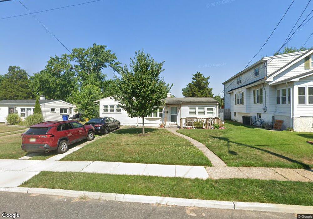
311 Ruth Ave Maple Shade, NJ 08052
Estimated Value: $248,712 - $317,000
--
Bed
--
Bath
1,219
Sq Ft
$235/Sq Ft
Est. Value
About This Home
This home is located at 311 Ruth Ave, Maple Shade, NJ 08052 and is currently estimated at $286,678, approximately $235 per square foot. 311 Ruth Ave is a home located in Burlington County with nearby schools including Maude M. Wilkins Elementary School, Ralph J Steinhauer Elementary School, and Howard R Yocum School.
Ownership History
Date
Name
Owned For
Owner Type
Purchase Details
Closed on
Oct 9, 2007
Sold by
Depierro Barbara
Bought by
Stoop Michael and Stoop Tina
Current Estimated Value
Home Financials for this Owner
Home Financials are based on the most recent Mortgage that was taken out on this home.
Original Mortgage
$188,049
Interest Rate
6.02%
Mortgage Type
FHA
Purchase Details
Closed on
Aug 28, 1998
Sold by
Mcquaid William J and Mcquaid Louann
Bought by
Depierro Barbara
Create a Home Valuation Report for This Property
The Home Valuation Report is an in-depth analysis detailing your home's value as well as a comparison with similar homes in the area
Home Values in the Area
Average Home Value in this Area
Purchase History
| Date | Buyer | Sale Price | Title Company |
|---|---|---|---|
| Stoop Michael | $191,000 | None Available | |
| Depierro Barbara | $79,900 | -- |
Source: Public Records
Mortgage History
| Date | Status | Borrower | Loan Amount |
|---|---|---|---|
| Previous Owner | Stoop Michael | $188,049 |
Source: Public Records
Tax History Compared to Growth
Tax History
| Year | Tax Paid | Tax Assessment Tax Assessment Total Assessment is a certain percentage of the fair market value that is determined by local assessors to be the total taxable value of land and additions on the property. | Land | Improvement |
|---|---|---|---|---|
| 2025 | $5,109 | $134,600 | $48,600 | $86,000 |
| 2024 | $4,961 | $134,600 | $48,600 | $86,000 |
| 2023 | $4,961 | $134,600 | $48,600 | $86,000 |
| 2022 | $4,885 | $134,600 | $48,600 | $86,000 |
| 2021 | $4,838 | $134,600 | $48,600 | $86,000 |
| 2020 | $4,851 | $134,600 | $48,600 | $86,000 |
| 2019 | $4,673 | $134,600 | $48,600 | $86,000 |
| 2018 | $4,593 | $134,600 | $48,600 | $86,000 |
| 2017 | $4,539 | $134,600 | $48,600 | $86,000 |
| 2016 | $4,471 | $134,600 | $48,600 | $86,000 |
| 2015 | $4,375 | $134,600 | $48,600 | $86,000 |
| 2014 | $4,241 | $134,600 | $48,600 | $86,000 |
Source: Public Records
Map
Nearby Homes
- 306 E Rudderow Ave
- 226 S Pine Ave
- 200 E Rudderow Ave
- 621 S Forklanding Rd
- 44 S Pine Ave
- 31 S Boulevard Ave
- 120 E Center Ave
- 15 S Pine Ave
- 52 S Fellowship Rd
- 410 S Forklanding Rd
- 702 E Main St
- 115 E Kings Hwy Unit 386
- 115 E Kings Hwy Unit 410
- 115 E Kings Hwy Unit 444
- 115 E Kings Hwy Unit 443
- 112 S Maple Ave
- 114 Grant Ave
- 477 Buttonwood Ave
- 99 Grant Ave
- 107 S Forklanding Rd