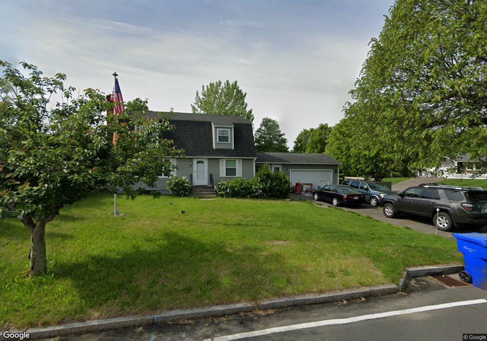
311 S Branch Pkwy Springfield, MA 01118
East Forest Park NeighborhoodEstimated Value: $341,000 - $391,957
4
Beds
2
Baths
1,824
Sq Ft
$204/Sq Ft
Est. Value
About This Home
This home is located at 311 S Branch Pkwy, Springfield, MA 01118 and is currently estimated at $372,739, approximately $204 per square foot. 311 S Branch Pkwy is a home located in Hampden County with nearby schools including Frank H. Freedman School, M Marcus Kiley Middle, and Springfield High School of Science and Technology.
Ownership History
Date
Name
Owned For
Owner Type
Purchase Details
Closed on
Feb 4, 2011
Sold by
Sliwa Andrew E and Sliwa Kathleen A
Bought by
Springfield City Of
Current Estimated Value
Purchase Details
Closed on
Nov 1, 2001
Sold by
Salomon Bros Mtg Sec
Bought by
Sliwa Andrew E and Sliwa Kathleen Ann
Home Financials for this Owner
Home Financials are based on the most recent Mortgage that was taken out on this home.
Original Mortgage
$108,800
Interest Rate
6.82%
Mortgage Type
Purchase Money Mortgage
Purchase Details
Closed on
Jul 26, 2001
Sold by
Alli Thomas
Bought by
Wells Fargo Home Mtg
Create a Home Valuation Report for This Property
The Home Valuation Report is an in-depth analysis detailing your home's value as well as a comparison with similar homes in the area
Home Values in the Area
Average Home Value in this Area
Purchase History
| Date | Buyer | Sale Price | Title Company |
|---|---|---|---|
| Springfield City Of | -- | -- | |
| Sliwa Andrew E | $108,500 | -- | |
| Wells Fargo Home Mtg | $105,000 | -- |
Source: Public Records
Mortgage History
| Date | Status | Borrower | Loan Amount |
|---|---|---|---|
| Previous Owner | Wells Fargo Home Mtg | $108,800 | |
| Previous Owner | Wells Fargo Home Mtg | $111,350 | |
| Previous Owner | Wells Fargo Home Mtg | $109,261 |
Source: Public Records
Tax History Compared to Growth
Tax History
| Year | Tax Paid | Tax Assessment Tax Assessment Total Assessment is a certain percentage of the fair market value that is determined by local assessors to be the total taxable value of land and additions on the property. | Land | Improvement |
|---|---|---|---|---|
| 2025 | $5,116 | $326,300 | $49,000 | $277,300 |
| 2024 | $4,744 | $295,400 | $49,000 | $246,400 |
| 2023 | $4,580 | $268,600 | $46,700 | $221,900 |
| 2022 | $4,374 | $232,400 | $46,700 | $185,700 |
| 2021 | $4,234 | $224,000 | $42,400 | $181,600 |
| 2020 | $4,070 | $208,400 | $42,400 | $166,000 |
| 2019 | $3,946 | $200,500 | $42,400 | $158,100 |
| 2018 | $4,135 | $210,100 | $42,400 | $167,700 |
| 2017 | $3,861 | $196,400 | $42,400 | $154,000 |
| 2016 | $3,417 | $173,800 | $42,400 | $131,400 |
| 2015 | $3,625 | $184,300 | $42,400 | $141,900 |
Source: Public Records
Map
Nearby Homes
- 17 Briarwood Ave
- 323 S Branch Pkwy
- 297 S Branch Pkwy
- 20 Terrace Ln
- 27 Briarwood Ave
- 18 Briarwood Ave
- 289 S Branch Pkwy
- 30 Terrace Ln
- 31 Briarwood Ave
- 337 S Branch Pkwy
- 24 Briarwood Ave
- 281 S Branch Pkwy
- 27 Terrace Ln
- 39 Briarwood Ave
- 40 Terrace Ln
- 32 Briarwood Ave
- 353 S Branch Pkwy
- 271 S Branch Pkwy
- 40 Briarwood Ave
- 47 Briarwood Ave