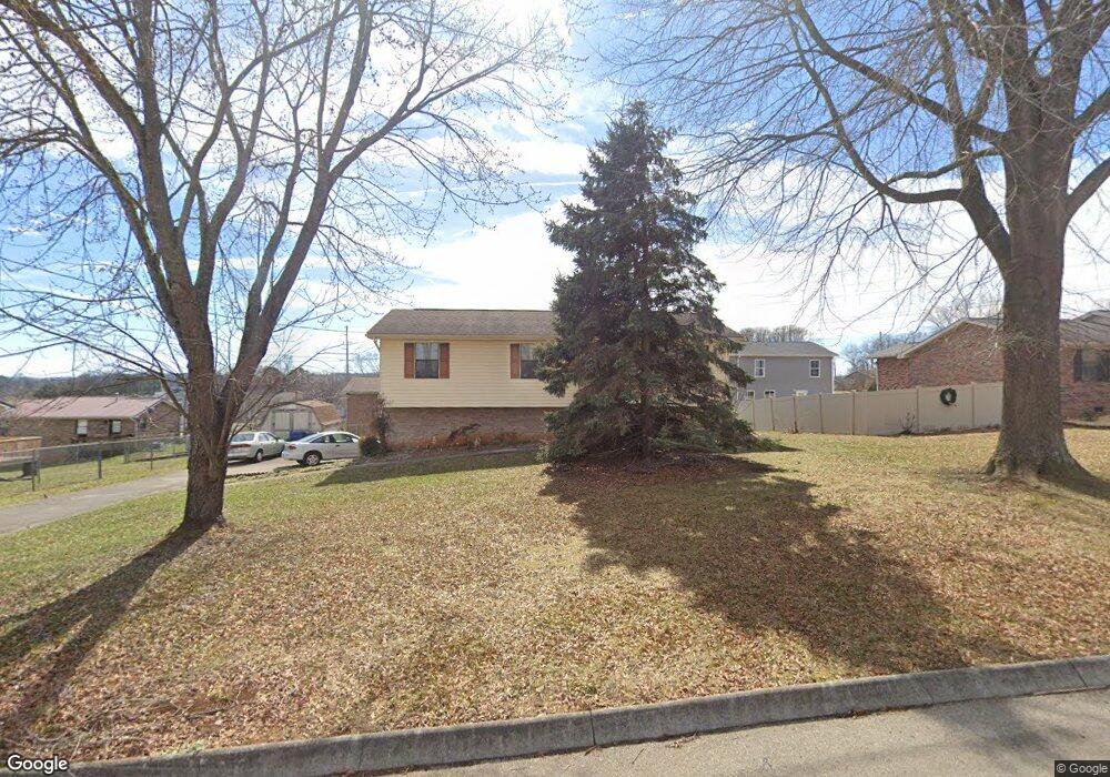
311 Shamrock Dr Jefferson City, TN 37760
Estimated Value: $205,824 - $259,000
--
Bed
1
Bath
1,063
Sq Ft
$224/Sq Ft
Est. Value
About This Home
This home is located at 311 Shamrock Dr, Jefferson City, TN 37760 and is currently estimated at $237,706, approximately $223 per square foot. 311 Shamrock Dr is a home located in Jefferson County with nearby schools including Heritage Christian Academy.
Ownership History
Date
Name
Owned For
Owner Type
Purchase Details
Closed on
Oct 3, 2025
Sold by
Gammon Troy W and Gammon Vivian J
Bought by
Tomm Jersey Elaine and Tomm Dylan Christopher
Current Estimated Value
Home Financials for this Owner
Home Financials are based on the most recent Mortgage that was taken out on this home.
Original Mortgage
$238,800
Outstanding Balance
$238,800
Interest Rate
6.58%
Mortgage Type
VA
Estimated Equity
-$1,094
Purchase Details
Closed on
Feb 11, 1994
Sold by
David Hayes H
Bought by
Troy Gammon
Purchase Details
Closed on
Apr 30, 1992
Bought by
Hayes Hayes H and Hayes Sharon
Create a Home Valuation Report for This Property
The Home Valuation Report is an in-depth analysis detailing your home's value as well as a comparison with similar homes in the area
Home Values in the Area
Average Home Value in this Area
Purchase History
| Date | Buyer | Sale Price | Title Company |
|---|---|---|---|
| Tomm Jersey Elaine | $238,800 | None Listed On Document | |
| Troy Gammon | $8,500 | -- | |
| Hayes Hayes H | -- | -- |
Source: Public Records
Mortgage History
| Date | Status | Borrower | Loan Amount |
|---|---|---|---|
| Open | Tomm Jersey Elaine | $238,800 |
Source: Public Records
Tax History Compared to Growth
Tax History
| Year | Tax Paid | Tax Assessment Tax Assessment Total Assessment is a certain percentage of the fair market value that is determined by local assessors to be the total taxable value of land and additions on the property. | Land | Improvement |
|---|---|---|---|---|
| 2025 | $589 | $49,075 | $9,000 | $40,075 |
| 2023 | $1,017 | $29,050 | $0 | $0 |
| 2022 | $985 | $29,050 | $6,250 | $22,800 |
| 2021 | $985 | $29,050 | $6,250 | $22,800 |
| 2020 | $985 | $29,050 | $6,250 | $22,800 |
| 2019 | $985 | $29,050 | $6,250 | $22,800 |
| 2018 | $861 | $24,250 | $4,500 | $19,750 |
| 2017 | $861 | $24,250 | $4,500 | $19,750 |
| 2016 | $861 | $24,250 | $4,500 | $19,750 |
| 2015 | $849 | $24,250 | $4,500 | $19,750 |
| 2014 | $837 | $24,250 | $4,500 | $19,750 |
Source: Public Records
Map
Nearby Homes
- 409 Clearbrook Dr
- 431 Clearbrook Dr
- 1819 Brookline Ct
- 902 N College St
- 1905 Walnut Ave
- 1003 Battle Ridge
- 1366 Clinch View Cir
- 1015 Battle Ridge
- 1004 Battle Ridge
- Cabral Plan at Battle Ridge
- Macon Plan at Battle Ridge
- Aria Plan at Battle Ridge
- Sullivan Plan at Battle Ridge
- Freeport Plan at Battle Ridge
- Glendale Plan at Battle Ridge
- Cali Plan at Battle Ridge
- Belhaven Plan at Battle Ridge
- 807 E Ellis St
- 1405 Odell Ave
- 230 Fieldcrest Dr
- 307 Shamrock Dr
- 315 Shamrock Dr
- 1630 Meadow Spring Dr
- 1634 Meadow Spring Dr
- 314 Shamrock Dr
- 310 Shamrock Dr
- 1626 Meadow Spring Dr
- 1634 Meadows Spring Dr
- 319 Shamrock Dr
- 306 Shamrock Dr
- 303 Shamrock Dr
- 1638 Meadow Spring Dr
- 1622 Meadow Spring Dr
- 413 Clearbrook Dr
- 1629 Meadow Spring Dr
- 1627 Meadow Spring Dr
- 1664 Meadow Spring Dr
- 322 Shamrock Dr
- 417 Clearbrook Dr
- 1635 Meadow Spring Dr