Estimated Value: $569,000 - $651,000
2
Beds
2
Baths
1,261
Sq Ft
$484/Sq Ft
Est. Value
About This Home
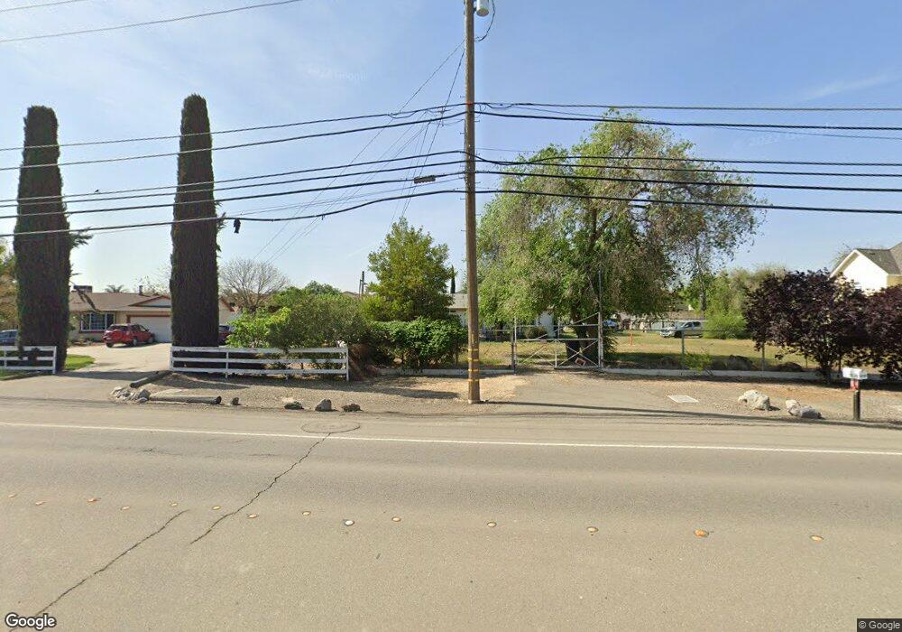
This home is located at 3110 W Byron Rd, Tracy, CA 95377 and is currently estimated at $610,791, approximately $484 per square foot. 3110 W Byron Rd is a home located in San Joaquin County with nearby schools including Melville S. Jacobson Elementary School, Monte Vista Middle School, and Merrill F. West High School.
Ownership History
Date
Name
Owned For
Owner Type
Purchase Details
Closed on
May 20, 2000
Sold by
Salais Abel and Salais Elizabeth S
Bought by
Estrella Herman N and Estrella Eufemia M
Current Estimated Value
Purchase Details
Closed on
Dec 12, 1996
Sold by
Guarda and Monica
Bought by
Salais Abel and Salais Elizabeth S
Home Financials for this Owner
Home Financials are based on the most recent Mortgage that was taken out on this home.
Original Mortgage
$120,000
Interest Rate
7.81%
Create a Home Valuation Report for This Property
The Home Valuation Report is an in-depth analysis detailing your home's value as well as a comparison with similar homes in the area
Home Values in the Area
Average Home Value in this Area
Purchase History
| Date | Buyer | Sale Price | Title Company |
|---|---|---|---|
| Estrella Herman N | -- | -- | |
| Salais Abel | $120,000 | Old Republic Title Company |
Source: Public Records
Mortgage History
| Date | Status | Borrower | Loan Amount |
|---|---|---|---|
| Previous Owner | Salais Abel | $120,000 |
Source: Public Records
Tax History
| Year | Tax Paid | Tax Assessment Tax Assessment Total Assessment is a certain percentage of the fair market value that is determined by local assessors to be the total taxable value of land and additions on the property. | Land | Improvement |
|---|---|---|---|---|
| 2025 | $3,912 | $226,007 | $150,673 | $75,334 |
| 2024 | $3,745 | $221,576 | $147,719 | $73,857 |
| 2023 | $3,668 | $217,232 | $144,823 | $72,409 |
| 2022 | $3,567 | $212,974 | $141,984 | $70,990 |
| 2021 | $3,570 | $208,799 | $139,200 | $69,599 |
| 2020 | $3,511 | $206,659 | $137,773 | $68,886 |
| 2019 | $3,511 | $202,608 | $135,072 | $67,536 |
| 2018 | $3,457 | $198,636 | $132,424 | $66,212 |
| 2017 | $3,230 | $194,742 | $129,828 | $64,914 |
| 2016 | $3,292 | $190,925 | $127,283 | $63,642 |
| 2015 | $3,241 | $188,058 | $125,372 | $62,686 |
| 2014 | $3,162 | $184,375 | $122,917 | $61,458 |
Source: Public Records
Map
Nearby Homes
- 3030 W Byron Rd
- 2902 Campbell Ln
- 1294 Dover Ln
- 1214 Dover Ln
- 2685 Remy Javier St
- 2431 Ogden Sannazor Ct
- 2306 Sabrina Way
- 1233 Plaza Ct
- 2689 Jackson Ave
- 2231 Hillcrest Dr
- 2921 Compton Place
- 2431 Garrett Ct
- 1890 Spring Valley Way
- 2219 Yellowstone Ave
- 1940 Mcpeak Ct
- 1974 Paradise Valley Ct
- 2432 Tennis Ln
- 8300 W 11th St
- 1830 Laurelgrove Ln
- 1955 Clearbrook Ct
- 3130 W Byron Rd
- 3090 W Byron Rd
- 3147 Ormonde St
- 3137 Ormonde St
- 3157 Ormonde St
- 3127 Ormonde St
- 3167 Ormonde St
- 3117 Ormonde St
- 3177 Ormonde St
- 3107 Ormonde St
- 3160 W Byron Rd
- 3060 W Byron Rd
- 3187 Ormonde St
- 3097 Ormonde St
- 3150 W Byron Rd
- 3197 Ormonde St
- 3146 Ormonde St
- 3136 Ormonde St
- 3156 Ormonde St
- 3087 Ormonde St
Your Personal Tour Guide
Ask me questions while you tour the home.